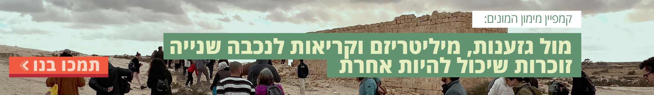
בזוכרות אנחנו פועלות אל מול מאמצי צנזורה, השתקה והסתרה של העובדות ההיסטוריות, נגד בורות מכוונת וחתירה לרמיסת התקווה, לא רק כדי להמשיך לאסוף ולהנגיש ידע אודות הנכבה והאלימות המכוונת שנקטה ישראל ב48' ועודה נוקטת נגד הפלסטינים, אלא כדי לעודד ולאמן את כולנו לפתוח את העיניים ואת הלב, לבחון מחדש את מה שאנחנו יודעים על עצמנו, על הארץ ועל ההיסטוריה שלנו, לשאול שאלות קשות, להתמודד עם תשובות כואבות ולפעול למען עתיד שוויוני וצודק. לקריאה נוספת
האפליקציה iReturn


תמיכה בזוכרות היא פתח לתקווה. אנו רואות בכך לא רק כלי מעשי שיאפשר לנו לקיים את פעילותינו, אלא גם אמצעי להרחבת המעגלים של הקהילה שלנו, וברמה הסמלית - תזכורת מתמדת למה שאסור לנו לשכוח – הצטרפו לתומכות ותומכי קהילת זוכרות
תמכו בזוכרות

הצטרפו אלינו במאבק נגד ההשתקה וההסתרה, לקידום הכרה בנכבה הפלסטינית ובזכות השיבה של הפליטים. הצטרפו אלינו בלקיחת אחריות על עוולות העבר למען עתיד של צדק ושוויון.