Area: West Bank
Camp Size: 0.253
Population Size: 12,930
Established date: 1949
Population Density: 51,383
Background:
Jalazone camp is located north of Ramallah and directly borders Beit El (an Israeli settlement illegal under international law) to the east. Extensive population growth since the camp was established in 1949 has resulted in overcrowding and overburdened infrastructure, as well as land-usage disputes among camp residents and between the camp and surrounding villages.
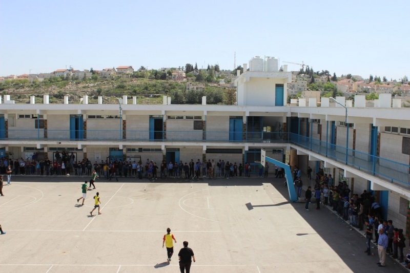
Following the Oslo Accords, the majority of Jalazone camp fell under joint Israeli-Palestinian control (Area B). The ongoing expansion of the Israeli settlement, Beit El, has served as a catalyst for intensified confrontations between camp residents and Israeli security forces (ISF). Clashes occur almost daily and sometimes result in the ISF entering the camp. The UNRWA Jalazone Boys’ School is located just outside the camp in Area C and rests directly opposite the Israeli Beit El settlement. The school’s location is a significant protection concern due to the clashes in this area and the Israeli military presence around the settlement.
Jalazone residents used to depend on work opportunities outside the camp, which included work inside Israel and in neighbouring settlements. However, since the end of the first intifada, these work opportunities have become largely closed off to camp residents due to road closures and movement restrictions. This has resulted in consistently high levels of unemployment.