Area: West Bank
Camp Size: 0.071
Population Size: 5,498
Established date: 1950
Population Density: 77,464
Background:
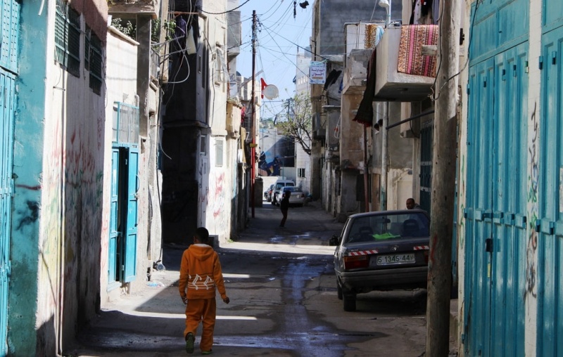
Aida camp was established in 1950 on land UNRWA leased from the government of Jordan. The camp is located between the municipalities of Bethlehem, Beit Jala and Jerusalem. It is partially surrounded by the West Bank Barrier and is near to Har Homa and Gilo, two large Israeli settlements that are illegal under international law. These factors, along with the constant military presence and the camps’ proximity to the main checkpoint between Jerusalem and Bethlehem, have made the camp vulnerable to a number of protection concerns. These include regular incursions by Israeli Security Forces (ISF), clashes involving camp residents, many of whom are children, and an increasing number of injuries as a result of excessive force by the ISF.
After the Oslo Accords, the majority of Aida camp fell under Palestinian control (Area A), while some of its periphery (such as the main road running alongside the Barrier) fell under Israeli control (Area C). As a result of the Barrier and its associated regime, residents now have limited access to job opportunities in Israel and East Jerusalem.
The Barrier has also isolated Aida camp from the surrounding recreational area that was once available to residents. Residents have responded by organizing a recreational space on the border of the camp, including a playground, garden and a soccer field.
Aida camp covers a small area of 0.71 square kilometres that has not grown significantly with the refugee population. As such, it faces severe overcrowding problems. Poor personal safety and access (due to the camp’s proximity to the West Bank Barrier) and poor infrastructure are also cited by camp residents as among the most urgent challenges they face.