Info
District: Baysan
Population 1948: 270
Occupation date: 11/05/1948
Occupying unit: Golani
Jewish settlements on village/town land before 1948: None
Jewish settlements on village/town land after 1948: Shluhot, Reshafim
Background:
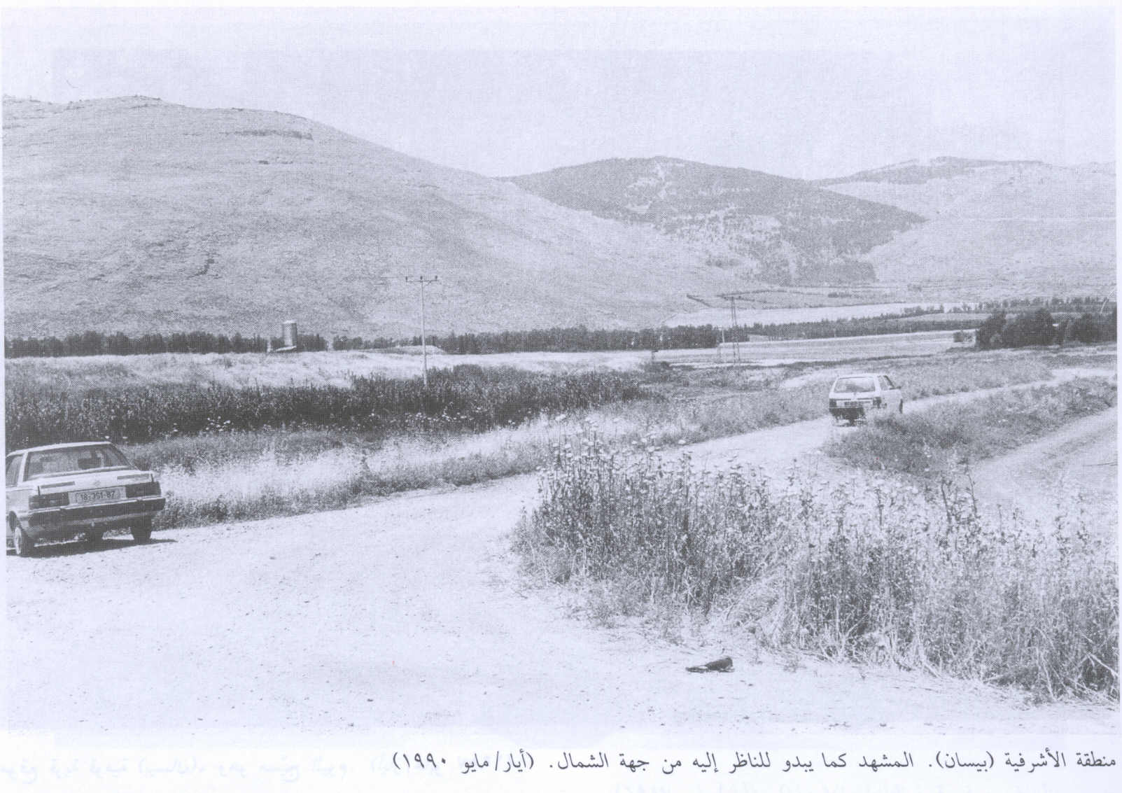
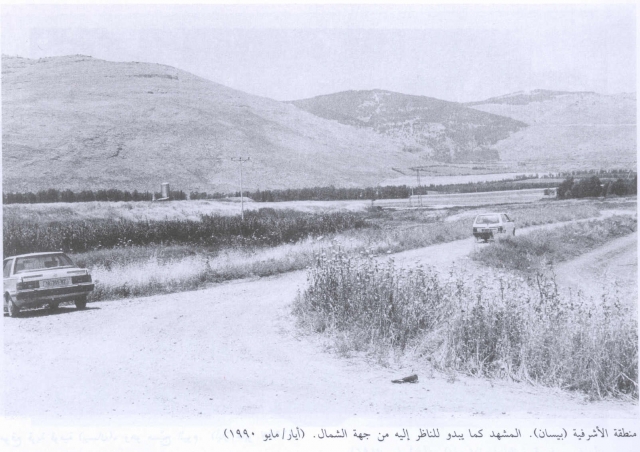
al-Ashrafiyya Before 1948
The village stood on a flat area about 2 km to the east of the al-Faqqu`a (or Jilbu`) Mountains, and overlooked low-lying lands to the north and west sides. Mount Tabor was visible in the distance on the northwest. On the eastern side the village faced the highlands east of the Jordan. This elevated location may explain the village's name, al-Ashrafiyya, which was derived from the Arabic verb “to overlook.” The location also afforded the village protection from the flooding of Wadi al-Maddu`, which flowed west of it. The Baysan-Jericho highway ran about 2 km east of al-Ashrafiyya, and a secondary road linked the village to this highway. It was classified as a hamlet during the Mandate era by the Palestine Index Gazeteer.
The people of al-Ashrafiyya were Muslims, and built their mud houses in clusters, separated by narrow alleys. Most of its lands were cultivated, thanks to the abundance of water from rain and springs, the fertility of the soil, and the easily-tilled, level terrain. Agriculture consisted primarily of vegetables, fruits trees such as citrus and bananas, and olives. In 1944-45 a total of 143 dunums was devoted to citrus and bananas and 7 dunums were allocated to cereals; 4,458 dunums were irrigated or used for orchards. Most of the villages worked in agriculture and animal husbandry.
Occupation and Depopulation
Units of the Golani Brigade attacked and captured the village on the night of 10-11 May 1948. The assault was undertaken as a prelude to the attack on Baysan the following day. Baysan`s other “satellite village,” Farwana, was occupied at the same time. Both were probably among eight villages reported captured near Baysan on 13 May, according to the Associated Press. Relying on Israeli sources, Benny Morris writes that the inhabitants of Forwana fled to Transjordan “as the troops approached” and that after its capture “Haganah sappers began to blow up the village houses.”
The clearing of the Baysan Valley was code-named Operation Gideon and was implemented by the Haganah`s Golani Brigade between 10 and 15 May 1948, just before the establishment of the state of Israel. It is possible that the Irgun Zvai Leumi also took part in this offensive, since it announced on 14 May that it had taken five Arab Villages in the North.
Israel Settlements on Village Lands
Two settlements that that were established in 1948, Reshafim and Sheluchot, are located east of the village site on village land.
The Village Today
The side and the area around it are cultivated by the residents of Reshafim. A fishery als has been built on the site.
------------------------
Source: al-Khalidi, Walid (ed.). All that remains: the Palestinian villages occupied and depopulated by Israel in 1948. Washington DC: 1992.
Images