Info
District: Tulkarm
Population 1948: 1130
Occupation date: 01/04/1948
Jewish settlements on village/town land before 1948: Netanya
Jewish settlements on village/town land after 1948: Beit Yitzhak-Sha'ar Hefer Expansion
Background:
Umm Khalid Before 1948:
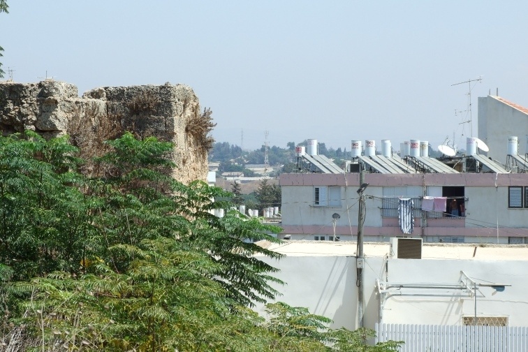
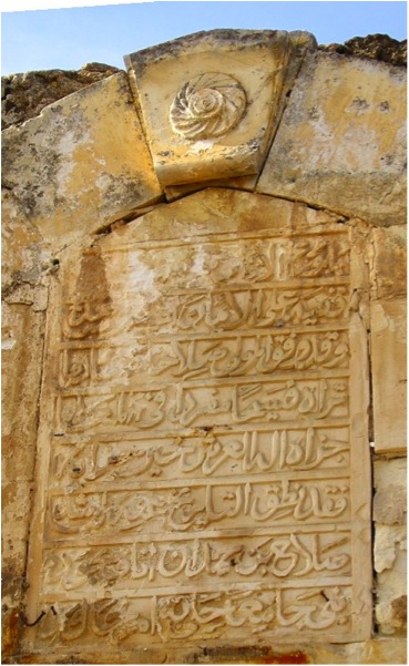
The village was located on a sandstone hill less than 2 km east of the Mediterranean shore and North of the Tulkarm-Netanya highway. Flint tools suggest that the area may have been inhabited since prehistoric times. The village site contains the Lombard Castle of Roger, which was built by the Crusaders. After Napoleon’s troops failed to conquer Acre in northern Palestine they razed Umm Khalid in 1799 on their return to Egypt. Throughout the nineteenth century Ottoman officials often stopped and received dignitaries at Umm Khalid, as it served as a rest area between al-Tantura (Haifa District) and Ra’s al-’Ayn, a village in the Jaffa District on the al-’Awja River.
The village was rectangular in shape, extending in a north-south direction. Stone and mud houses were crowded together, separated by narrow alleys. The village was endowed with fertile soil and plentiful underground water, allowing for extensive melon gardens throughout the village. An elementary boys school, a mosque and four shops for groceries and fabrics lay at the center of the village. Agriculture was the economic mainstay of the village, attracting many neighboring Muslims seeking agricultural work. Beyond the melon fields the villagers raised livestock and processed dairy products.
Occupation and Depopulation:
According to an Israeli intelligence report, Umm Khalid was evacuated on 20 March 1948, out of a general sense of fear. Israeli historian Benny Morris states that a number of villages north of Tel Aviv suffered the same fate, as the coastal area became a focal point for Jewish settlements.
Israeli Settlement on Village Lands:
Much of the village lands have been engulfed by the suburbs of the city of Netanya founded in 1929. The settlements of Gan Chefer founded in 1940, and Nira, founded in 1941, were merged in 1953 to form a single larger settlement, Sha’ar Chefer; which covers part of village lands.
The Village Today:
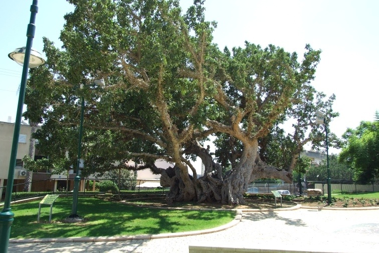
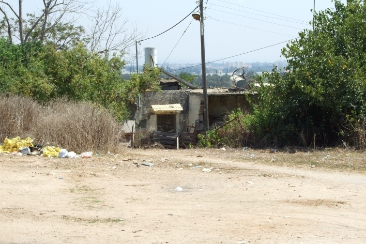
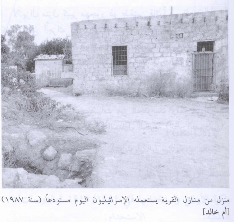
The village site today has been incorporated into the city of Netanya. Old village houses are used as either residences or for commercial purposes such as warehouses for Israeli companies.
--------------------------
Source: al-Khalidi, Walid (ed.). All that remains: the Palestinian villages occupied and depopulated by Israel in 1948. Washington DC: 1992.
Images

Videos
Booklets
Others
Locality events