Info
District: Tulkarm
Occupation date: 01/04/1948
Jewish settlements on village/town land before 1948: None
Jewish settlements on village/town land after 1948: A part of South Netanya Industry Area
Background:
Bayyarat Hannun Before 1948:
The village of Bayyarrat Hannun was classified as a hamlet by the Palestinian Index Gazetteer and stood on top of a slight elevation above flat ground. To the south was a pond with a large house in the nearby vicinity. The village was linked by secondary roads to nearby villages and localities. The name, bayyara, meant “orchard” in Arabic, suggesting that the village was likely established during the areas citrus boom throughout the coastal regions of Palestine in the 1880s.
Occupation and Depopulation:
Official dates on Israeli occupation of Bayyarat Hannun are not known, however according to Benny Morris the coastal region was an area of heavy Jewish settlement and was targeted for “clearing” by the end of March 1948. Morris explains that the village of Umm Khalid saw the same fate in March, as well as Khirbat Bayt Lid during April and early May.
Israeli Settlements on VIllage Lands:
The lands of Bayyarat Hannun have been merged with those that one belonged to another destroyed village, Ghabat Kafr Sur. Two Israeli settlements have been built on the lands of Ghabat Kafr Sur. The southern portion of the town of Netanya is located 0.5km from the site of Bayyarat Hannun.
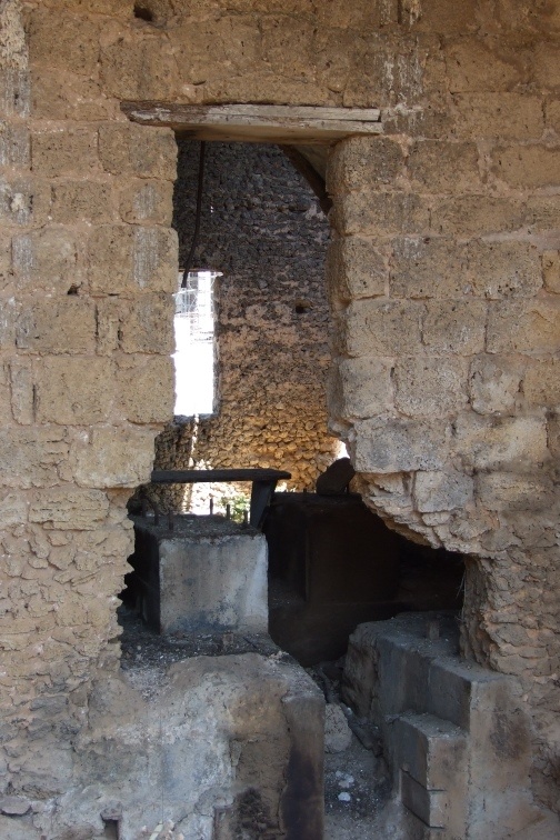
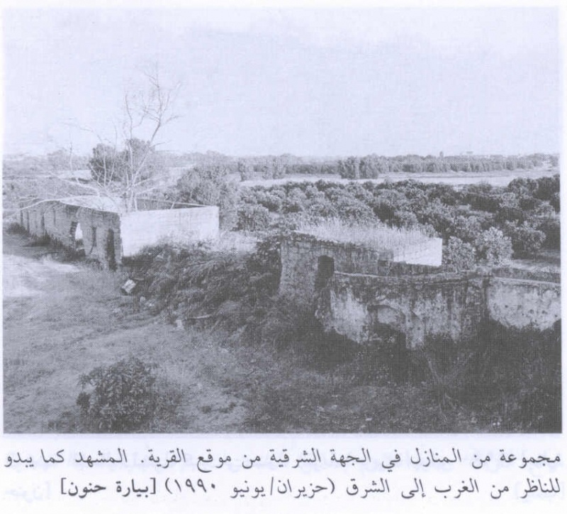
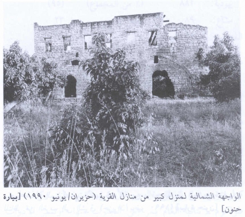
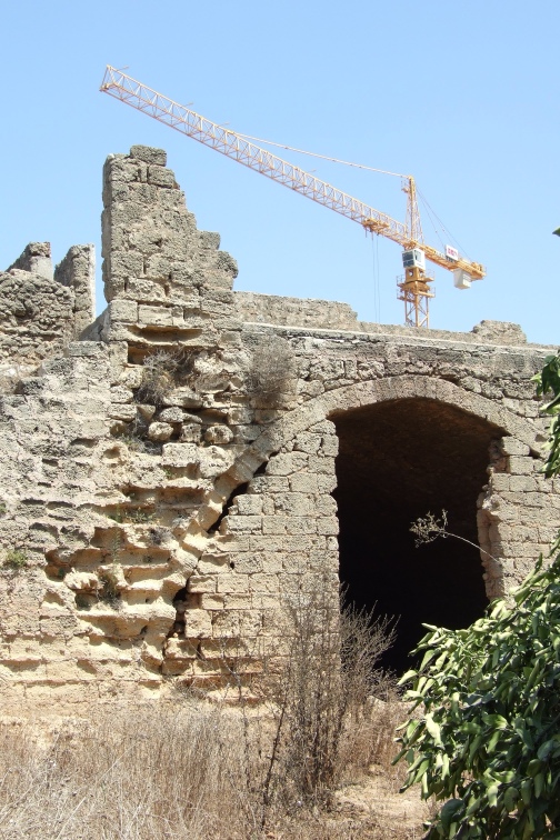
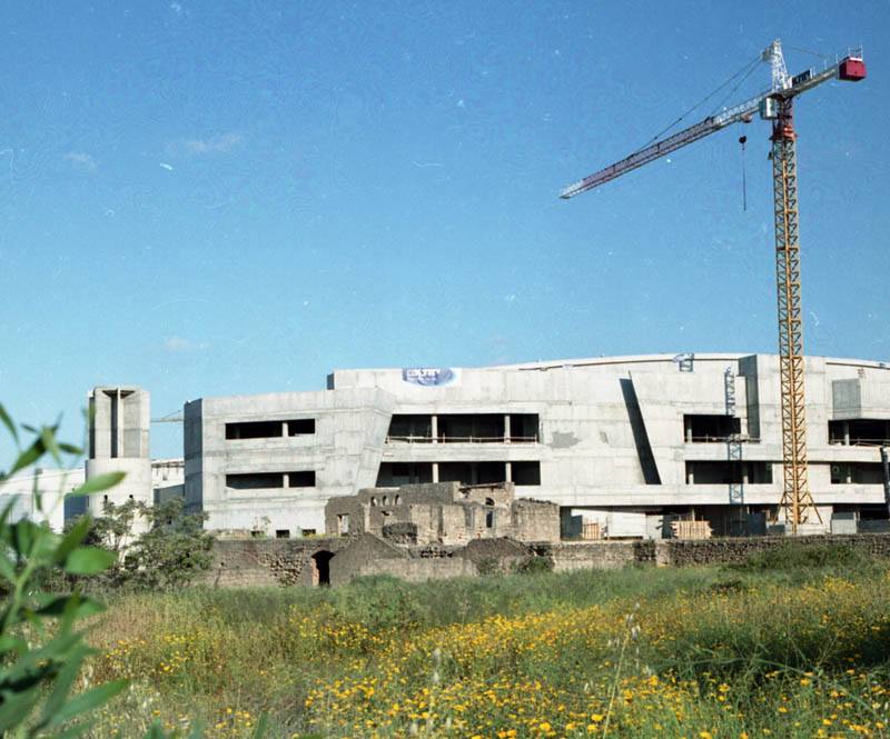
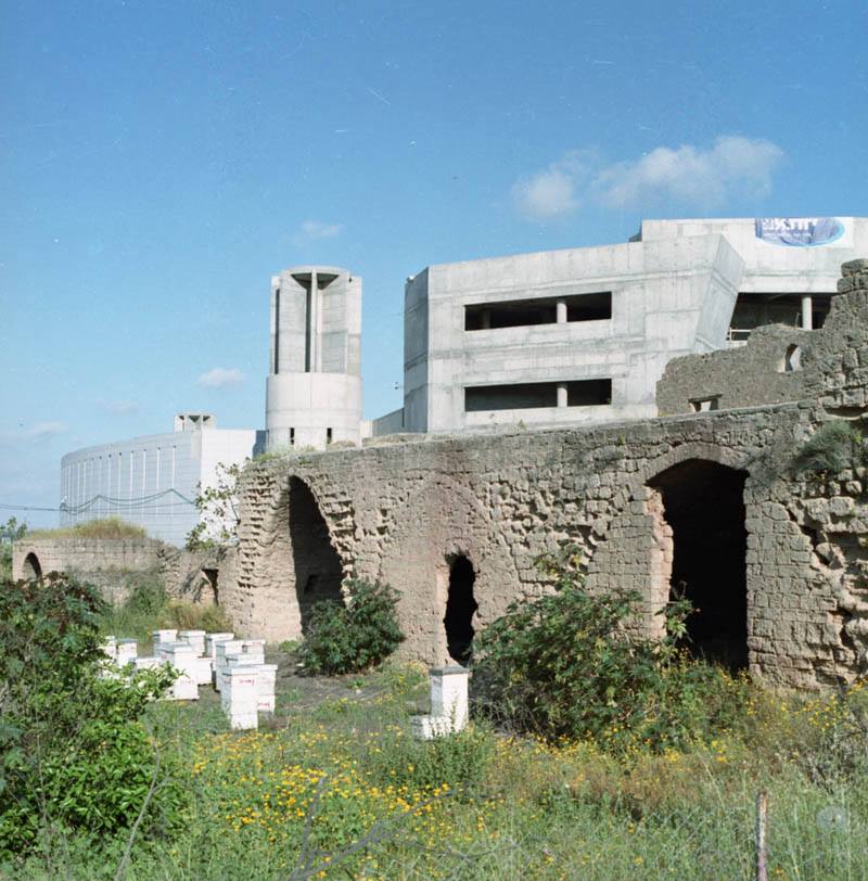
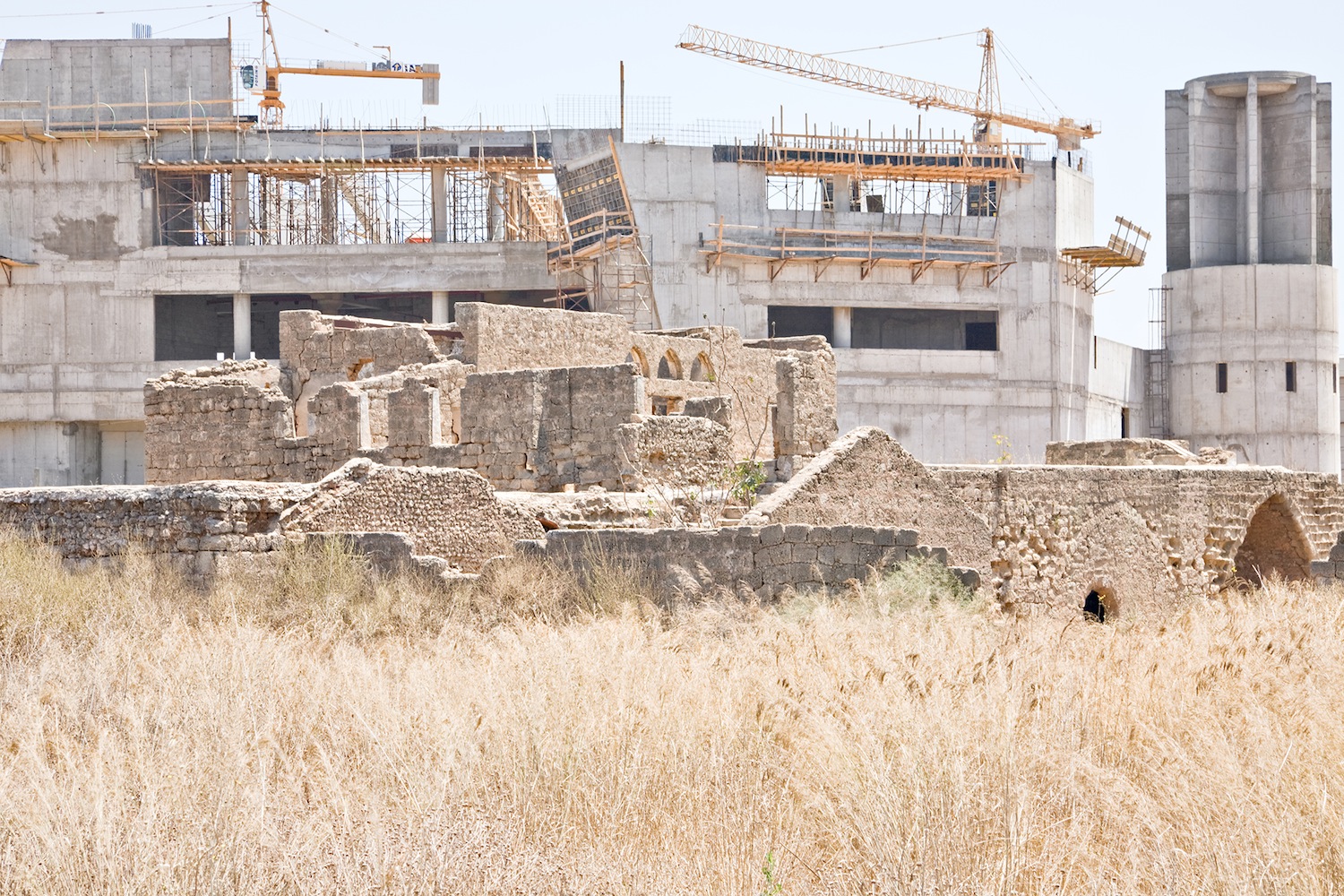
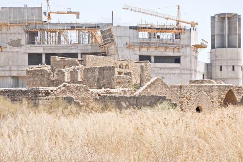
The Village Today:
One large, two-storey, deserted house still stands on the site with a large pond to the western side of the house and a wall that runs from the house to the west and the east. To the north and west the house is bordered by avocado orchards with citrus trees on the southern side. To the east lies the remnants of old village houses.
----------------------
Source: al-Khalidi, Walid (ed.). All that remains: the Palestinian villages occupied and depopulated by Israel in 1948. Washington DC: 1992.
Images