Info
District: Hebron
Population 1948: 1110
Occupation date: 23/10/1948
Occupying unit: Giva'ati
Background:
Zikrin Before 1948
The village of Zikrin was situated 27 km from Hebron, in the easternmost extension of the southern coastal plain, and near the western foothills of the Hebron Mountains. A secondary road passing through Kudna linked it to Bayt Jibrin, while another secondary road ran from Zikrin through the village of 'Ajjur to a highway that ran northeast from Bayt Jibrin and intersected the Jerusalem-Jaffa highway.
In the late nineteenth century, Zikrin was a village built of stone and surrounded by gardens, and its water supply came from several wells in the valley to the north. The inhabitants of modern Zikrin were Muslims, and their houses, built of stone, mud, and wood, were distributed along two roads leading to Bayt Jibrin and to Dayr al-Dubban. In addition to an elementary school and a number of small shops, the village also had several wells providing water for drinking, irrigation, and construction. As it was the custom, the villagers engaged in agriculture and animal husbandry. The land on the south and southeast sides served as pastures.
Occupation, Depopulation and Israeli Settlements
On 22-23 October 1948, Zikrin was occupied by the Israeli army's Giv'ati Brigade. A number of other villages in the area were taken as part of a push towards Hebron coordinated with Operation Yo'av. Benny Morris states that most of the population of the area had left prior to the occupation, and the rest were expelled.
In the last week of October, the acting United Nations mediator, Dr. Ralph Bunche, accused Israeli forces on the southern front to be operating with a 'prearranged plan' to permanently occupy the territory they moved into. The charges were nevertheless denied by Israeli chief of operations Col. Yigal Yadin on 27 October. He told the New York Times that every general staff has a plan for any eventuality, adding that if Dr. Bunche 'looked into American war plans he probably would discover a plan to capture Monaco.'
While there are no settlements on village lands, Beyt Nir was established in 1955 on the lands of Kudna, some 3 km south of the village site.
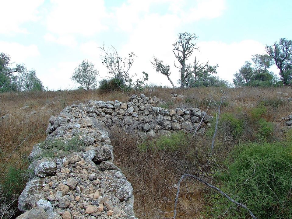
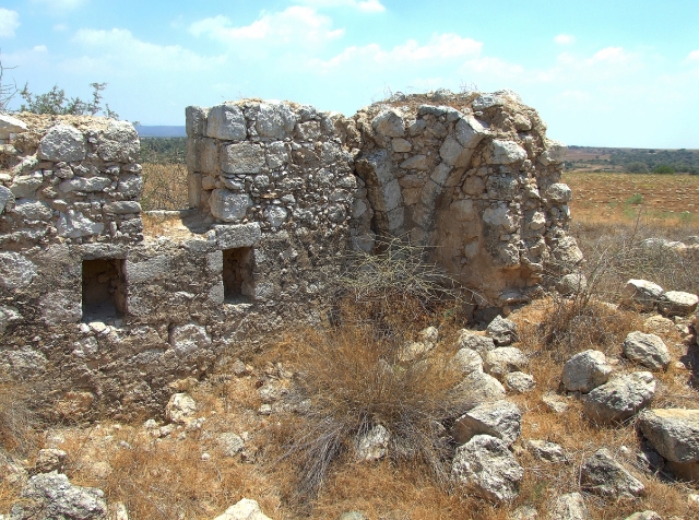
The Village Today
Overgrown with tall weeds, scrub, and other wild vegetation, the site contains a number of olive and carob trees, further marked by truncated stone terraces. Some of the surrounding lands are planted by Israeli farmers in wheat, and the rest is used as rangeland.
---------------------------------
Source: al-Khalidi, Walid (ed.). All that remains: the Palestinian villages occupied and depopulated by Israel in 1948. Washington DC: 1992.
Images