Info
District: Safed
Population 1948: 620
Occupation date: 10/05/1948
Occupying unit: Palmah 1st battalion
Jewish settlements on village/town land before 1948: None
Jewish settlements on village/town land after 1948: A part of Dalton
Background:
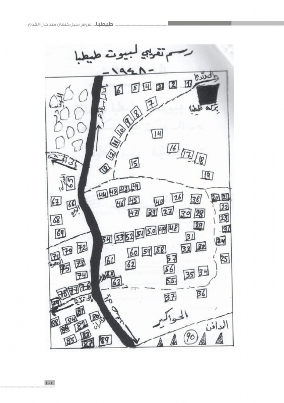
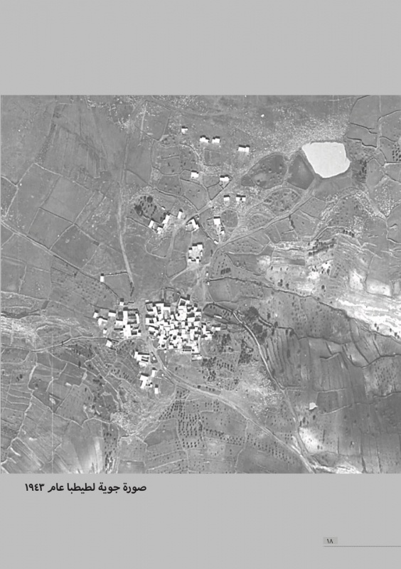
Taytaba Before 1948
The village was situated on rocky land at the crest of a volcanic hill, overlooking Wadi Taytaba (a tributary of Wadi Waqqas) to the southeast. It was linked by a network of secondary roads to surrounding villages as well as to a highway that led to Salad. In 1596, Taytaba was a village in the nahiya of Jira (liwa’ of Salad) with a population of 434. It paid taxes on goats and beehives.
In the late nineteenth century, Taytaba was a village built of stone with a population of 200. Its residents cultivated gardens on the west side of the village. In modern times the village houses were made of adobe brick and stone, and the entire population was Muslim. Taytaba had its own mosque in the southern part of the village as well as an elementary school for boys, built during the Mandate. Agriculture was the chief source of livelihood. In 1944/45 a total of 5,175 dunums was allocated to cereals and 585 dunums were irrigated or used for orchards. East of the village was the mound of al-Tasarif which contained fragments of an ancient tomb. North of the village was a field of dolmens.
Occupation and Depopulation
The earliest reported incidents at the village took place in February 1948. The New York Times reported that on 12 February, a British patrol had approached the village of Taytaba “known to be harboring armed Arab volunteers.” The Arab forces attacked, British reinforcements were sent, and the British troops fought their way out. No casualties were reported. But two days later, on 15 February, a Haganah raiding party (which had conmitted a massacre at nearby Sa’sa’) attacked Taytaba, according to a report filed by the Associated Press. No further details were given. It is difficult to determine when Taytaba was occupied. One possibility is that it was overrun in the later stages of Operation Yiftach (see Abil al-Qamh, Safad District), along with ‘Ammuqa and Qaridita, in May 1948. On the other hand, it may have held out until Operation Hiram (see ‘Arab al-Samniyya, Acre District) in late October. The first possibility is more likely, since the History of the Wa ro flndependence indicates that the front lines at the beginning of Hiram ran northwards from the village of Mirun to Qadas, which implies that they were located just to the west of Taytaba. In that case, the villagers may have left or have been expelled some time between the fall of Safad, on 11 May, and the end of Operation Yiftach, on 25 May.
Palestinian historian Nafez Nazzal states similarly that “almost all” the villagers of Taytaba fled at the beginning of May, due to the bloody events at ‘Ayn al-Zaytun (see ‘Ayn al-Zaytun, Safad District).
Israeli Settlements on Village Lands
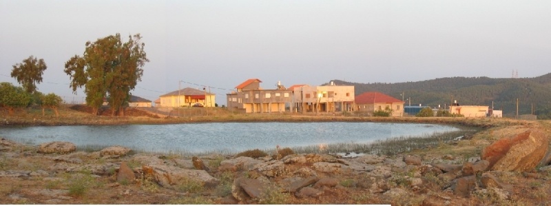
There are no Israeli settlements on village lands. The agricultural settlement of Dalton , established in 1950, is close by, to the east.
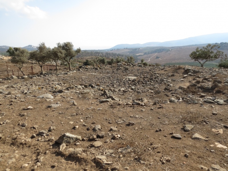
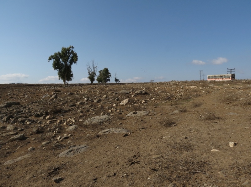
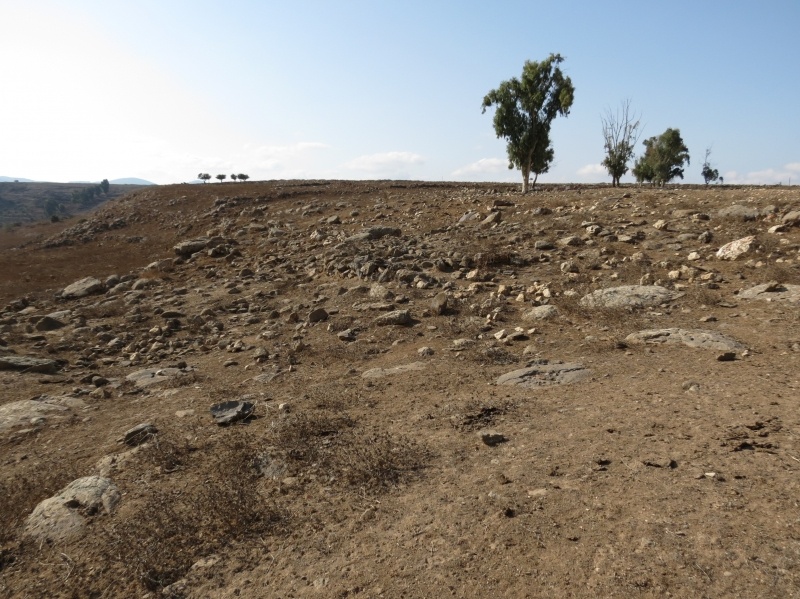
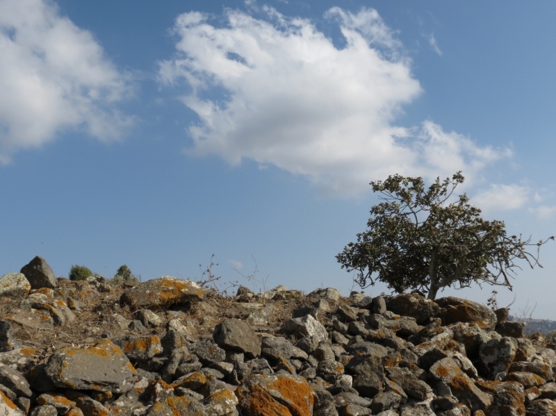
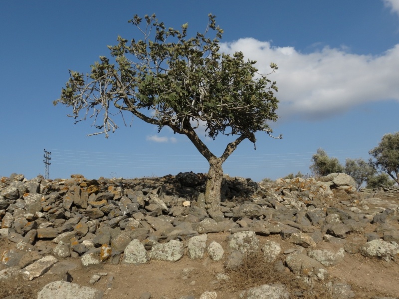
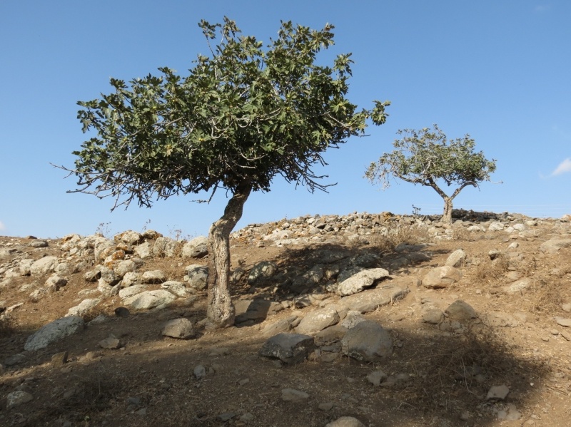
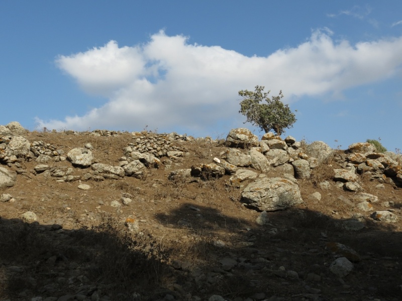
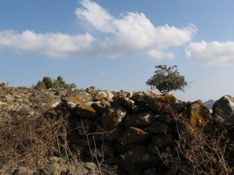
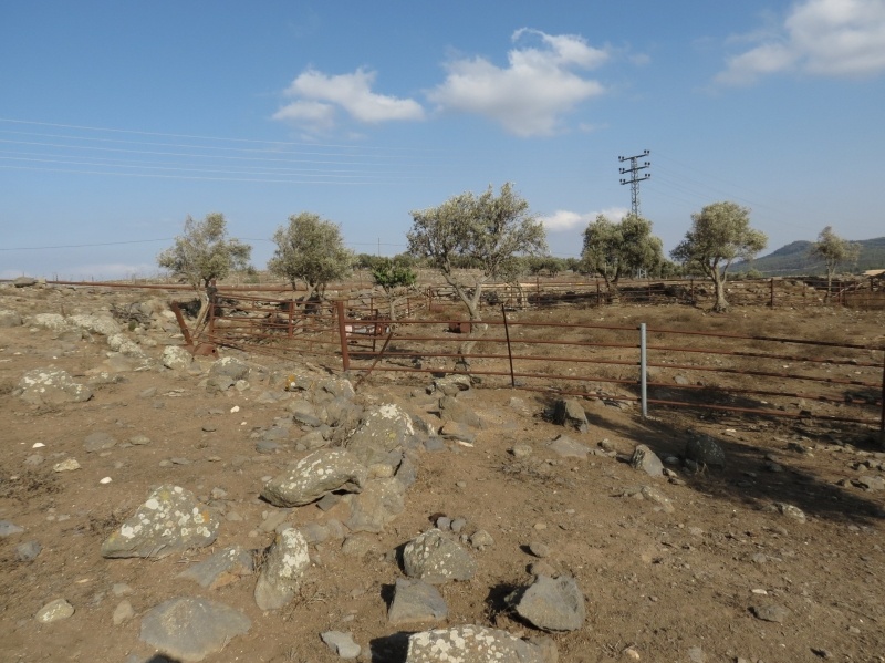
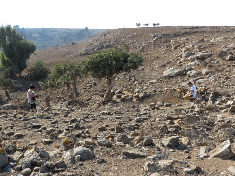
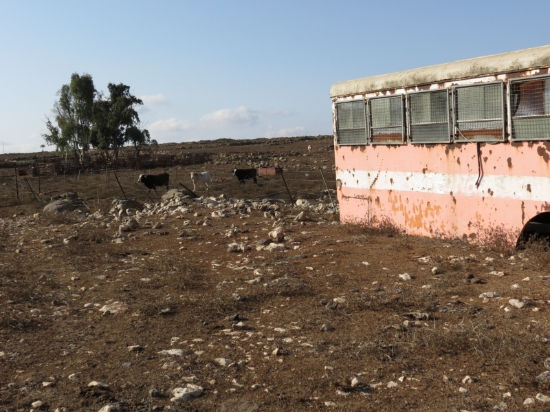
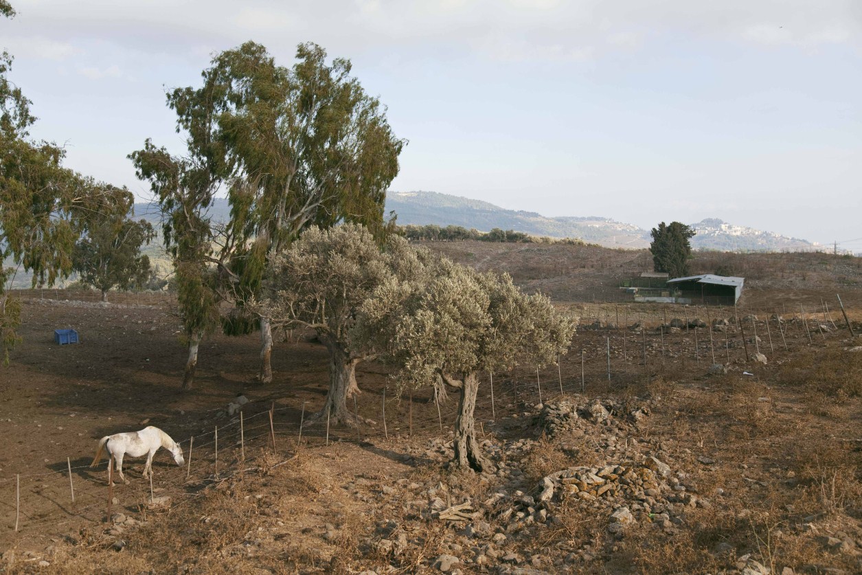
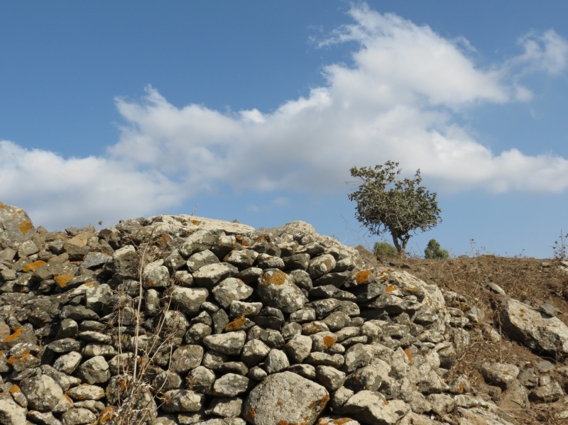
The Village Today
The village site contains the stone rubble of razed houses. A few olive trees still stand, growing among the thorny plants and grass. Part of the surrounding land is used by the settlement of Dalton for agriculture and pastures; other parts are wooded.
--------------------------
Source: al-Khalidi, Walid (ed.). All that remains: the Palestinian villages occupied and depopulated by Israel in 1948. Washington DC: 1992.
Images

Videos
Booklets
Others
Publications