Info
District: Safed
Occupation date: 01/05/1948
Jewish settlements on village/town land before 1948: None
Jewish settlements on village/town land after 1948: None
Background:
Khirbat al-Muntar Before 1948
The village was situated in a volcanic region that sloped gradually toward the al-Hula Plain to the north and that was drained by Wadi Shahyan. In 1840 the American traveler and biblical scholar Edward Robinson noted that al-Muntar was an encampment of Turkish and Kurdish nomads. He also saw settlements of Arab Bedouin there. Much of the land near Khirbat al-Muntar was purchased around the turn of the century by the Baron de Rothschild. The sett1ement of Machanayim was founded on this land in 1898, but it was not economically viable and was abandoned. This meant that the Arabs of Khirbat al-Muntar continued to work the land, even though they did not hold title to it, until at least 1939, when the settlement was reestablished. At that time Khirbat al-Muntar was a small village that the Mandate Palestine Indea Gazetteer classified as a hamlet.
Occupation and Depopulation
The first attacks on Khirbat al-Muntar may have taken place during Operation Yiftach, when the Yiftach Brigade invaded eastern Galilee (see Abil al-Qamh, Salad District). The brigade’s orders were “to destroy all bridges along roads approaching Palestine from Lebanon and from Syria.. .“ and concentrate its forces “in the Rosh Pinah-Ayelet Hashahar area.. . .“ Khirbat al-Muntar lay between Rosh Pinah and the bridge of Banat Ya’qub, on the Jordan.
After attacking Syrian positions along the Jordan River, the Yiftach Brigade was withdrawn, in early June 1948. Syrian troops crossed the river on 10 June and captured the settlement of Mishniar ha-Yarden. On the following day the Syrians advanced westwards into “the positions around Machanayim,” that is, close to Khirbat al-Muntar, but were stopped by units of the ‘Oded Brigade. The front between the Syrian and Israeli troops, which must have been very close to Khirbat al-Muntar, remained stable throughout the first truce, which in this area took effect on 11 June and lasted until 9 July 1948. After this the ‘Oded and Carmeli brigades made renewed efforts to push east to Mishmar ha-Yarden but failed. Like the village of Yarda , only 8 km to the north, Khirbat al-Muntar later fell on the periphery of the Demilitarized Zone (DMZ) between Syria and Israel after the July 1949 Armistice Agreement. This agreement was actually signed near the site of Khirbat al-Muntar, in a tent close to the Israeli settlement of Machanayim, on 20 July 1949. If Khirbat al-Muntar remained inhabited at that point, it is likely that the villagers suffered the same fate as those in villages that fell squarely within the DMZ. Israeli historian Benny Morris relates that the latter were driven out by the Israeli authorities between 1949 and 1956, by means of direct and indirect pressures (see Kirad al-Baqqara, Salad District).
Israeli Settlements on Village Lands
There are no Israeli settlements on village land. Machanayim, re-established in 1939 after a series of failed settlement attempts, is about 1 km northwest of the site.
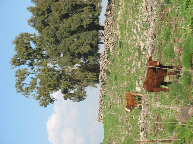
The Village Today
The site is covered with stone rubble, grass, thorns, and a few cypress trees. There is a cow shed near the site. The cemetery is now used by the Bedouin of the nearby village of Tuba. Some of the surrounding land is used for grazing.
--------------------------------
Source: al-Khalidi, Walid (ed.). All that remains: the Palestinian villages occupied and depopulated by Israel in 1948. Washington DC: 1992.
Images