Info
District: Haifa
Population 1948: 280
Occupation date: 01/05/1948
Jewish settlements on village/town land before 1948: None
Jewish settlements on village/town land after 1948: Part of Ein HaEmek
Background:
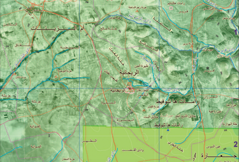
Al-Rihaniyya Before 1948
The village stood on a hilltop in a generally hilly area, at 25 km distance from Haifa. The village's name derived from rihan, Arabic for 'sweet basil', a cultivated herb used in Mediterranean cuisine. Al-Rihaniyya had a mosque and a boys' elementary school, established around 1887 during Ottoman rule and closed during the Mandate. There were numerous springs along the wadi which bounded the village on the north and west, used as water sources. Agriculture and animal husbandry dominated the village's economy, and its most important crops were grain and fruit. Khirbat Furayr, which has been identified as an archeological site, lay about 1,5 km northwest of the village; it has not yet been dated.
Occupation, Depopulation, and Israeli Settlements
The village was reportedly one of the last to be occupied in the aftermath of the battle of Mishmar ha-'Emeq. The New York Times reported that al-Rihaniyya was occupied along with Daliyat al-Rawha' and al-Butaymat on 14 April. By that time, the Arab Liberation Army forces in the vicinity had been routed and some ten other villages had also been overrun, according to the Times correspondent. However, al-Rihaniyya may not have been securely under Haganah control for a couple of weeks, since the villages to the north and west of it were captured at the end of April following the fall of Haifa. Some Haganah units were ordered to 'secure' the approaches to the city in the context of Operation Bi'ur Chametz ('Passover Clearing'), the offensive launched to secure the hinterland of Haifa after the fall of that city.
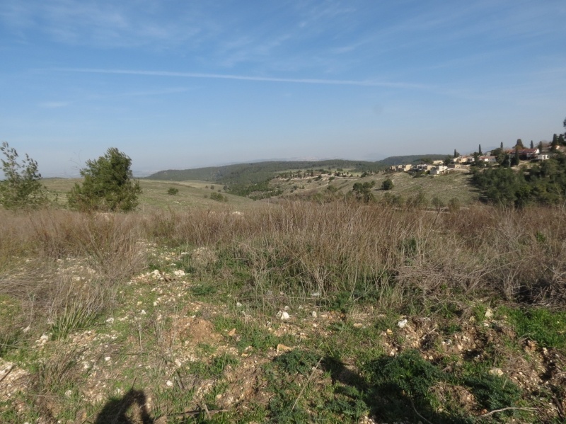
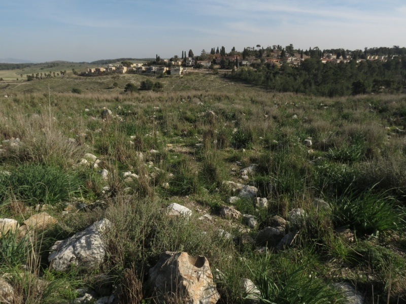
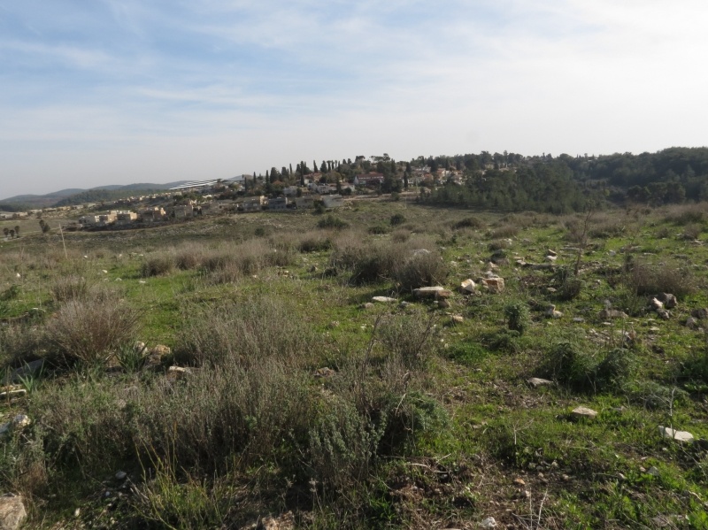
The settlements of Ramat ha-Shofet, established in 1941, and 'En ha-'Emeq, built in 1944, occupy an arc of land that partially encircled the village on the north, east, and south. At the time of their construction they were not on village lands but were only about 0.5 km away from the village site. Currently their inhabitants make use of village land.
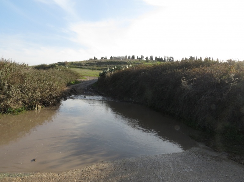
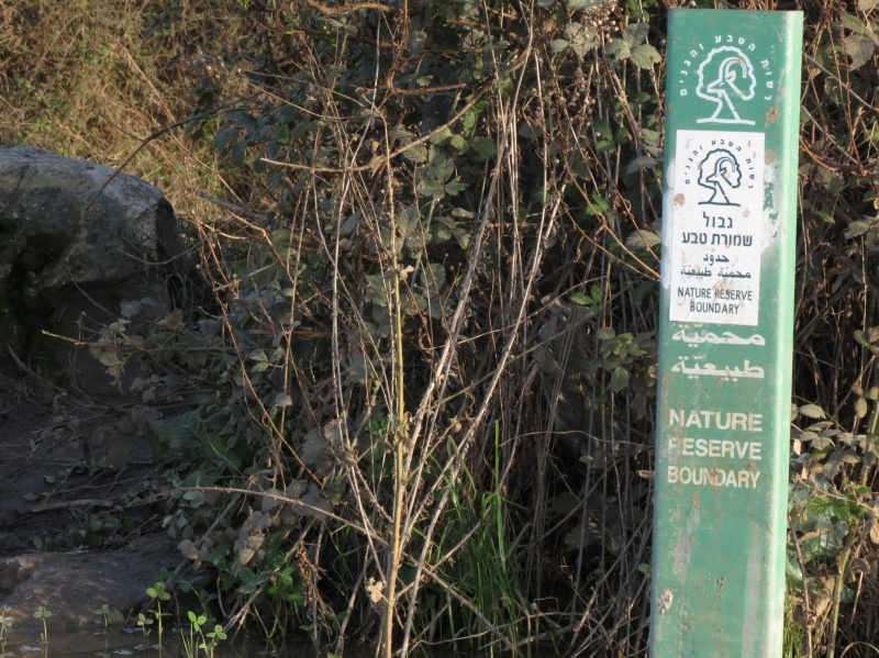
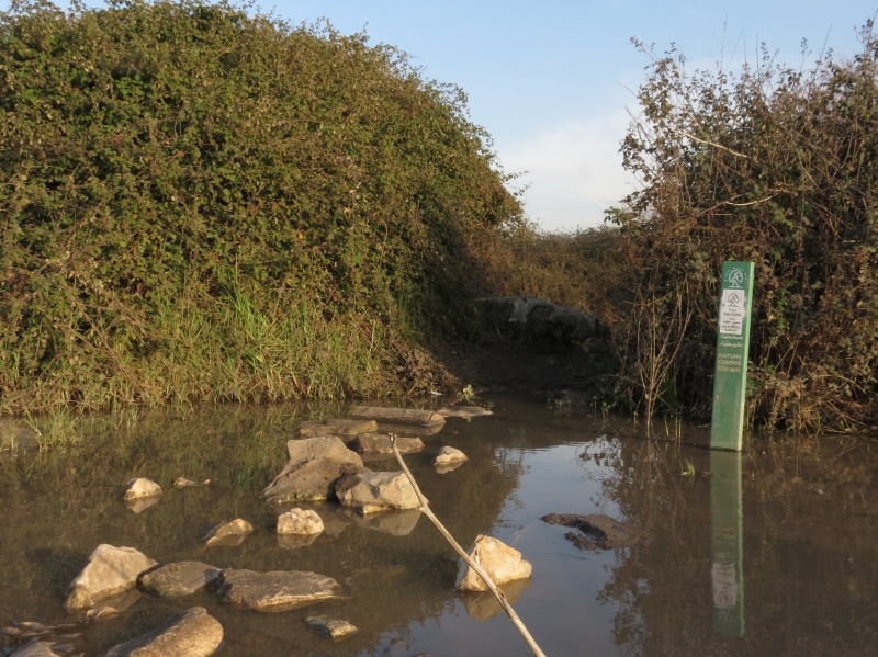
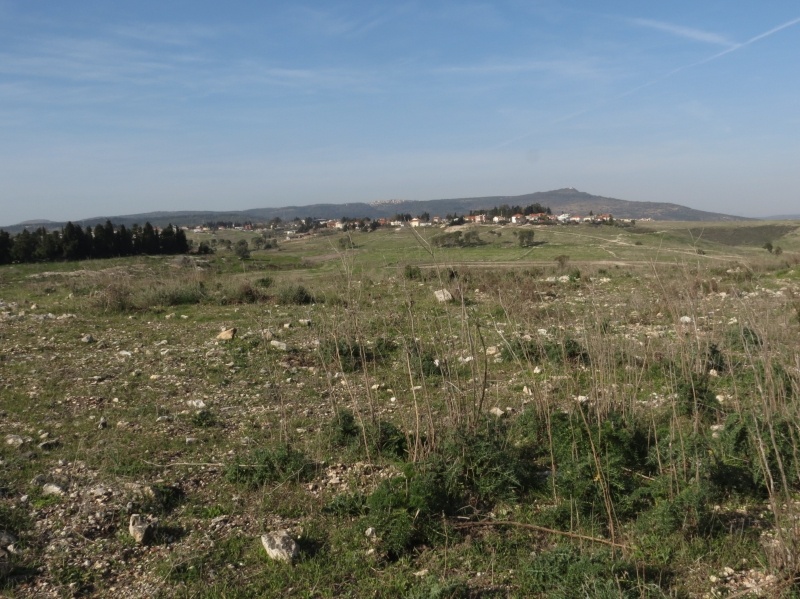
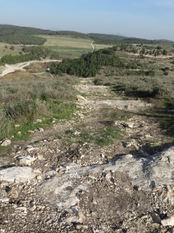
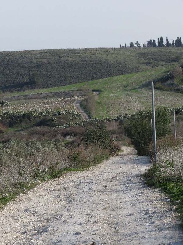
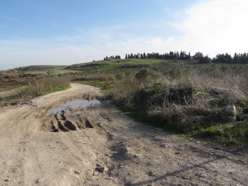
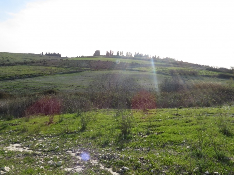
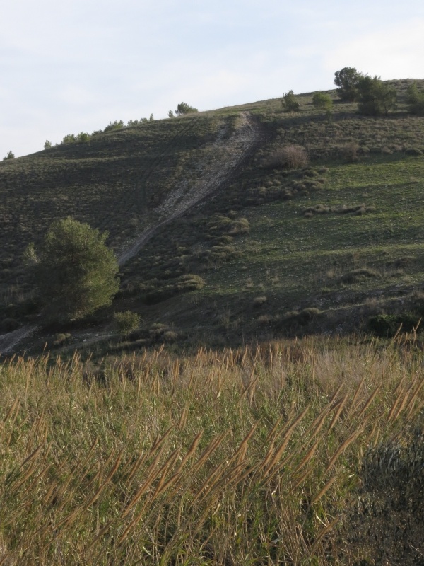
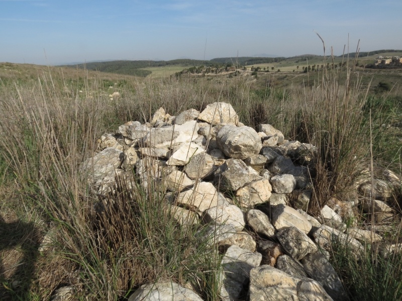
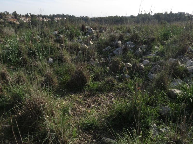
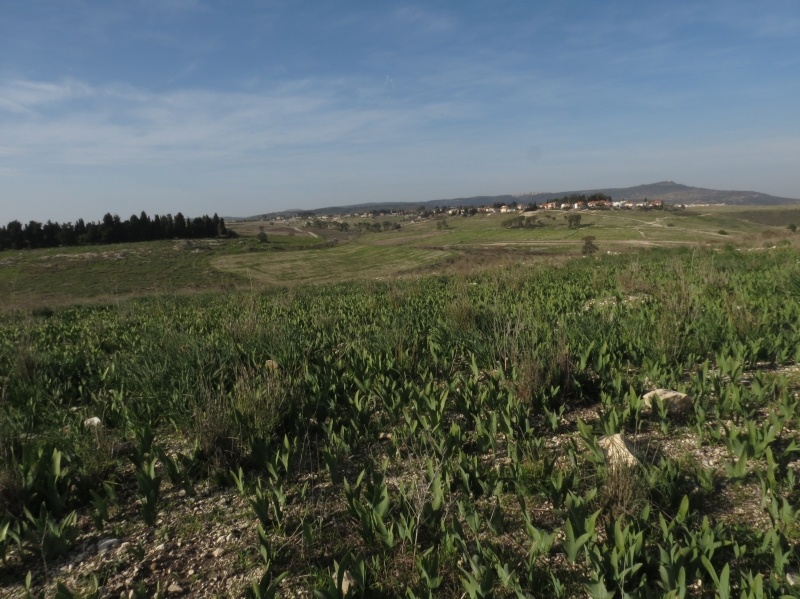
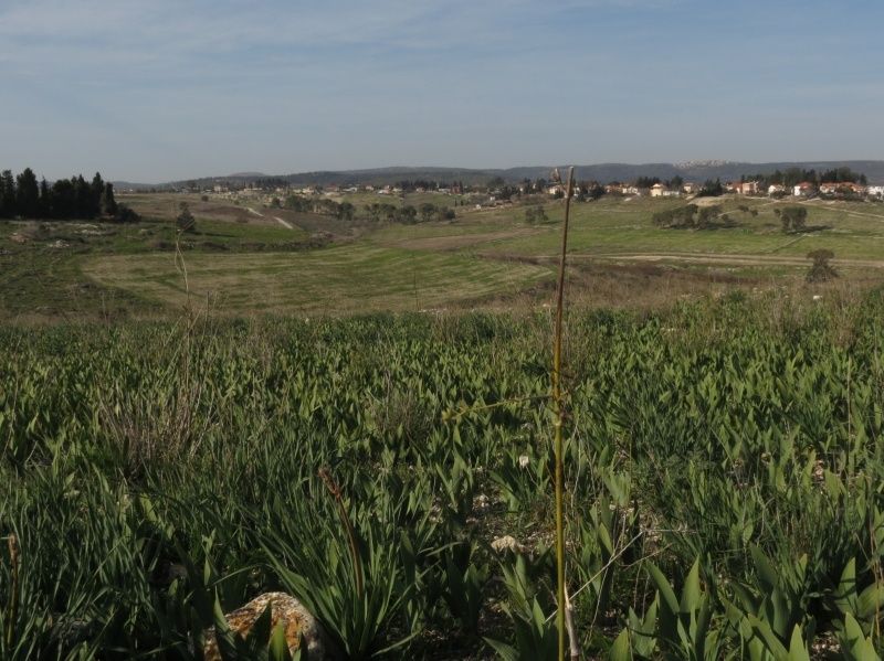
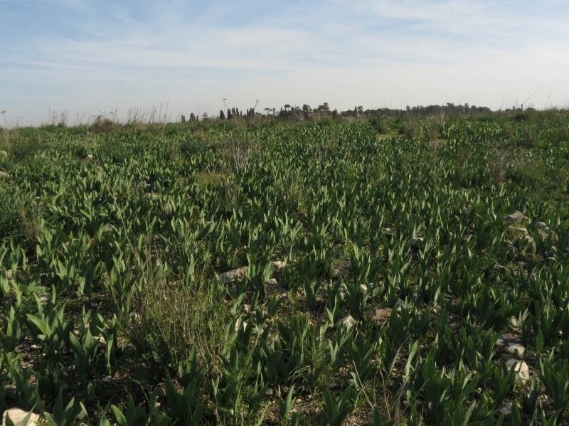
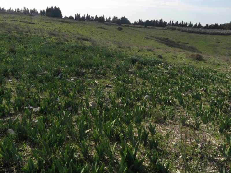
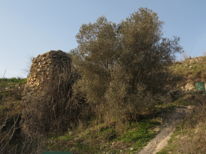
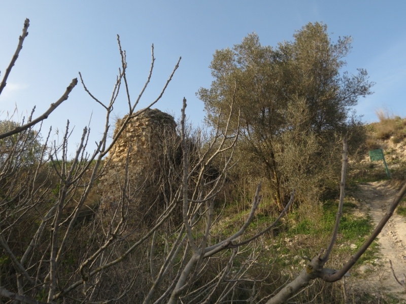
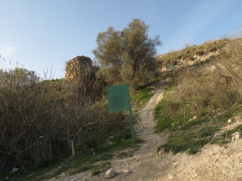
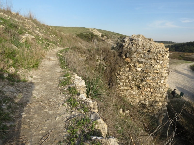
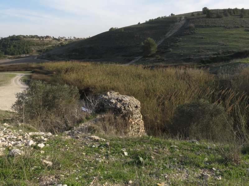
The Village Today
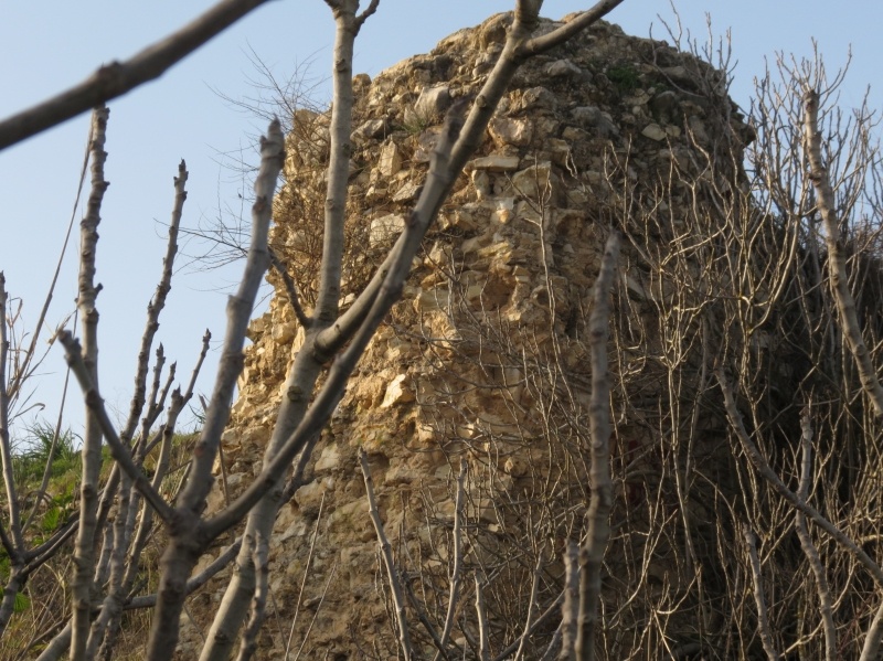
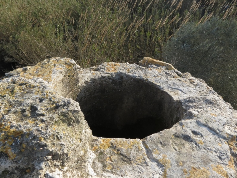
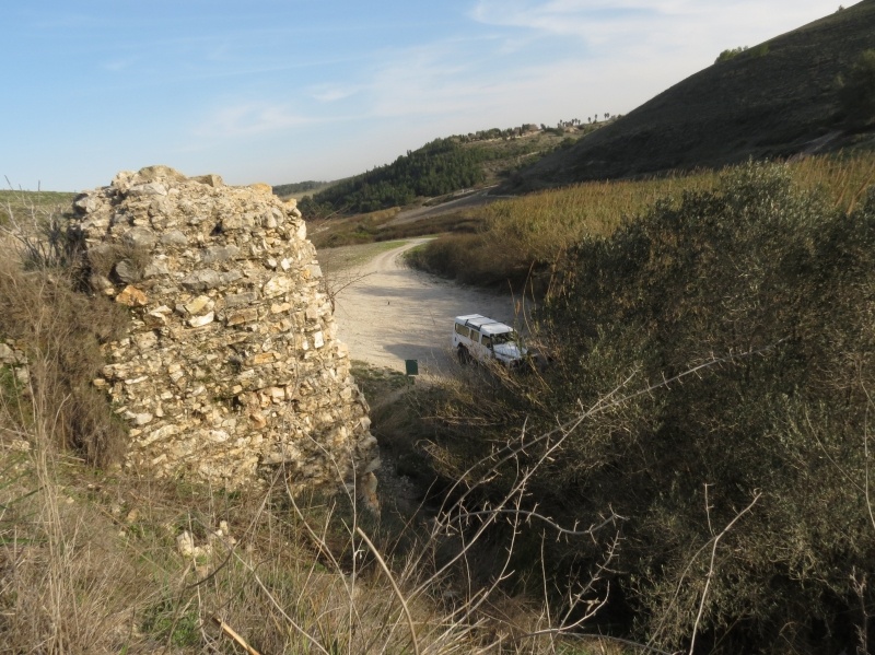
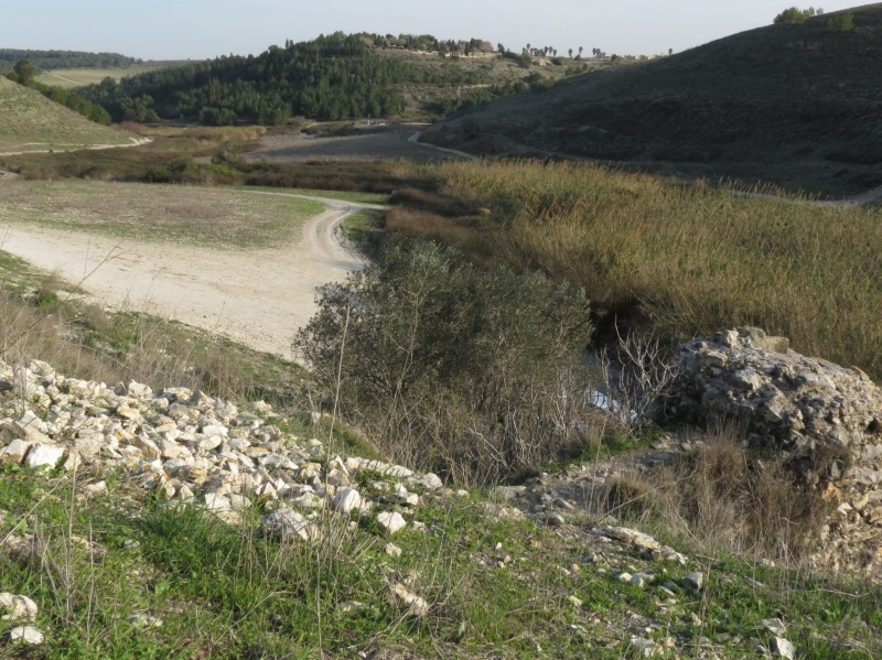
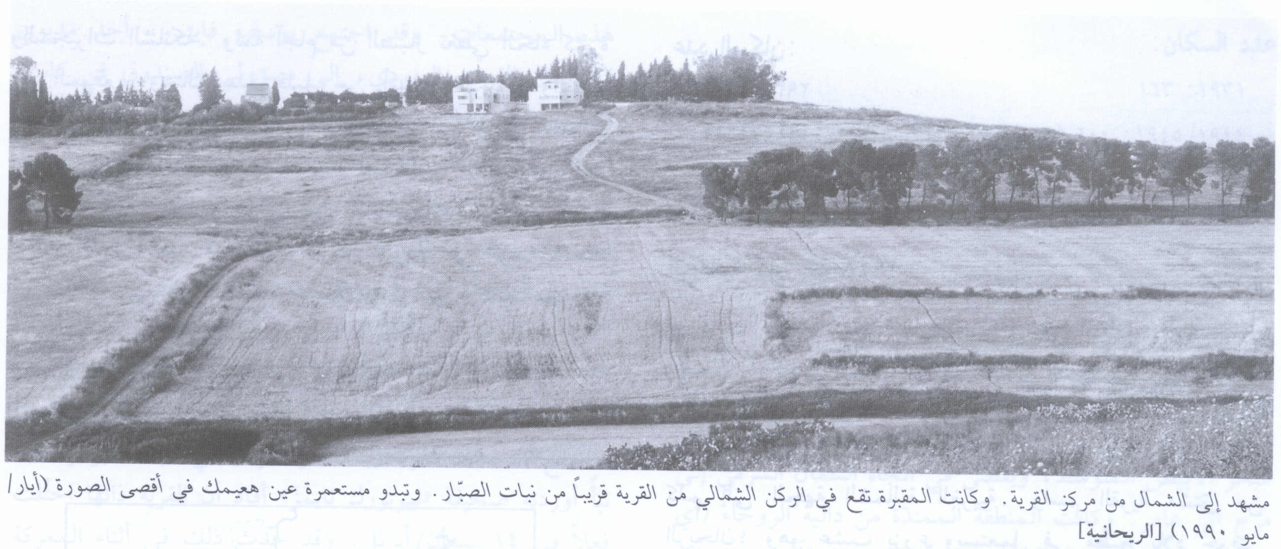
The rubble of the houses lies in piles that are covered with dirt, bushes, and thorns. The village cemetery (now covered with cactuses) and a well are visible at the bottom of a hill north of the site. Large sections of the adjacent land are used for agriculture; to the south there is an avocado orchard.
------------------
Source: al-Khalidi, Walid (ed.). All that remains: the Palestinian villages occupied and depopulated by Israel in 1948. Washington DC: 1992.
Images


Videos
Booklets
Others
Publications