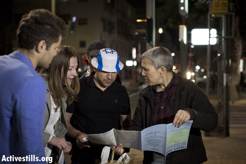
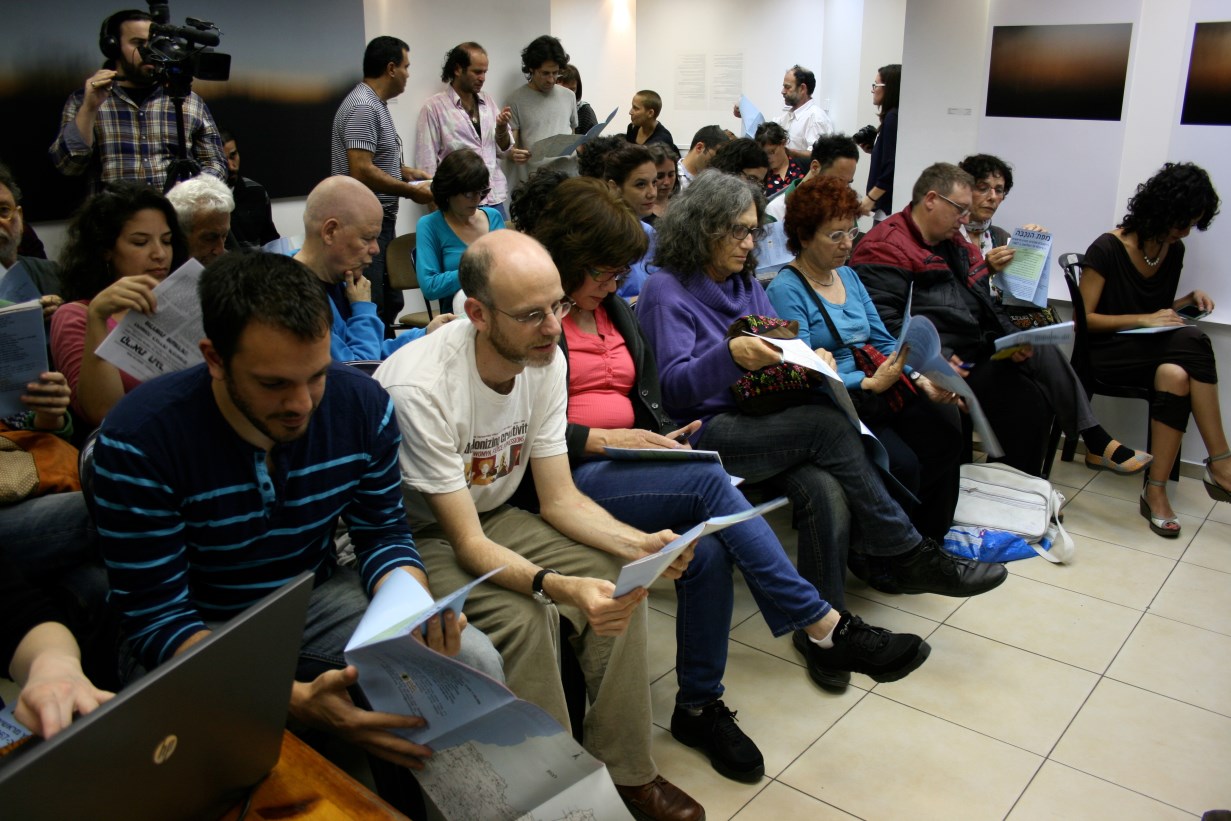
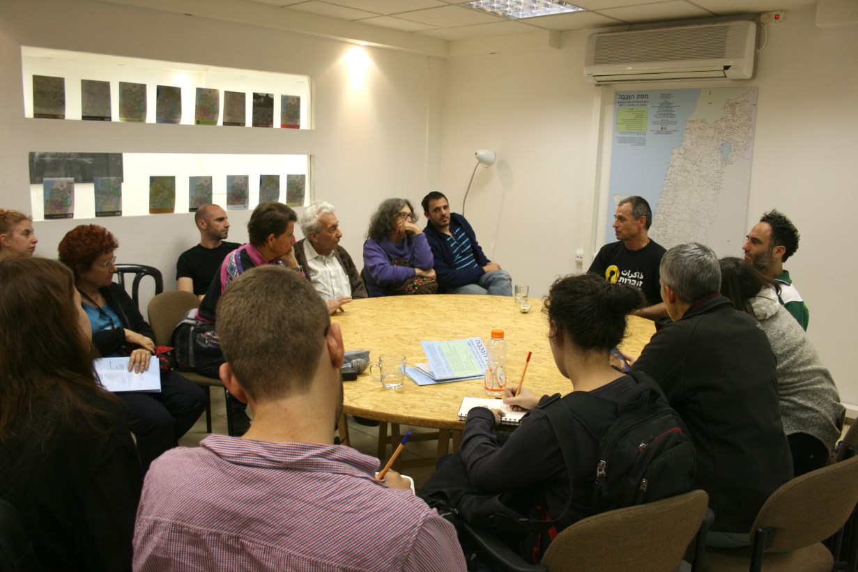
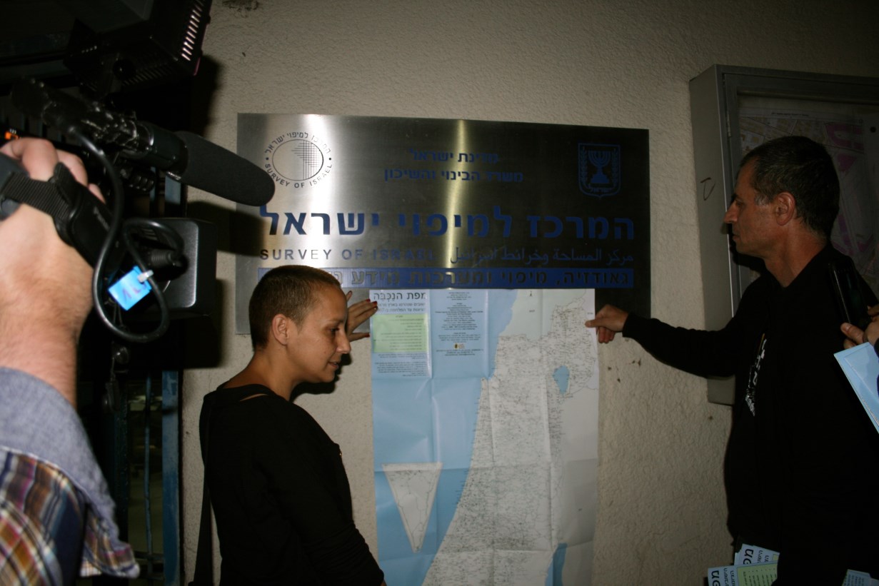
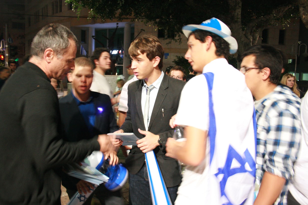
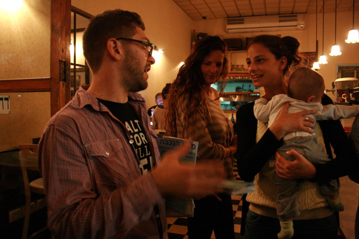
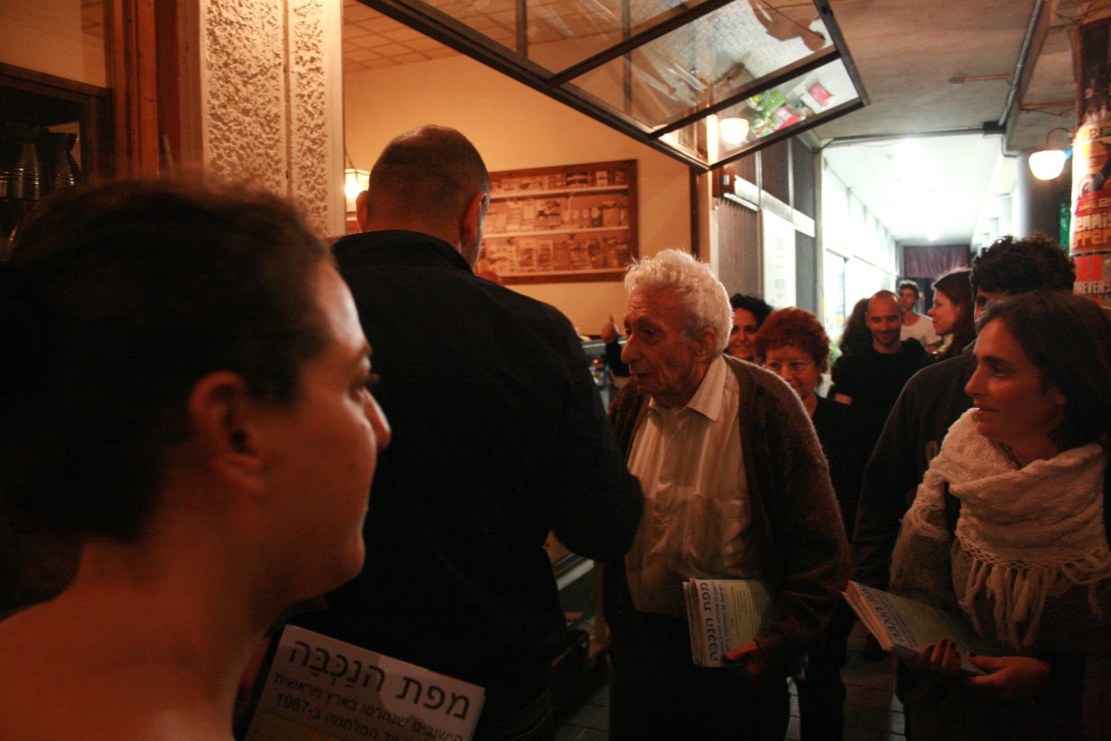
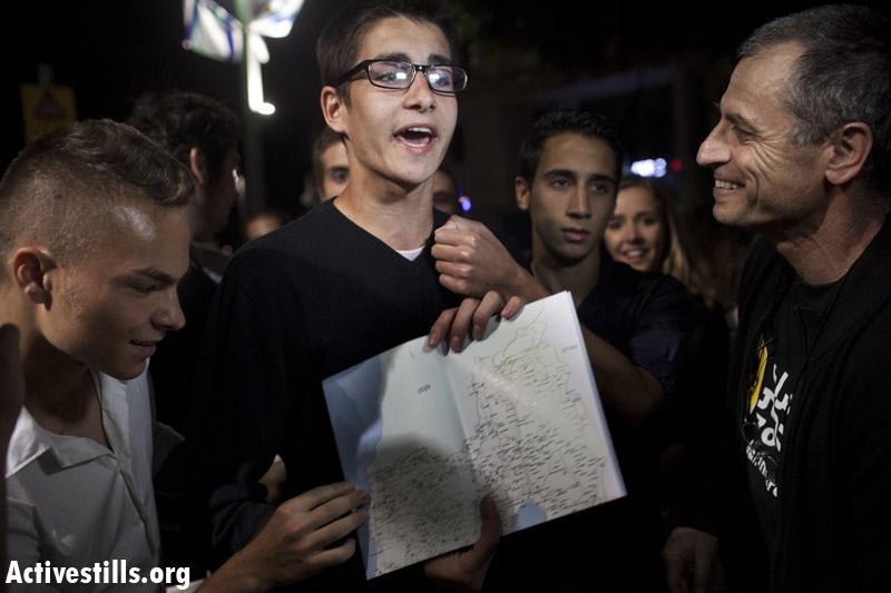
Israeli Independence Eve, 15.4.13. Fifty people are present.
Eitan Bornstein Aparicio:
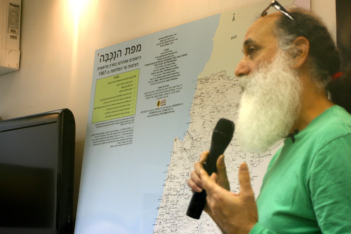
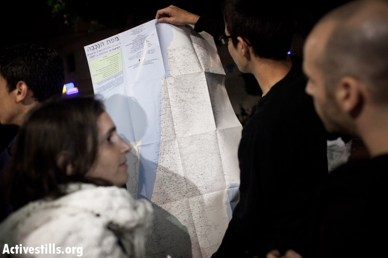
I’m both pleased and excited this evening to unveil the first map of the Nakba in Hebrew. Following my introduction we’ll hear responses from Tami Berger and Hana Farah Kfar Bir’im. This Israel Social TV is ducomenting this evening (no subtitles in English).
We decided not to include an introduction or explanation on the map itself. It has a Legend with an excellent explanation of what it shows. But we did include, at the top, two quotations which were our primary inspiration in creating the map:
“We should there [Palestine] form a portion of a rampart of Europe against Asia, an outpost of civilization as opposed to barbarism.
”Theodore Herzl, The Jewish State [ 1896.]
“The face of the angel of history is turned toward the past. Where we perceived a chain of events, he sees a single catastrophe which keeps piling wreckage ... A storm is blowing from Paradise; it has got caught in his wings with such violence…. This storm irresistibly propels him into the future to which his back is turned, while the pile of debris before him grows skyward. The storm is what we call progress.”
Walter Benjamin (1892 - 1940), Theses on the Philosophy of History, 1940.
I think the connection between Herzl’s promise to erect a European rampart against Asian barbarism and Benjamin’s view of history as a heap of ruins piled high captures very well what this map shows: massive destruction of the country’s localities during the past 130 years.
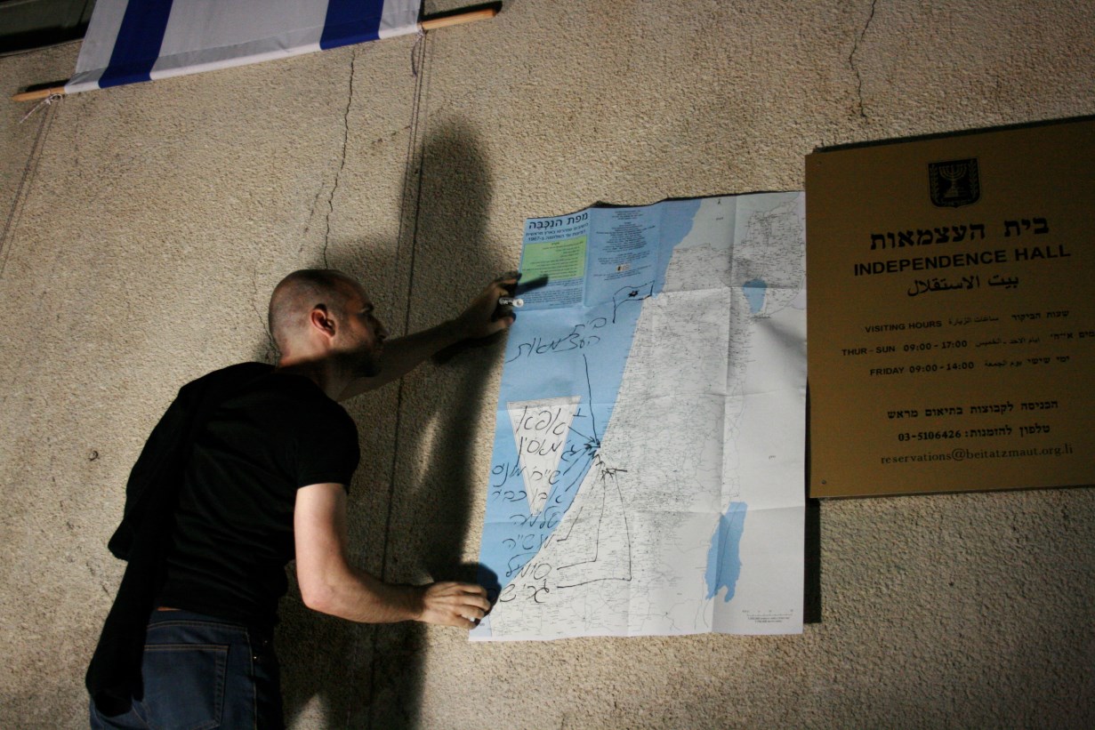
The map has two layers. One, the background, is pale – the map of the country’s localities today. All the localities are there, including those in the Gaza Strip and on the West Bank. The destroyed localities are marked against that background, according to the categories in the Legend:
678 Palestinian localities destroyed by Israel during the Nakba: 220 of them had fewer than 100 inhabitants; 428 had between 100 and 3,000; 30 towns and cities had more than 3,000 Palestinian inhabitants.
22 Jewish localities that were destroyed in 1948; some were rebuilt that same year.
14 existing Palestinian localities whose inhabitants were expelled during the Nakba, in part or temporarily.
62 Palesinian localities destroyed during Zionist colonization prior to 1948.3 Jewish localities destroyed prior to 1948 and not reestablished.
3 Palestinian localities destroyed by Israel in the 1967 war.127 Syrian localities on the Golan Heights destroyed by Israel in the 1967 war.
I had two main partners in preparing the map: Noga Kadman, whose meticulousness and the expertise she gained while undertaking the research for her book, Erased from Space and Consciousness, were important sources for the map; Ali Abu Riyya did the mapping after having already published different nakba maps in Arabic. Ali worked day and night like a madman, preparing more than 20 drafts until the final version was ready.
Most of the information in the map already existed. It contains very little that’s completely new. Its principal innovation is the design, which shows all the localities in the country that were destroyed between the beginning of Zionist settlement and the 1967 war. No such map exists, either in Hebrew or any other language. The localities shown on the map were destroyed as a direct result of the Zionist-Palestinian conflict. Other localities that were destroyed under other circumstances are not shown (for example, the Templar localities and small Jewish localities dating from the start of Zionist colonization which failed to establish themselves).
As you know, most of the destruction occurred in 1948, during the Nakba, when Israel destroyed 678 Palestinian localities. 220 of them were small, with fewer than 100 inhabitants. We put those localities together in one category so as not to give a misleading impression that they were of average size. 428 localities had between 100 and 3,000 inhabitants. That list is similar to the one presented by Walid Khalidi in All That Remains. The category of large localities, those having more than 3,000 inhabitants, comprises thirty cities and towns, including the large cities of Yafa and Haifa, which were destroyed as Palestinian cities even though most of their buildings were not demolished. To indicate cases where the locality still exists – Yafa, for example - we marked them with a red circle denoting a destroyed Palestinian locality that is almost coextensive with, for example, Jaffa today, which is marked by a grey square. All the places in Israel where an existing locality has been established on the core of a former Palestinian locality, such as Sasa/Sasa, are marked by two almost-overlapping circles.
Twenty-two Jewish localities were destroyed in 1948; they’re also shown on the map. It may not be immediately self-evident why an organization like ours, like Zochrot, decided to include them. There could be various reasons, but in fact those localities were destroyed as a result of the conflict that got underway in the country with the beginning of Zionist settlement, so it’s important for them to appear on the map. Five were rebuilt in the same year and were intended from the start to be part of the Jewish state. Kibbutz Gezer, for example, was captured by Jordanian forces but was recaptured the same day by the IDF and later rebuilt. Massada and Sha’ar Hagolan were captured and completely destroyed by the Syrians and recaptured by the IDF. That information appears in a special table on the reverse side of the map.
There are those who make the point that every Jewish locality captured by the Arabs in 1948 was completely demolished. That’s true, but we should remember that most of those localities were in areas the Partition Plan had allotted to the Arab state. Moreover, not one of the 22 Jewish localities demolished in 1948 had been captured by Palestinians. All had been captured by the various Arab armies. Palestinians participated in looting some of them after their fall.
An additional category of locality on this map, which represents an innovation of ours, is that of Palestinian localities still existing today whose inhabitants were expelled, in part or temporarily, in 1948: Rame, Deir Al Assad and Bueina, Tashiha, Jish, Eilabun, Sheikh Danun, Aqbara, Tuba-Zangariyya, Kafr Yasif, Nahaf, Illut, Sha’ab. A separate table on the reverse side of the map provides information about them.
Sheikh Danun, for example – its inhabitants were expelled to Lebanon, and since the nakba its buildings have been inhabited by refugees from Ghabasiyya and other destroyed villages. Something similar occurred in Sha’ab and Aqbara. These three villages could be included either in the category of destroyed localities or of those whose inhabitants were expelled in part or temporarily. We decided, somewhat arbitrarily, to include them in the latter group. The case of Eilabun is better known. All the inhabitants were expelled after the massacre there; one month later they were all permitted to return from Lebanon.
It’s interesting to discover that many people, including Palestinians in Israel, aren’t aware of these cases. I assume that only a negligible number of Jews know these stories about 1948. That’s why it was particularly important to include them on the map.
That’s what occurred in 1948, the year of the nakba, the year in which most of the localities destroyed since the beginning of Zionist settlement met their fate. But the destruction of localities started before the nakba and continued, in fact, until today.
We marked on the map 62 localities of Palestinian tenant farmers dispossessed since the start of Zionist colonization. Umlabes, today Petah Tiqwa, may have been the first. Wikipedia contains pretty detailed information about Umm Labas and the purchase of land by Jews, but doesn’t specify that tenants were dispossessed after the purchase. We found that information in Ari Avnery’s book, HaHityashvut HaYehudit VeTa’anat HaNishul [Jewish Settlement and the Claim of Dispossession].
We searched for information about Jewish localities destroyed before 1948. Wikipedia in Hebrew has hundreds, but it turns out that information isn’t accurate, to say the least. We decided to include only localities destroyed and not rebuilt before 1948, like the localities of the Palestinian tenant farmers destroyed before 1948. Perhaps the best known is the Jewish settlement in Hebron which was mostly demolished after the 1929 massacre. Jews returned to the town and remained until the violent events of 1936. And even later there is testimony to the fact that one Jewish family, non-Zionists, lived in the town until 1948. The British evacuated the Yemenite Kfar HaShiloah settlement in Jerusalem and the Jewish population of Gaza after they had been attacked in 1929 and 1938. Some might ask about Tel Hai, which was captured and destroyed in 1920. It’s not on the map because it was rebuilt a few months later. Not many years afterwards its residents decided to leave and move to Kfar Giladi.
During the 1967 war Israel captured and demolished the three Latrun villages: Imwas, Beit Nuba and Yalu. Zochrot essentially was born in that area, with the idea of adding a missing sign to Park Canada that had been established by the Keren Kayemet LeYisrael. The park’s signs referred to the region’s various histories but ignored the three Palestinian villages whose remains were obvious on the ground. The table on the reverse side of the map notes that a KKL sign now refers to those villages in the wake of the case Zochrot brought before the Supreme Court.
In addition to these three villages, Israel carried out additional destruction in the West Bank in the 1967 war, but information about it is contradictory. In any case, it seems that additional localities were not entirely destroyed, and most of what was destroyed was rebuilt.
Various tables are printed on the reverse side of the map with additional information about the localities that appear on the map: the Palestinian localities destroyed by Israel during the Nakba; tourist sites and hiking trails on the ruins of Palestinian localities destroyed during the Nakba; Palestinian localities destroyed by Israel in the 1967 war; Jewish localities destroyed and not rebuilt before 1948; existing Palestinian localities whose inhabitants were expelled in part or temporarily in 1948; Jewish localities destroyed in 1948 (some were rebuilt in the same year); localities of Palestinian tenant farmers destroyed during the Zionist colonization of the country before 1948; information about some of the Syrian localities on the Golan Heights Israel destroyed in 1967.
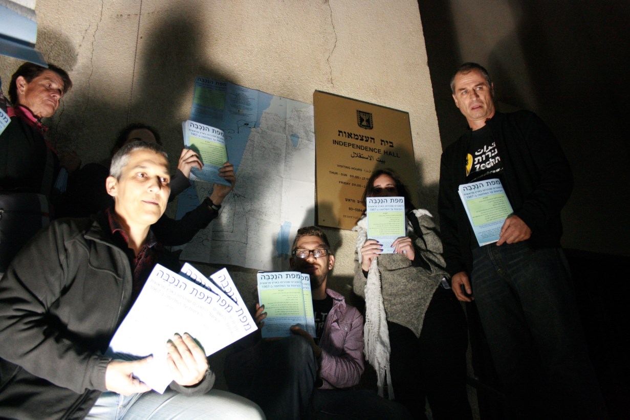
A high-resolution version of the map is available on our web site and a printed version can be ordered by mail.
Question from the audience:
The destroyed village of Hama on the southern Golan Heights is identified as Palestinian. Isn’t it Syrian?
Eitan:
Yes, Ali identified it as Palestinian; Noga and I wondered about it. Ali showed us the 1923 map placing Hama in British Mandate territory, in Palestine. The village of Taufiq on the eastern shore of the Kinneret was also Palestinian.
Question:
What about the localities destroyed during the 1970’s?
Eitan:
The map portrays the situation up to 1967.
Efrat Even-Tsur:
How do you handle the expulsions during the early 1950’s?
Eitan:
Yes – you mean Majdal, Zakariyya and others. Those later expulsions are considered to be part of the Nakba. Benny Morris calls them “the fourth wave.” We marked them in red, like the other nakba localities.
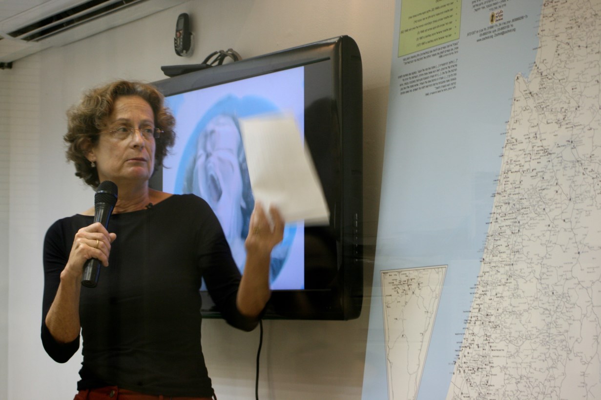
Tami Berger:
Good evening. What Eitan said made even clearer what I had understood from my initial study of the map on the computer, how thoroughgoing a project this is, how much has been invested in it. Well done!
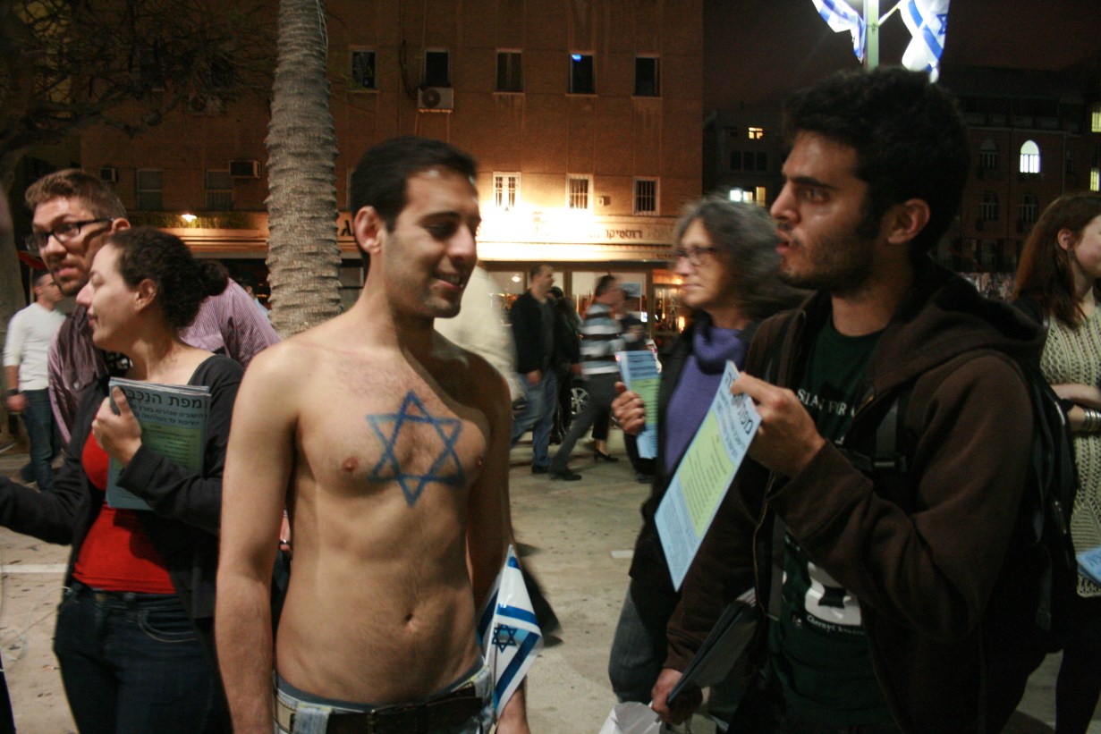
We’re gathered here at this time because we neither wish nor are able to participate in the independence celebrations going on outside. We can’t avoid looking critically at what’s going on outside. When I look at something like a map, I also view it critically. That’s how I read this map.
Let me begin by saying that I looked at the digital version of this map on a computer, not at the paper map. While that may seem trivial, it isn’t. What’s missing on-line is the map as a whole, a view of it in its entirety, as a single entity. But, on the other hand, the digital version makes it possible to add many more ways of categorizing its contents that would be possible on paper. The digital map is infinite. The printed version shows an overall view of the country’s map. That makes a statement: This is the map; there’s no other. It’s the one clear, simple option (not in an emotional or historical sense), unambiguous. That choice makes an entire universe of facts disappear, one that is very relevant to any discussion of the conflict. That’s a universe which isn’t easy to see here. My first comment, therefore, is about the danger of reductionism. That’s not a criticism, but it’s something that has to be considered.
Eitan:
What do you mean by reductionism?
Tami:
Simplification, or oversimplification. It’s not a complaint; I’m raising a question.
And now a claim: this is a map of devastation, of catastrophe. The map intensifies the picture of devastation during the Nakba, adding localities that experienced partial expulsions, Syrian localities, Jewish localities, going back from 1948 to the beginning of Zionist colonization. It’s important to be able to go back in time, before 1948. That’s a welcome act. I must say that this map, providing as it does a more intensive picture of devastation, reminds me, in its dystopia, of the trips to the camps in Poland. It’s no less an ideological map than are the Zionist maps. Ideological in the sense that a huge gap exists between what it portrays and reality. What it identifies as desolate is not part of what actually exists, nor are entire dimensions of reality present there. It orders different kinds of information along a single dimension. Of course, any map is selective, and that makes sense. You’re allowed to be ideological, but you should say so explicitly.
As with any map, I slowly discovered here things I didn’t immediately notice. First, the matter of the locality names. Biblical names that became Arabic names that became Hebrew Zionist names. That’s a familiar phenomenon. There’s a little of it on the Golan Heights.
Another fact: The map doesn’t show the Green Line, but it’s quite present nevertheless. There was (almost) no nakba beyond the Green Line.
Another interesting fact: Everything appearing in grey is flattened to uniformity. If, for example, I had focused on the settlements an interesting dynamic would have been created between the pre-nakba map and the map of the settlements. A kind of death and rebirth. The settlements seemed to me an act of defiance against any restoration.
It’s interesting that all the “existing villages whose inhabitants were expelled in part or temporarily” are in the Galilee. It would be interesting to determine why.
The roads are a very powerful geographical-spatial element. They are more likely than buildings to survive. I’m trying to understand the relationship between restored localities and roads, using an old map. It’s actually possible to reconstruct the history of colonization by using a road map.
You see how heavily settled was the coastal plain, which is now mostly empty. The northern Negev was also well-settled and is today mostly empty. From Yeruham south the land was almost completely empty; perhaps there was a Bedouin settlement that was difficult to indicate on the map. Most of the Hebrew names on the map are pointed; that’s important.
Finally, back to the devastation. The map declares: I’m the angel of history. The angel faces history’s pile of ruins. He yearns to rebuild but a mighty wind blows him back. That storm is progress. The quote from Benjamin is insufficient. It’s possible to add another “Benjaminic” concept that completes his utopian picture: the existing present. That’s a utopian vision in which the entire past is included in the present. It’s not erased, it’s not a pile of ruins. I see the angel of history as a great hero. Benjamin’s angel isn’t enough; it must be connected to that visionary yearning. Moreover, in The work of art in the age of mechanical reproduction Benjamin writes about progress, about cinema and photography as possessing actual, utopian power, a force for freedom – that’s the Benjaminic package deal we mustn’t forget.
Hana Farah Kufr Birim
Let me add my congratulations to Tami’s for this magnificent map. Many, many thanks. It provides important information to a public that doesn’t usually read English and Arabic works about the Nakba.
What the map lacks, as far as I’m concerned, is a portrayal of what’s beyond the country’s borders. During the period of the British Mandate people travelled to all the surrounding countries. My grandfather would tell me about those travels.
I’d like to read a poem by Muhammad Ali Taha:(…)
Now the discussion starts. Only the sound of a tractor is heard from all the localities that have been built and the villages that have been destroyed.
Rivka:
Regarding the Bedouin locations in the south. Documents from 1905 show that localities like Al Araqib and others existed.
Eitan:
A little story about Araqib, but an important one. In Nuri al Oqbi’s suit against the state seeking the return of part of his land, Prof. Ruth Kark testified for the state. Just as she’d aided the state as an expert witness in the past to dispossess many Bedouin from their lands, she claimed that Araqib was not found on any map. “Not even on the map on Zochrot’s web site,” she emphasized. So, for Prof. Kark’s information, Araqib is on that map, and was also added to the web site.
Dvora Zilberstein:
It’s important for me to say only that this map brings back what Israel has repressed. A wonderful job!
Question:
It seems to me that, in a certain sense, the quote from Benjamin is the opposite of the Nakba. He describes destruction and construction which proceeds ceaselessly. The Palestinian villages were also built following the destruction of earlier localities. The Nakba is unique in that the Palestinian population was replaced by Jews in a very short period of time.
Eitan:
I agree with Tami’s criticism that the map’s primary focus is on the destruction. I’m not sure that the Arab conquest was accompanied by massive destruction. There are Palestinian localities that were established on the remains of crusader fortresses, for example, without destroying them. The Zionist pattern was completely different. I’m glad Tami mentioned Benjamin’s optimistic aspect, because I share it. I see a great deal of optimism in this map because it represents an important, positive act for society.
Liat Rosenberg:
Thank you, Eitan, for all your work. I want to ask you, as someone who invites people to imagine the next layer of the map, the return, do you see potential in it, insights about creating possibilities for return?
Eitan:
I didn’t approach the map from a perspective of planning the return. But I don’t think it’s coincidental that it’s appearing today, 65 years after the Nakba. I think time is on our side, not the opposite. We’re more realistic today and dare to present the destruction as it really was. That very “overview” Tami mentioned, the simple statement about what Zionism destroyed, allows you to say, “That’s how it was; that’s it. Let’s leave it there. Now let’s think about building.” This map is also an educational and planning tool that will help people who read Hebrew to plan the return of Palestinian refugees. I also had ideas about two other possible maps: one would be a kind of negative to this one, a map of the localities established in the country since Zionism began. We’d see the opposite – almost all the localities established were Jewish. Another map reminds me of what Hana said - a map showing the localities destroyed by Israel that lay beyond today’s borders.
Question:
Is this map intended to remind, or to accuse? Do you have a position, or do you simply want people to know the facts? I believe in knowing the facts. Are you accusing? Speaking of crimes? Because then it’s necessary to know all the facts.
Eitan:
The map identifies destroyed localities. Everyone can read it as they choose. For example, some say it’s good that all the “marauders’ localities” disappeared, that they no longer exist. Or, as I believe, that many crimes were committed here. Numerically, many more Palestinians than Jews were killed and wounded as a result of criminal acts. It’s more important to us to speak about our own responsibility, and less about guilt. It’s important to remember that if I justify ethnic cleansing, or preventing refugees from returning, I continue to be responsible for it today. For me the main question is, what’s my responsibility today? Because someone who wasn’t there in 1948 can’t be responsible for anything that was done then.
Question:
Does the map refer to destruction occurring today in Area C?
Eitan:
No. The map doesn’t refer to destruction after 1967. Other organizations have prepared such maps. But you can see on this map the sources of contemporary events. For example, Sheikh Jarah and the Jewish history of Nahalat Shimon and Shimon HaTzadik that were destroyed in 1948.
Ro’i:
Regarding Benjamin. About violence in history, on immorality. I feel the nakba is a part of a history where immoral behavior occurred - the techniques are less important to me. The essential difference has to do with responsibility. What’s important is whether people try to impose/accept/flee from responsibility.
Eitan:
We could have added another appropriate sentence from Benjamin: the historian brushes history against the grain. When you brush against the grain you sometimes discover many unpleasant things. Israel has completely repressed the information in this map. Except for the Jewish localities - considerable effort is devoted to remembering them.
Hana:
I’d like to add something in response to the person who asked about guilt. If all we have here is information, without any direction or intention, it’s a waste of time and energy. This map portrays the history of Zionism extremely well. You can see how it began, and where it has gone until now. As a Palestinian, I’m always in its crosshairs. My identity is undefined. I don’t exist in my ID card; I’m an “Arab.” It’s not a question of accusations but of responsibility, and what happens next. If I’m the one with the power, the one who decides, and make laws that leave the weak powerless, what responsibility does that impose on me?
Efrat:
Eitan, tell us about the maps with “destroyed.”
Eitan:That’s a set of maps published by the Israel Mapping Service in the 1950’s. They took British maps from 1942, in English, and overprinted them in purple, in Hebrew. The maps are on a scale of 1:100,000; new roads and Jewish localities are indicated in gray. In addition, many Palestinian villages destroyed in the Nakba were indicated by the Hebrew word “harus” [“destroyed”] in parentheses, in purple, below the locality’s name. They’re present on the map along with their destruction.
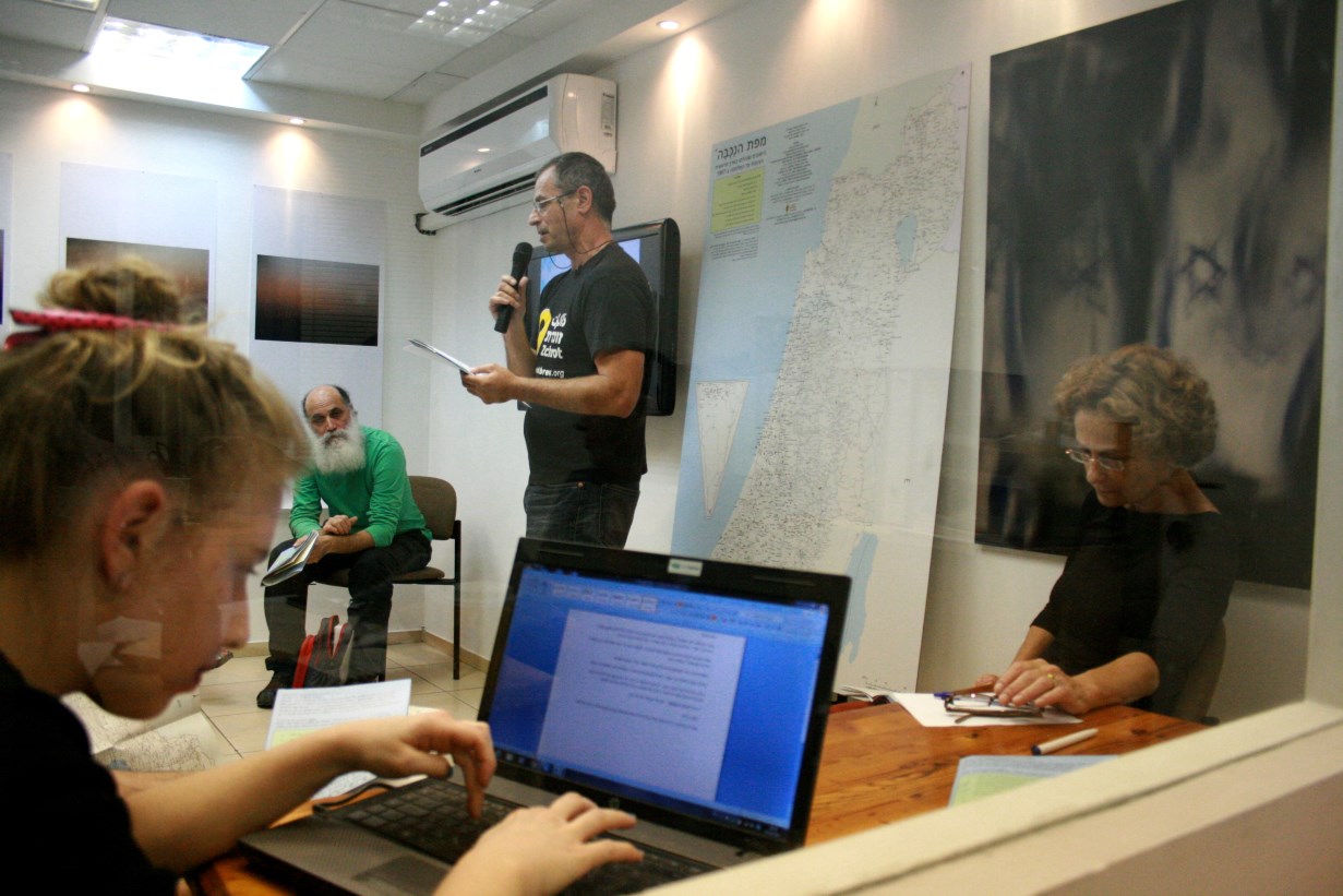
השקת מפת הנכבה בעברית / Launch of Nakba Map in Hebrew
השקת מפת הנכבה בעברית / Launch of Nakba Map in Hebrew
השקת מפת הנכבה בעברית / Launch of Nakba Map in Hebrew
השקת מפת הנכבה בעברית / Launch of Nakba Map in Hebrew
השקת מפת הנכבה בעברית / Launch of Nakba Map in Hebrew
השקת מפת הנכבה בעברית / Launch of Nakba Map in Hebrew
השקת מפת הנכבה בעברית / Launch of Nakba Map in Hebrew
השקת מפת הנכבה בעברית / Launch of Nakba Map in Hebrew
השקת מפת הנכבה בעברית / Launch of Nakba Map in Hebrew
השקת מפת הנכבה בעברית / Launch of Nakba Map in Hebrew
השקת מפת הנכבה בעברית / Launch of Nakba Map in Hebrew
השקת מפת הנכבה בעברית / Launch of Nakba Map in Hebrew
השקת מפת הנכבה בעברית / Launch of Nakba Map in Hebrew
השקת מפת הנכבה בעברית / Launch of Nakba Map in Hebrew
השקת מפת הנכבה בעברית / Launch of Nakba Map in Hebrew
השקת מפת הנכבה בעברית / Launch of Nakba Map in Hebrew
השקת מפת הנכבה בעברית / Launch of Nakba Map in Hebrew
השקת מפת הנכבה בעברית / Launch of Nakba Map in Hebrew