
Info
District: Nazareth
Population 1948: 720
Occupation date: 24/05/1948
Occupying unit: Golani
Jewish settlements on village/town land before 1948: None
Jewish settlements on village/town land after 1948: None
Background:
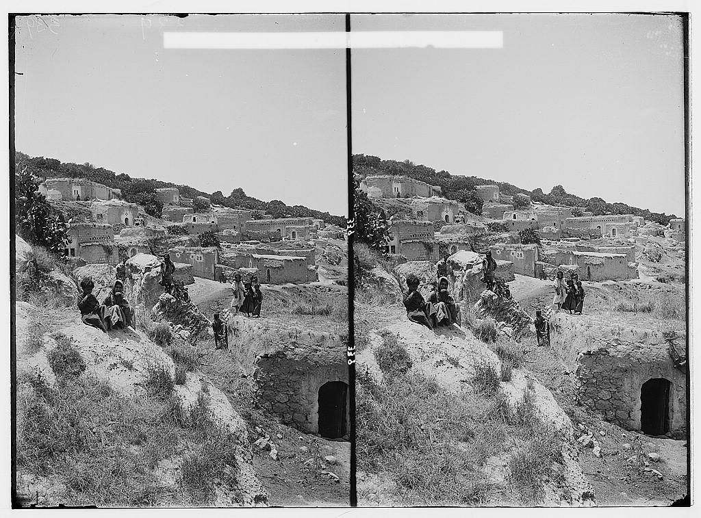
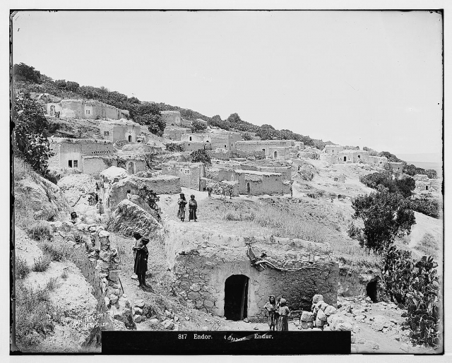
Indur was located 10.5 km southeast from Nazareth. I was situated on the lower, northeastern slopes of Mount al-Dahi, facing north and overlooking the plain of Marj ibn 'Amir. Indur lay a few kilometers from a highway that led to Tiberias and Nazareth.
Israeli historian Benny Morris reports that the village was occupied on 24 May 1948; the villagers of Indur may have left as a result of a military assault and under the influence of the fall of the neighboring town of Baysan. Although most of the Baysan Valley had been conquered by the Haganh before 15 May, the Golani Brigade went on "cleansing and defending" the area until early June.
There are no Israeli settlements on the village land. The settlement of Davrat is close by, due west of the village site. It was founded in 1946 on the boundary between the lands of Indur and those of the village of Dabburiyya.
Many partially ruined walls still stand on the village site. Date, doum palm, fig, and almond trees grow on the village lands. The surrounding flat lands are cultivated by Israelis and the hilly lands serve as grazing area.
Images

Videos
Booklets
Others
Publications

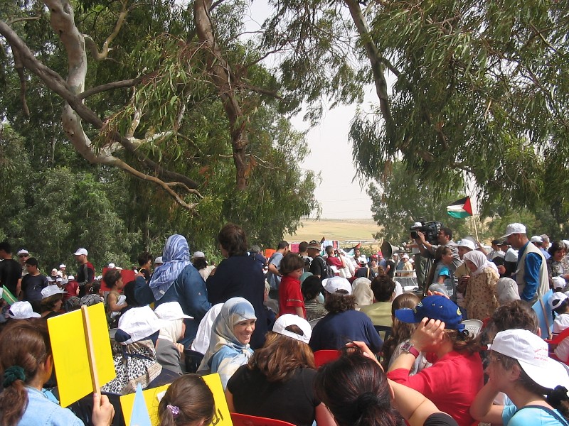
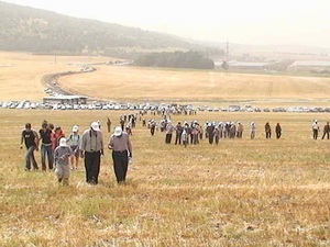
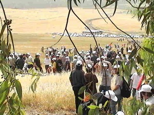
Locality activities