
Info
District: al-Quds (Jerusalem)
Population 1948: 720
Occupation date: 18/07/1948
Occupying unit: Har'el (palmah)
Jewish settlements on village/town land before 1948: None
Jewish settlements on village/town land after 1948: None
Background:
Ishwa' before 1948
The village stood on a large low hill surrounded by wadis to the east and the south some 20 km west of Jerusalem. Ishwa’ was believed to have been built on the site of the Canaanite city of Eshta’ol. It was known by that name during the Roman period. However Dayr Abu al- Quabus, situated half a kilometer to the North has also been identified with Roman Eshta’ol. During the 16-th century the settlement seems to have shifted half a kilometer to the north-east to the site of the village of ‘Islin. When this site was abandoned, in the 17-th or 18-th century Ishwa was repopulated. In 1875 it had about 450 inhabitants, in 1931 468 people were counted living in 126 predominantly stone-built houses. By 1944-45 the population had risen to 620 all of them Muslim. The village was star-shaped and possessed 5522 dunums of land. The village had a mosque, several small shops and an elementary school. Water was provided from ‘Ayn Ishwa’, north of the village and several smaller springs and wells. Agriculture was rain-fed. The villagers grew grain, olive trees, vineyards and fruit on their land.
Occupation and depopulation
On March 22 British forces stopped a Palestinian attack on the neighboring Jewish settlement Har Tuv. According to the New York Times 16 smoke shells were fired into the village and the population as well as armed forces stationed in it were evacuated. On the next day 600 British Soldiers entered the empty village.
According to the History of the war of independence the village was “cleansed” by the fourth battalion of the Har’el brigade on 16. July 1948. This probably means that inhabitants who had remained after the mortar barrages were summarily expelled. A string of neighboring villages met the same fate as part of operation Dani. The aim of the operation was to expand the Jewish-held corridor to Jerusalem.
Israeli settlements on Village lands
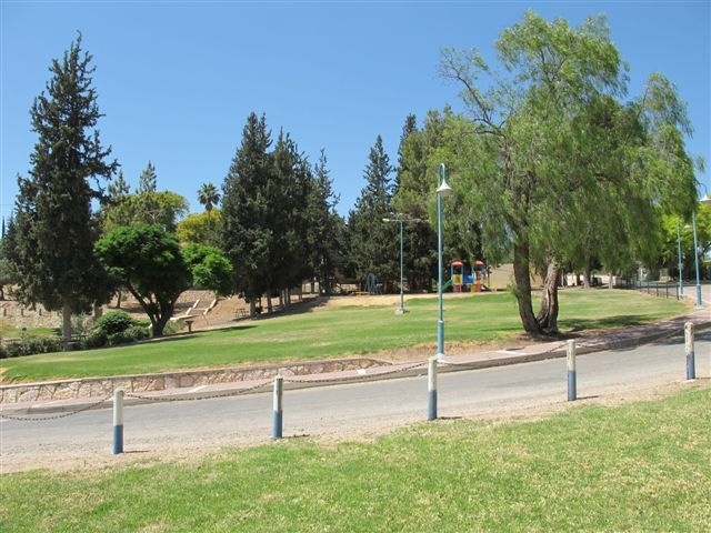
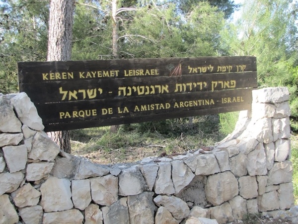
Israel established the settlement of Eshta’ol in 1949 on land belonging to Ishwa” and the village of ‘Islin.
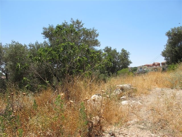
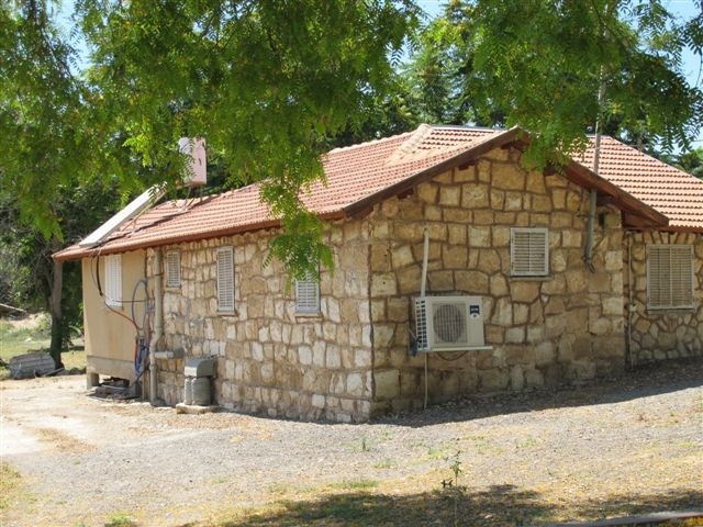
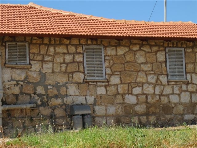
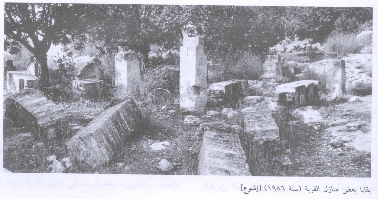
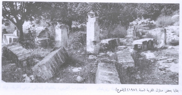
The Village Today
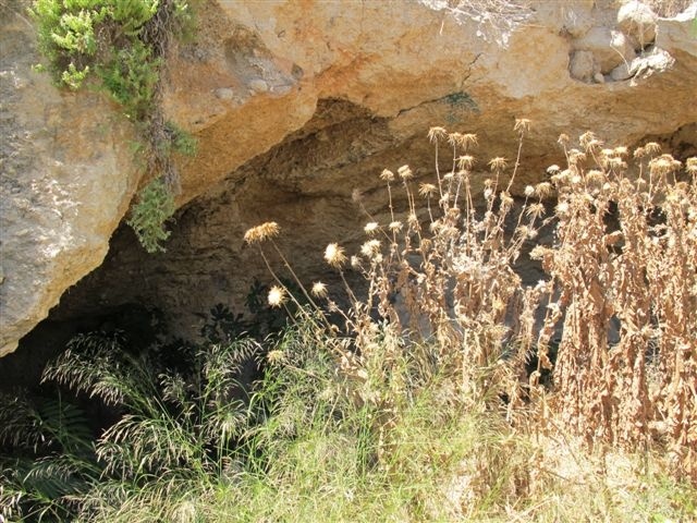
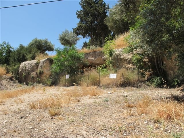
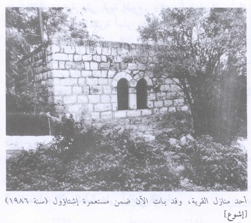
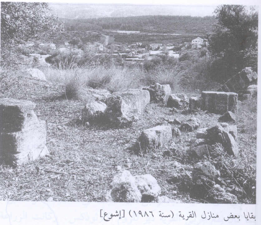
Only a few of the village houses remain interspersed among the settlement’s houses. Some serve as residences others as warehouses. The village cemetery has been levelled and planted with grass. On the southern edge of the cemetery is a cave that contains a large grindstone from a flour mill. Olive and Carob trees grow on the site among other trees planted by the settlers. At the western edge of the village is a soccer field. The walls and fallen roofs of destroyed houses can be seen at the edge of the field.
_____________________
Main Source: Walid Khalidi, All that Remains, 1990, 292-294
Information from additional sources:
According to PalestineRemembered.com local Palestinian Militias in the village were assisted in fighting by the Egyptian Islamic Brotherhood and several volunteers of the Arab Salvation Army.
Salman Abu Sitta, Researcher of Palestinian Refugees estimates that 719 people lived in the village in 1948 (The Palestinian Nakba 1948, 2000, 54).
Images
Videos
Booklets
Others
Publications
Locality events
