
Info
District: Haifa
Population 1948: 1710
Occupation date: 15/05/1948
Occupying unit: Golani 4th battalion
Jewish settlements on village/town land before 1948: None
Jewish settlements on village/town land after 1948: Elyakim
Background:
Umm al-Zinat Before 1948
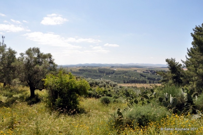
At 20.5 km distance from Haifa, the village stood on a rocky cliff on the southeastern section of Mount Carmel, and overlooked the bilad al-rawha'. A secondary road linked it to the coastal highway and to the Haifa-Jinin highway. Its name means 'source of adornments' in Arabic. In the late nineteenth century, Umm al-Zinat was among the ten largest villages in the district in terms of both population - 1,450 Muslims and 20 Christians - and land area. The village's layout resembled a tennis racquet, with a 'handle' extending towards the northeast. Its houses, built of masonry, were clustered together. A boys' elementary school was established in it in about 1888 under Ottoman rule.
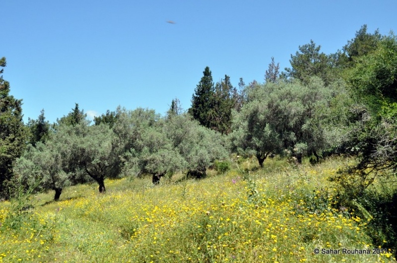
The villagers drew water for domestic use from several wells. They depended for their livelihoods on agriculture and animal husbandry, growing grain, vegetables, and fruit trees. By 1943, they had planted about 1,834 dunums of olive trees, the largest unbroken expanse of olive trees in the district. Umm al-Zinat had four manual olive presses. There were traces in the village itself of earlier settlement; these took the form of the foundations of buildings, rock-cut tombs, and, in the eastern part of the village, a stone sarcophagus. One km south of the village was khirbat al-Haramis, where the ruins of an ancient but as yet undated village was found.
Occupation, Depopulation, and Israeli Settlements
In the early days of the war, an attack was carried out by a Zionist unit composed of ten militiamen who were dressed in British army uniforms, employing a tactic that was commonly used to gain entrance to Arab villages. The Palestinian newspaper Filastin reported that the raid occurred on the night of 19-20 January and was driven back; it did not mention any casualties.
In the aftermath of the fall of Haifa, in late April 1948, Haganah forces occupied a number of villages in the surrounding area during Operation Bi'ur Chametz (Passover Clearing). Umm al-Zinat was captured on 15 May by the Golani Brigade's Fourth Battalion, according to the official History of the War of Independence. The village was situated on what the Haganah considered its 'alternate supply route' to Haifa, since the coastal road was 'blocked' by a cluster of Palestinian villages (the Little Triangle) until the end of July. The New York Times quoted Haganah sources as saying on 15 May that they had taken 'several' Arab villages on the slopes of Mount Carmel and near 'Afula.
Zionists established the settlement of Elyaqim on the southern side of the village site in 1949.
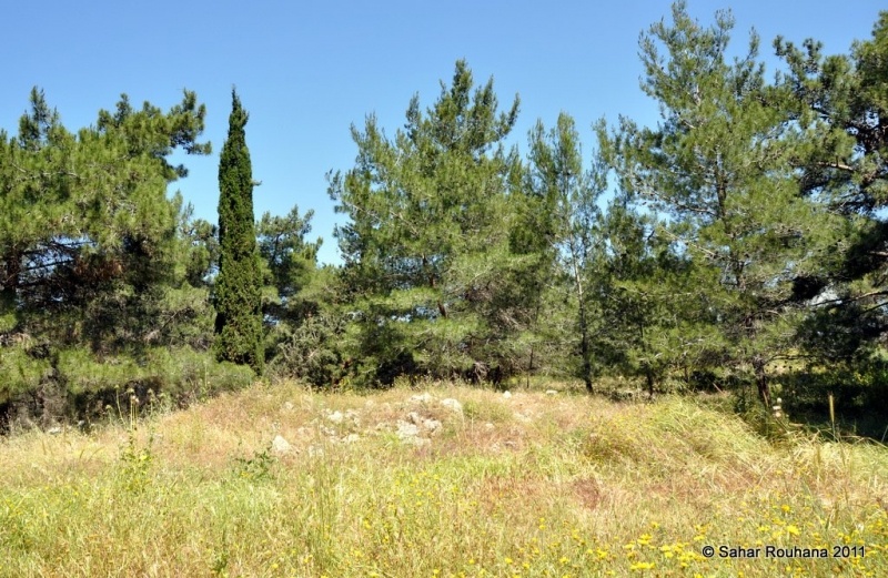
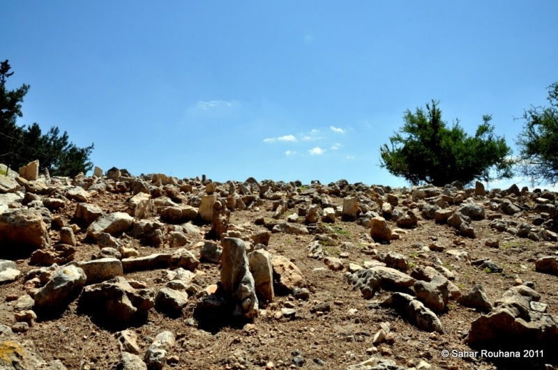
The Village Today
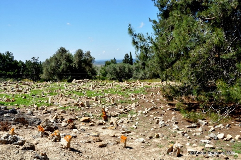
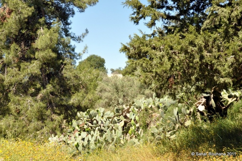
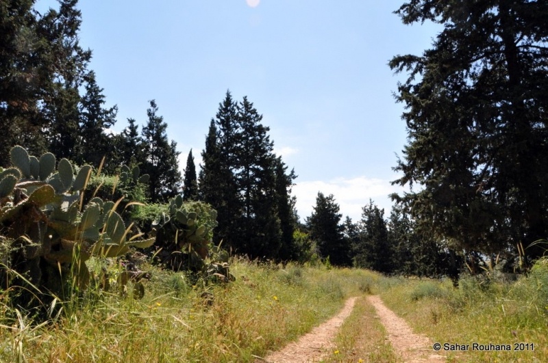
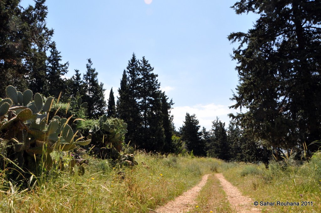
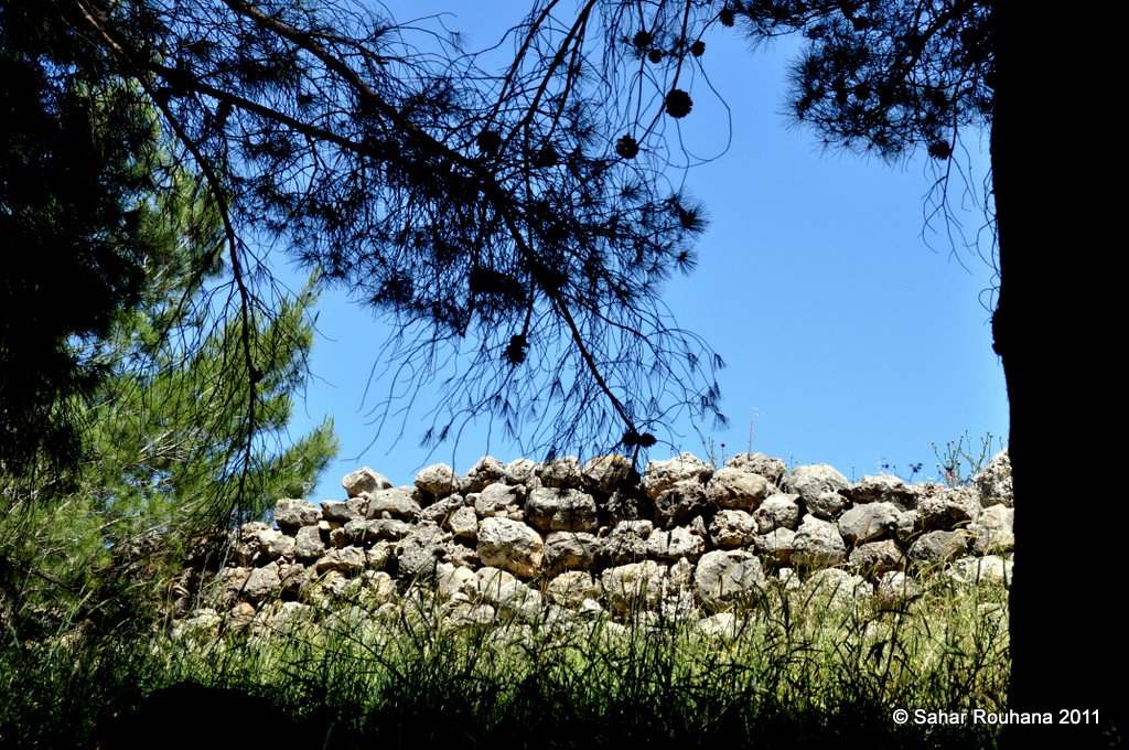
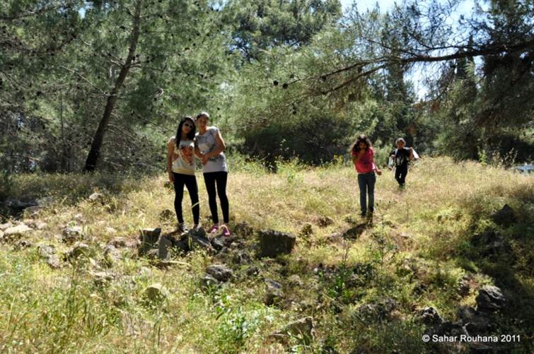
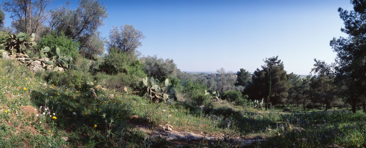
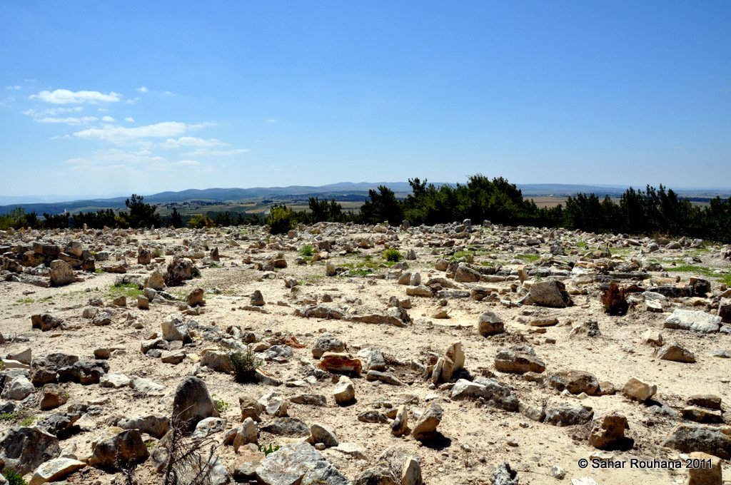
The houses have been reduced to rubble, piles of which are scattered over the site. The site itself is overgrown with thorns, bushes, cactuses, and pomegranate and fig trees. There is also a small forest on part of the site. The village's cemetery is still visible. Part of the surrounding land is used by Israeli farmers as cattle pasture and is planted with fruit and olive trees.
---------------------
Source: al-Khalidi, Walid (ed.). All that remains: the Palestinian villages occupied and depopulated by Israel in 1948. Washington DC: 1992.
Images


Videos
Booklets
Others
Publications
Locality activities
