Info
District: Safed
Population 1948: 20
Occupation date: 25/05/1948
Occupying unit: Palmach's 1st Battalion
Jewish settlements on village/town land before 1948: None
Jewish settlements on village/town land after 1948: None
Background:
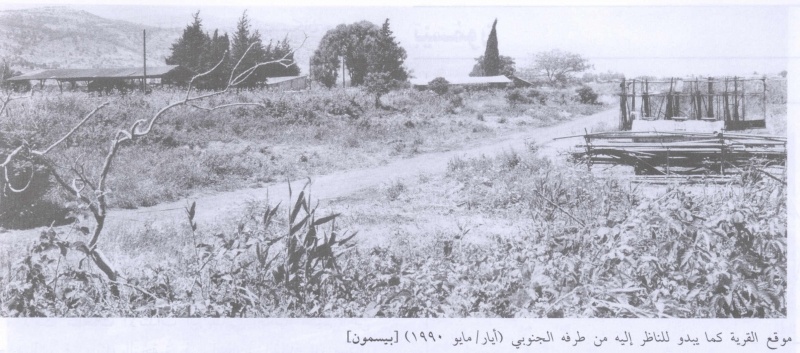
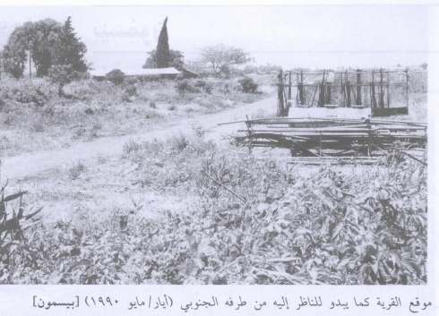
he village stood in a flat area that faced a mountain range on the west and overlooked the al-Hula Plain on the other sides. It was linked by a short dirt road to a highway that ran west of it and led to Safad and Tiberias. The name Baysamun may have been a derivation of bayt (house) and Ashmun (Phoenician god), which would mean “temple of Ashmun” in Phoenician. In modern times, Baysamun was a small village designated a hamlet in the Mandate-era Palestine Index Gaz etteer, whose houses were scattered in an east-west direction along the road that connected it to the highway. Its population was predominantly Muslim. Springs lay on its western and southern sides, and orange trees were planted to the north. In1944/45 the villagers used 1,817 dunums of its land for growing cereals; 107 dunums were irrigated or used for orchards.
Occupation and Depopulation
According to an Israeli military intelligence report in June 1948, the people of Baysamun fled as a direct result of a Palmach “whispering campaign” on 25 May. Such exercises in psychological warfare were an integral part of Operation Yiftach (see Abil al-Qamh, Salad District).
Israeli Settlements on Village Lands
There are no Israeli settlements on the village site or on village lands.
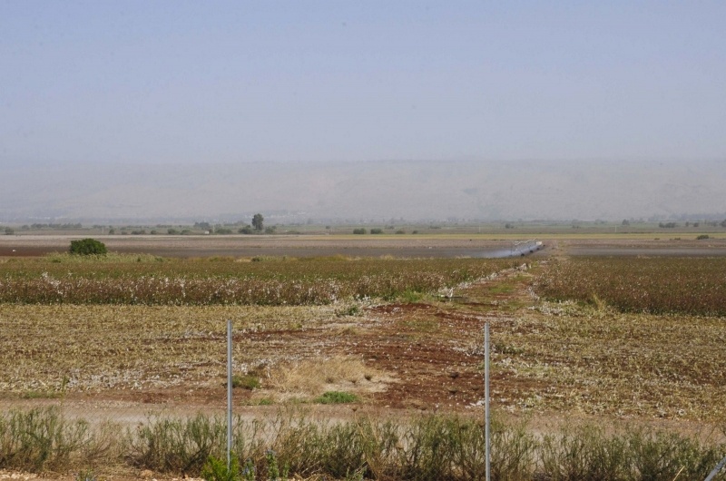
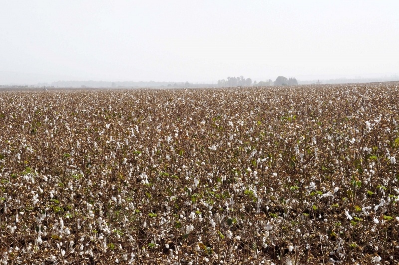
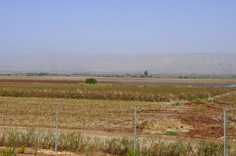
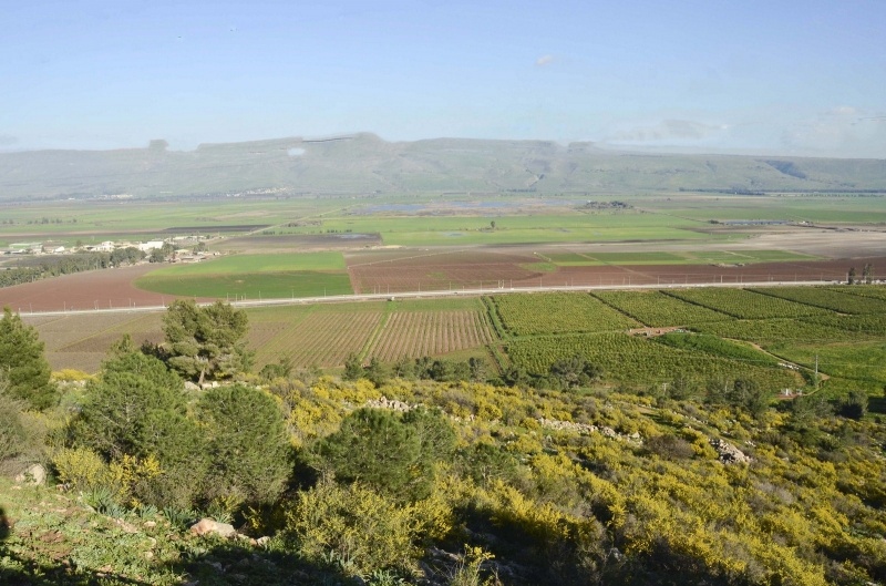
The Village Today
No traces of the houses remain. The site is occupied by warehouses for agricultural implements used by Kibbutz Manara, which had been established in 1943). The land around the site is cultivated and fish ponds have been constructed close to it.
-----------------------
Source: al-Khalidi, Walid (ed.). All that remains: the Palestinian villages occupied and depopulated by Israel in 1948. Washington DC: 1992.
Images