Info
District: Haifa
Population 1948: 130
Occupation date: 14/05/1948
Occupying unit: Irgun (Etzel)
Jewish settlements on village/town land before 1948: Even Yitzhak (Gal'ed)
Jewish settlements on village/town land after 1948: None
Background:
Al-Butaymat Before 1948
In the middle of the bilad al-rawha (the 'fragrant country'), the village stood on the slope of a small wadi in a hilly area, at 31 km distance from Haifa. Occupying a narrow strip of land that stretched from east to west, its houses were built of stone with either cement or mud, and water was provided by several springs around the site. Al-Butaymat was a Muslim village and, although small, it maintained its own mosque. As it was usually the case, agriculture and livestock breeding were the main means of subsistence.
Occupation, Depopulation, and Israeli Settlements
On the 14 April, The New York Times reported that the villages of al-Butaymat, Daliyat al-Rawha', and al-Rihaniyya have been occupied. The settlement of Even Yitzchaq (Gal'ed) was established west of the village site on village lands in 1945.
The Village Today
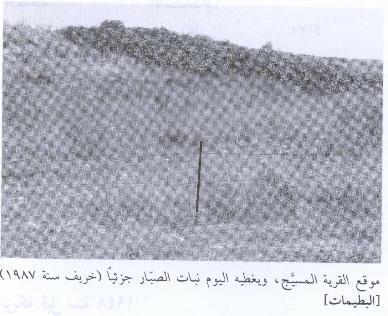
The site of the village is now fenced in, overgrown with grass and cactuses. With the exception of adobe bricks scattered around the site, no traces of houses remain. Most of the surrounding lands are used as grazing areas, but some of them are cultivated.
------------------------------
Source: al-Khalidi, Walid (ed.). All that remains: the Palestinian villages occupied and depopulated by Israel in 1948. Washington DC: 1992.
Images

Videos
Booklets
Others
Publications