Info
District: Safed
Occupation date: 04/05/1948
Occupying unit: Hagana units
Jewish settlements on village/town land before 1948: None
Jewish settlements on village/town land after 1948: None
Background:
Al-Butayha Before 1948
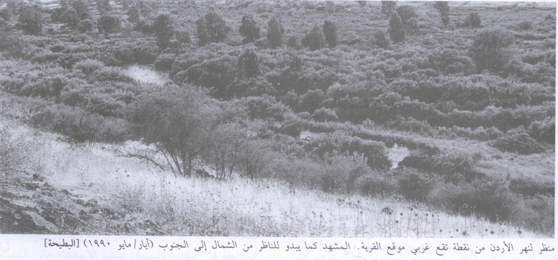
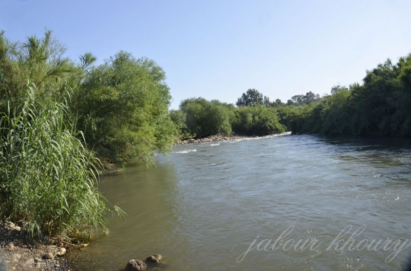
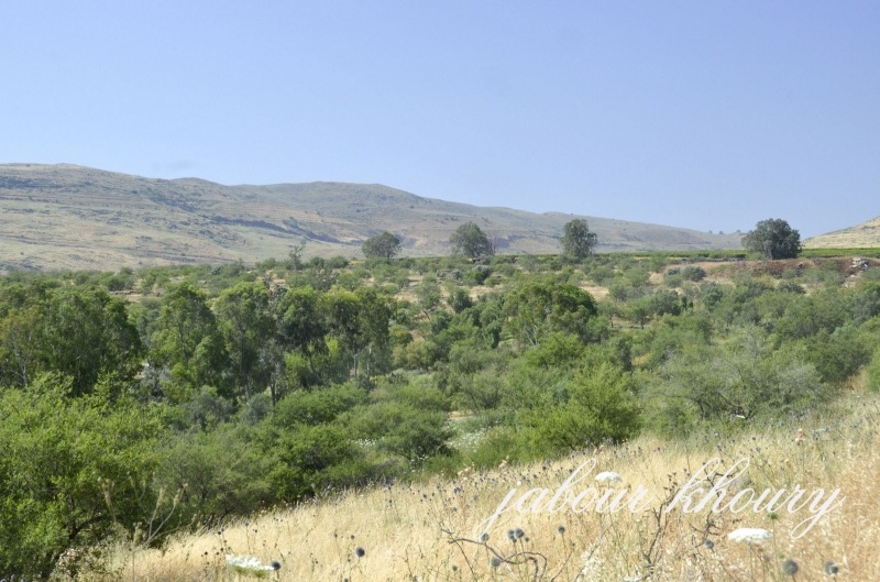
The village was located in a hilly area next to the Syrian border, about 0.25 km east of the Jordan and 2 km from Lake Tiberias It overlooked a broad expanse of land to the south of the city of Tiberias. Its name meant “marshland” m Arabic. The Arab geographer al-Qalqashandi, writing in 1459, described it as a settlement in the district of Safad. Modern al-Butayha was classified as a hamlet by the Palestine Index Gazetteer. In 1944145 a total of 3,842 dunums of its land was allocated to cereals; 238 dunums were irrigated or used for orchards.
Occupation and Depopulation
Al-Butayha’s location indicates that it was targeted for occupation during the Haganah’s Operation Matate (Broom), a portion of Operation Yiftach (see Abil al-Qamh, Safad District). Operation Matate (Broom), implemented on 4 May 1948, was designed to “clear” an area north of Lake Tiberias and west of the Jordan River Israeli histonan Benny Moms writes that it also did much to undermine morale among residents of the whole region. The justification given for the onslaught by the Zionist forces was that residents had been harrassing traffic to and from the Jewish settlement of Ro’sh Pinna. Moms reports that many houses in the occupied villages were razed to the ground the very next day by Palmach sappers. Operation Broom resulted in the displacement of 2,000 refugees to Syria, accordmg to Syrian authorities quoted by Morris. The village lands are used by the settlement of Almagor, established in 1961. A picnic area known as Park ha-Yarden is some 200 m south of the site.
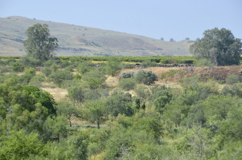
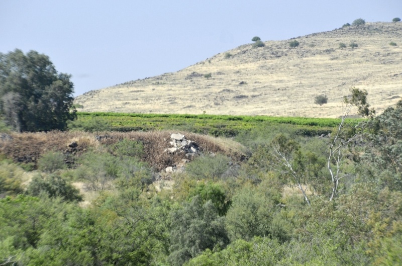
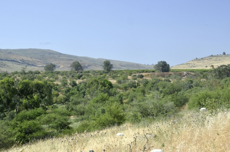
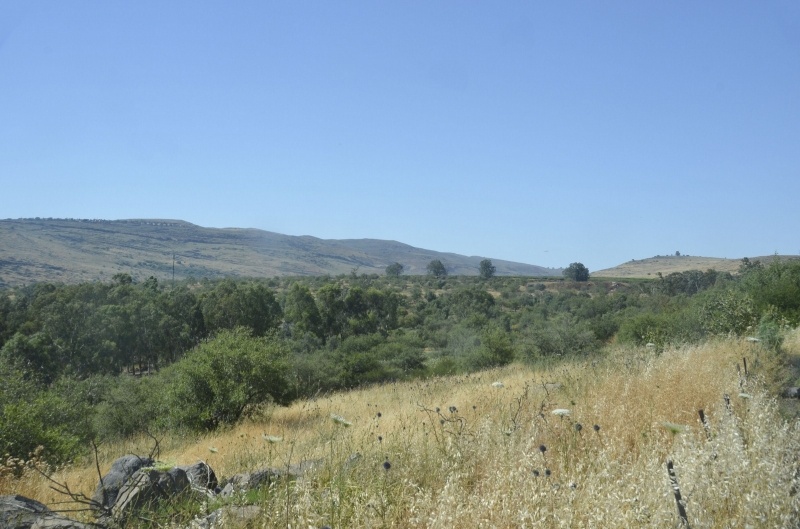
The Village Today
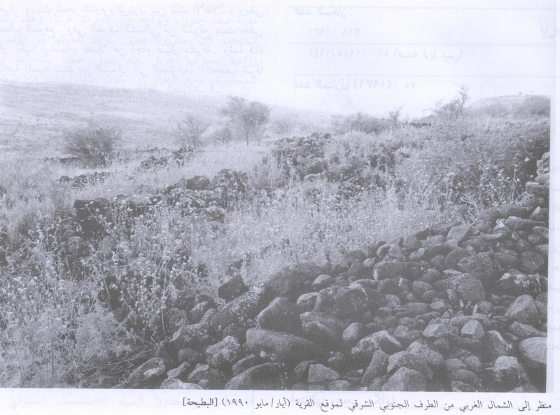
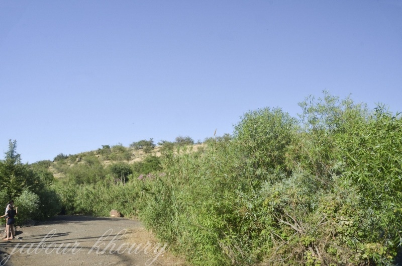
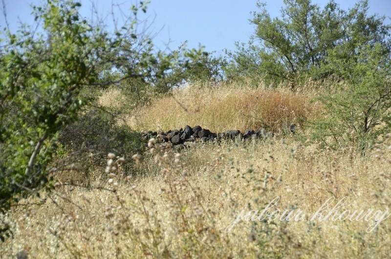
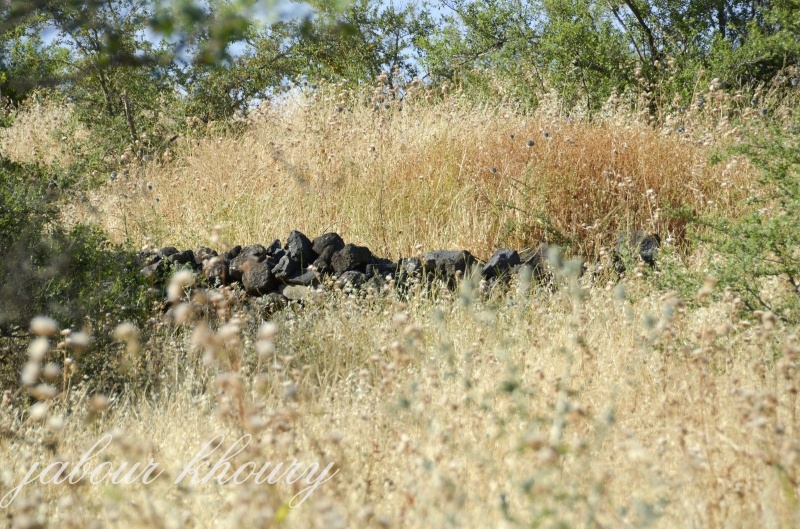
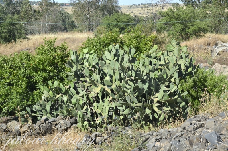
Only the black basalt walls of destroyed houses remain. Down palms and olive trees grow among these ruins and further mark the site On the northern edge of the site, tall eucalyptus trees grow, as well as scattered patches of cactus A man-made canal runs in a north-south direction and turns eastward near the northern edge of the site.
------------------------
Source: al-Khalidi, Walid (ed.). All that remains: the Palestinian villages occupied and depopulated by Israel in 1948. Washington DC: 1992.
Images