Info
District: Haifa
Population 1948: 340
Occupation date: 12/05/1948
Occupying unit: Irgun (Etzel)
Jewish settlements on village/town land before 1948: None
Jewish settlements on village/town land after 1948: nave sharrit (Zikhron Ya'akov)
Background:
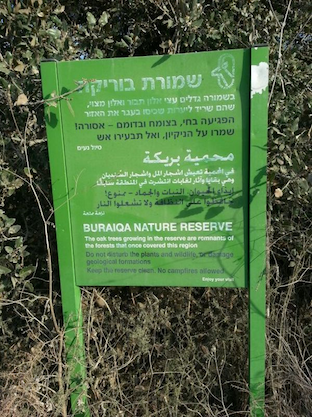
At 29 km distance from Haifa, the village was situated on the western side of Mount Carmel, linked by a secondary road to the coastal highway. Its name meant 'small pool' in Arabic. Its modern layout had an overall north-south orientation, and the houses were made of stone and either mud or cement. The inhabitants of Burayka were Muslim. A school was founded in 1889, but it was closed during the British Mandate. The village economy was based on rainfed agriculture and animal husbandry, and springs and wells provided water for domestic needs. In the vicinity was Khirbat Rusaysa, an artificial mound that probably dates to the Byzantine period. Another khirba (ruin) was close by, with building foundations still visible.
Occupation, Depopulation, and Israeli Settlements
According to Benny Morris, the inhabitants of Burayka, southeast of Zikhron Ya'akov, were apparently ordered at the beginning of March by the AHC to evacuate so that the village might serve as a base for attack by irregulars on the Haifa-Tel Aviv road. However, most or all of the villagers appear to have stayed put.
There are no Israeli settlements on village lands.
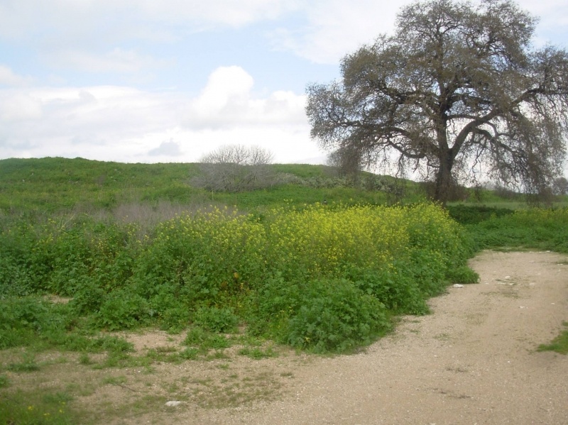
The Village Today
The village site is a closed, military-industrial area.
-------------
Sources:
al-Khalidi, Walid (ed.). All that remains: the Palestinian villages occupied and depopulated by Israel in 1948. Washington DC: 1992.
Morris, Benny. The Birth of the Palestinian Refugee Problem Revisited. Cambridge: 2004.
Images