Info
District: Safed
Population 1948: 120
Occupation date: 01/05/1948
Occupying unit: Palmah 1st battalion
Jewish settlements on village/town land before 1948: Eyal (Abandoned)
Jewish settlements on village/town land after 1948: Ashmora (Abandoned)
Background:
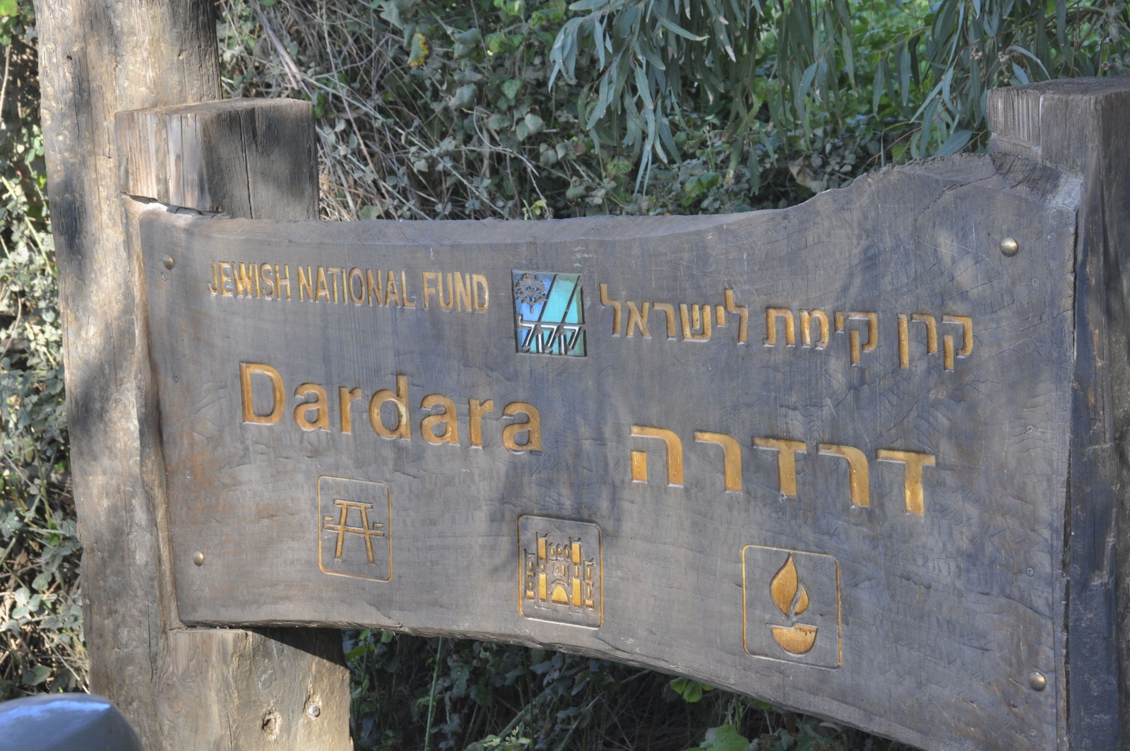
Al-Dirdara Before 1948
The village, located in the middle of a flat plain, faced a mountain range in the east and overlooked the al—Hula Plain to the north and south. Although most of its houses were made of mud, a few were built of stone. The villagers cultivated the fertile land around the village, especially the area to the south and southwest. Grain, vegetables, citrus, almonds, and figs were the most important agricultural products In 1944/45 a total of 1,623 dunurns was allocated to cereals and 795 dunums were irrigated or used for orchards.
Occupation and Depopulation
It is not clear when al-Dirdara was occupied. It may have fallen (luring Operation Yiftach (see Abil a!-Qamh, Safad District) in late April or May 1948. At any rate, it was in Israeli hands by early July 1948, at the end of the first truce of the war. The Histonj qf the War of Independence states that it served as one of the launching points for Operation Berosh, an attack against a Syrian bridgehead on the Syrian border that the Israeli forces mounted (luring the Ten I)ays between the two truces of the war (8—18 July). Syrian forces tried to capture the village shortly after this operation but were forced to withdraw after encountering a miiiefield and losing at least fifty men, according to the same Haganah account. In the armistice agreement signed between Israel and Syria in July 1949, the village and the area around it were to be demilitarized. By that time, the Israeli settlement of Eyal had already been established on the lands of al-Dirdara.
Israeli Settlements on Village Lands
The settlement of Eyal , established in 1947 on village land, was destroyed during the 1948 war. After the people of al-Dirdara had been expelled, the Israelis rebuilt the settlement and named it ha-Goverim. They changed its name once more, to Ashmura, in 1953. It is no longer inhabited.
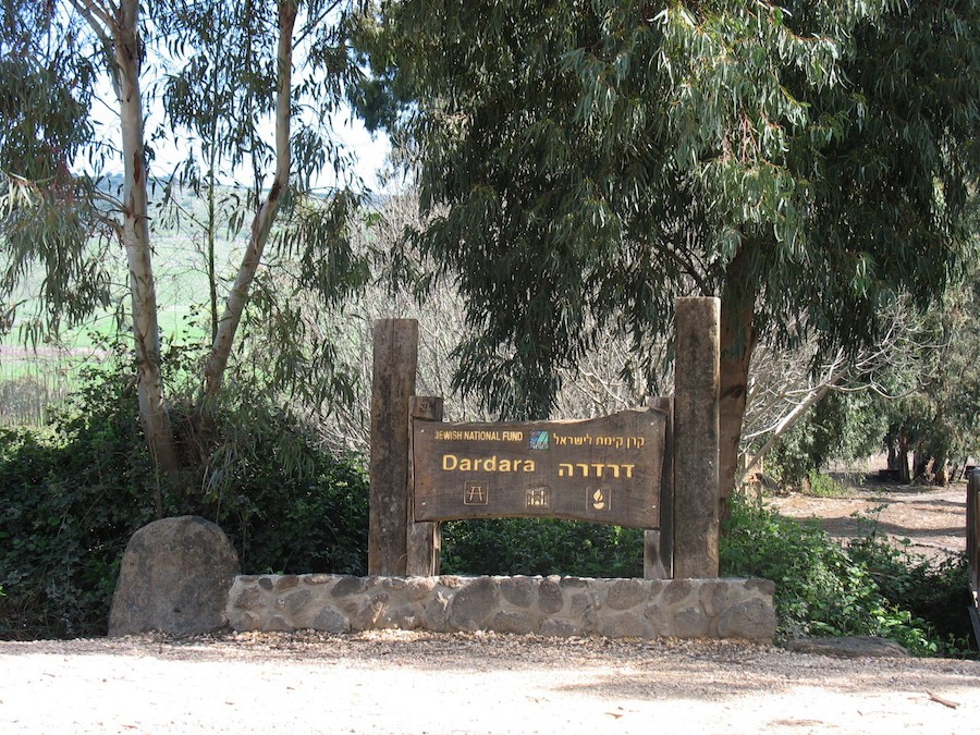
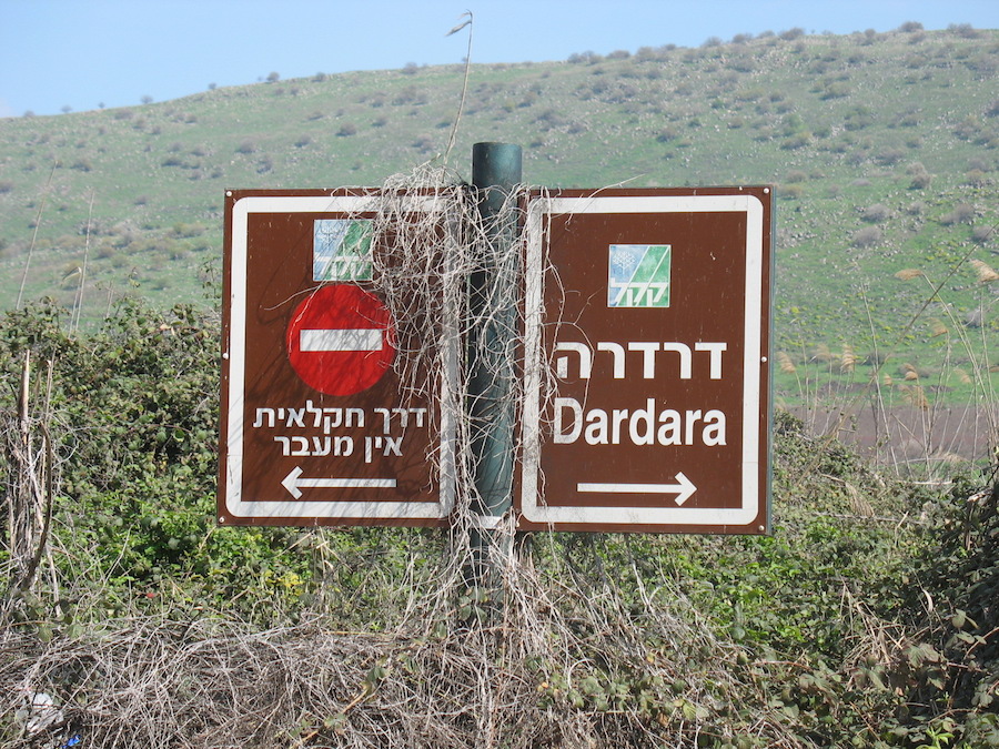
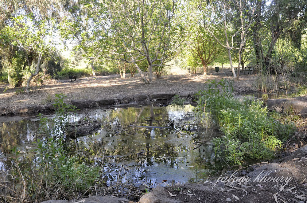
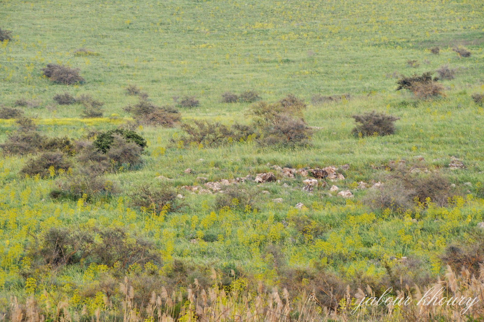
The Village Today
The site is a mound of stones and earth, overgrown with trees. There is a canal at the northern edge through which water flows in a north-south direction. The area around the site is cultivated.
----------------------------------
Source: al-Khalidi, Walid (ed.). All that remains: the Palestinian villages occupied and depopulated by Israel in 1948. Washington DC: 1992.
Images