Info
District: Tulkarm
Population 1948: 370
Occupation date: 01/04/1948
Jewish settlements on village/town land before 1948: HaOgen
Jewish settlements on village/town land after 1948: None
Background:
Before 1948:
Wadi Qabbani was located 1.5 km east of the coastal highway and it was linked to the village by a secondary road that passed through the village. The village was named after a Lebanese family who owned most of its lands.
The village was built on the archaeological site of Khirbat al-Shaykh Husayn, which contained artifacts that date to the Roman period. This khirba was a high point in the area and was bordered on the west and south by marshland.
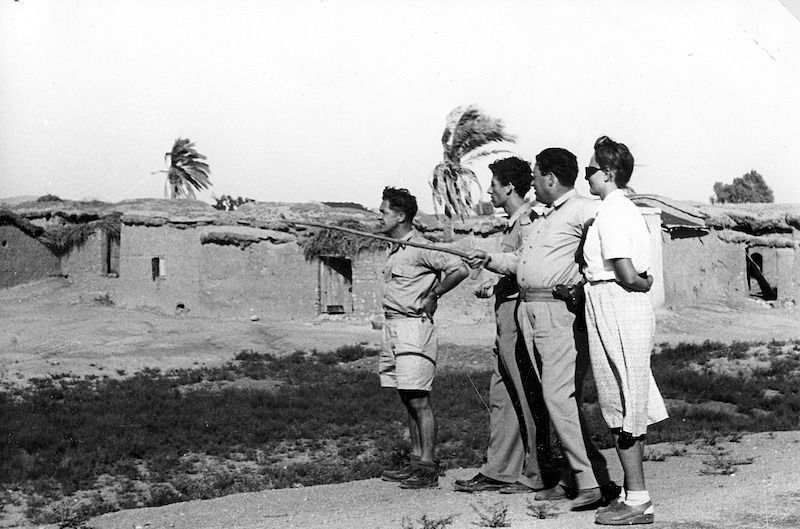
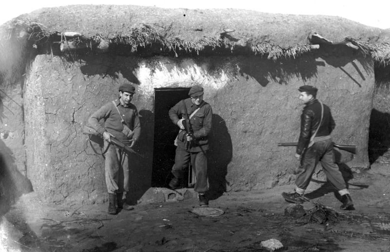
Occupation and Depopulation:
Judging from the evidence from surrounding villages it is likely that Wadi Qabbani was occupied in the early months of the war.
In March and April 1948, the Haganah had a general policy of uprooting coastal communities north of Tel Aviv. Sometime in between 8-10 April, the Haganah General Staff issued orders to its units to clear away and, if necessary, expel Arab rural communities along the axis between Tel Aviv and Hadera, a large Jewish settlement from 40 km north of it. Since Wadi Qabbani was situated halfway between the two points, it probably came under the scope of those expulsion orders.
Israeli Settlements on Village Lands:
Kibbutz ha-’Ogen was built in 1947 on the lands of the former village site.
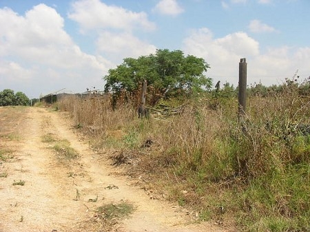
The Village Today:
Today two Christ’s-thorn trees grow next to the former cemetery, which has been converted into a park eithin the Kibbutz. Although no houses have been built on top of the cemetery, no traces of it can be discerned. The former village houses are gone.
--------------------------------
Source: al-Khalidi, Walid (ed.). All that remains: the Palestinian villages occupied and depopulated by Israel in 1948. Washington DC: 1992.
Images