Info
District: Safed
Population 1948: 970
Occupation date: 04/05/1948
Jewish settlements on village/town land before 1948: None
Jewish settlements on village/town land after 1948: Elifelet
Background:
al-Zanghariyya Before 1948
The village was situated in a hollow in the side of a wide hill that gently sloped eastward. It faced the Golan Heights and overlooked the Jordan Valley. Several springs were present to the northwest, along Wadi al-Ghara. Al-Zanghariyya was linked via a dirt road to the Safad—Tiberias highway. It was named after the ‘Arab al-Zanghariyya Bedouin tribe, who first used the site as a camping ground and then gradually settled there. The alternative name, Zuhluq (meaning “to slide” in Arabic), may have been given to the village because the slope on which it was located was subject to land slides. A1-Zanghariyya’s houses, made of mud and stone, were divided into two groups: one to the east (known as Zanghariyya al-Sharqiyya) and one to the west (Zanghariyya al-Gharbiyya); these groups lay about 300—400 yards apart. Its population was predominantly Muslim.
The lands around the village served mainly as pasture, although parts were planted in crops that were watered by both rainfall and irrigation. The villagers grew grain, fruit, and onions and also raised water buffalo and cattle. In 1944/45 a total of 7,265 dunums was allocated to cereals. Herdsmen from ‘Arab al-Zanghariyya grazed their animals on adjacent pastures, alternating between the Jordan Valley in the winter and the eastern slopes of the Galilee Mountains inthe summer. Fishing in Lake Tiberias and the Jordan also constituted an important activity for a segment of the population. Al-Zanghariyya contained evidence of earlier habitation, including building foundations and an enclosure built of basaltic stone.
Occupation and Depopulation
Operation Matate (Broom) was a Haganah offensive launched on 4 May 1948 in the course of Operation Yiftach (see Abil al-Qamh, Safad District). The goal of this offensive was to “clear” an area east of Safad close to the Jordan River. The orders given to Palmach company commanders before the sub-operation stated specifically that the villages of al-Zanghariyya, al-Tabigha, and ‘Arab al-Shamalina should be attacked, “their inhabitants expelled and the[ir] houses blown up.” According to Israeli historian Benny Morris, the orders added that “friendly Arabs” should not be harmed. Morris states that, as the Palmach columns approached these villages, the residents fled eastwards into Syria; the following day, sappers methodically blew up over fifty houses in al-Zanghariyya and the other villages. A cable sent by the Arab Liberation Army commander to the High Command in Syria confirms that al-Zanghariyya was occupied on 4 May, and adds that the occupation of the village was followed by an attack on Safad. The New York Times wrote: “In this operation [Operation Broom] Israeli forces have spread confusion among Arab populations of Galilee towns and sent Arab civilians scurrying for the borders of Syria and Lebanon.” Syrian authorities told the British that this thrust alone created a further 2,000 refugees. One week into the first truce of the war, on 17 June, the New York Times quoted Syrian officials who asserted that Israeli forces had broken the cease-fire by setting al-Zanghariyya on fire, possibly completing the destruction of the village.
Israeli Settlements on Village Lands
Israel established the settlement of Elifelet on village lands west of the village site, in 1949. The private farm of Kare Deshe , founded in 1954, is about 8 km to the southwest. An Israeli gazetteer mentions the settlement of Pedahe’el and says that its original name was Zangariya Bet. However, there is no other information available about this settlement, and it may have been abandonded during the 1950s.
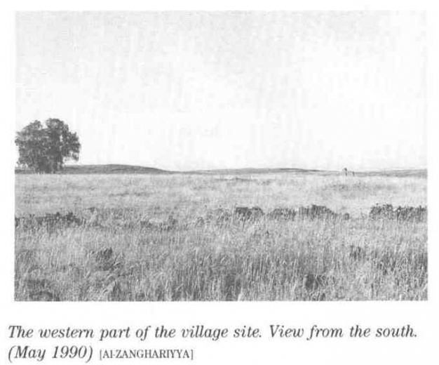
The Village Today
All that is left are blocks of basalt that once had been parts of twelve houses. Although the houses have been demolished, some of their walls are stifi standing. Near the remnants of the village houses are stone barriers that form parts of livestock enclosures. The area serves as pasture for the cattle of the nearby Israeli farm, Kare Deshe, to the southwest.
----------------------
Source: al-Khalidi, Walid (ed.). All that remains: the Palestinian villages occupied and depopulated by Israel in 1948. Washington DC: 1992.
Images