Info
District: Safed
Population 1948: 190
Occupation date: 01/05/1948
Jewish settlements on village/town land before 1948: None
Jewish settlements on village/town land after 1948: Part of Yuval
Background:
Al-Zuq al-Fawqani Before 1948
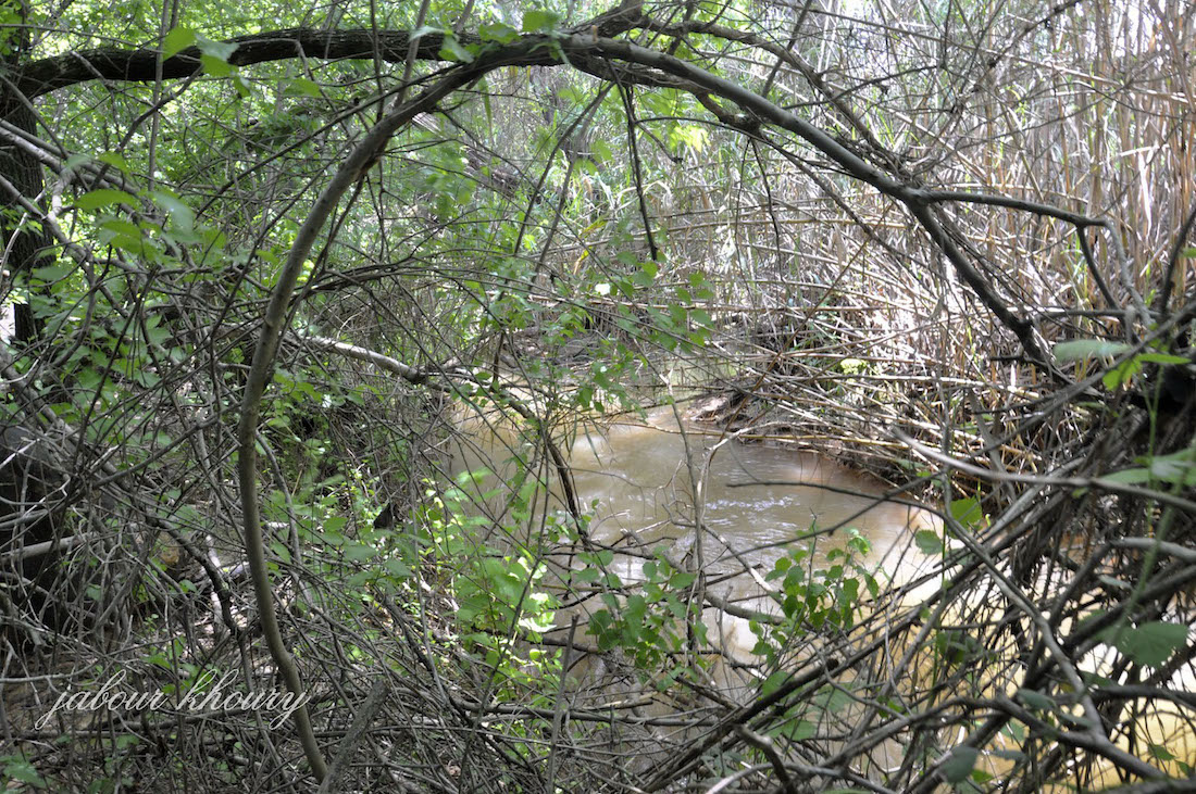
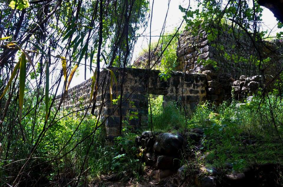
The village was near the Lebanese border in an area that sloped toward the al-Hula Plain, to the south. It was about 1 km east of the highway leading to Salad and Tiberias, at the intersection of secondary roads that linked it to several neighboring villages. The etymology of the first part of the name, al-Zuq, is not known for sure; it may have been derived from the Syriac zuk, meaning “town.” The second part, al-Fawqani (“upper” in Arabic) distinguished it from the “lower” village of al-Zuq al-Tahtani to the south. The outline of the village was circular, with its houses built along the roads that radiated outward from its center. Several springs flowed northwest of it, and a water-powered mill was built on the south side. The villagers grew olive trees on the slopes to the north and west of the village, and fruit trees on the western side. In 1944 a total of 1,286 dunuins was allocated to cereals; 503 dunuins were irrigated or used for orchards. Columns in secondary use, wall fragments, and an olive press all bear witness to earlier occupation at the site of al-Zuq al-Fawqani.
Within a 2-km radius of the site were several tells and khirbas, which testify to the attractiveness of the site for settlement in the past.
Occupation and Depopulation
The Palmach “whispering campaign,” which was launched during Operation Yiftach (see Abil al-Qamh, Salad District), precipitated the flight of many of the villagers of the Galilee panhandle, including the villagers of al-Zuq al-Fawqani. Israeli historian Benny Morris indicates that a direct military assault on the village contributed to the exodus of the villagers, which took place on 21 May 1948.
Israeli Settlements on Village Lands
There are no Israeli settlements entirely on village land, although Yuval, established in 1952, is located very close by to the northeast. Yuval sits at the intersection of the village lands of Abil al-Qamh, al-Sanbariyya, and al-Zuq al-Fawqani. Another settlement, Kefar Gil’adi , is about 1 km west of the site; it was founded in 1916.
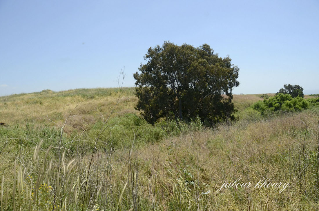
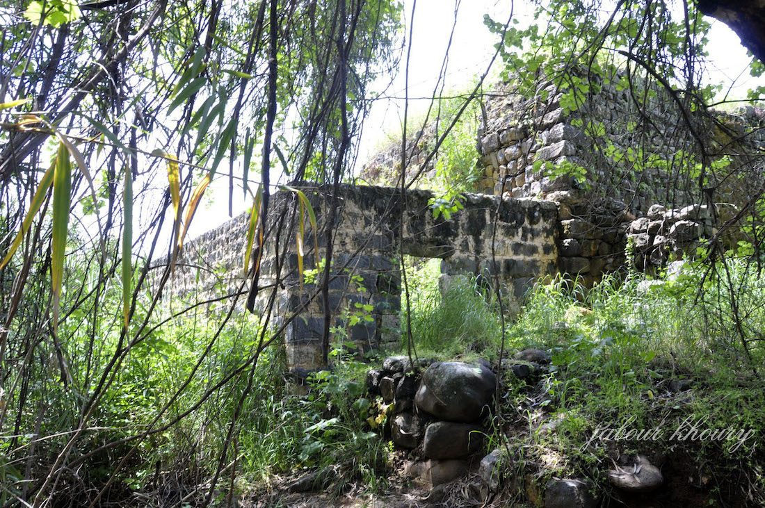
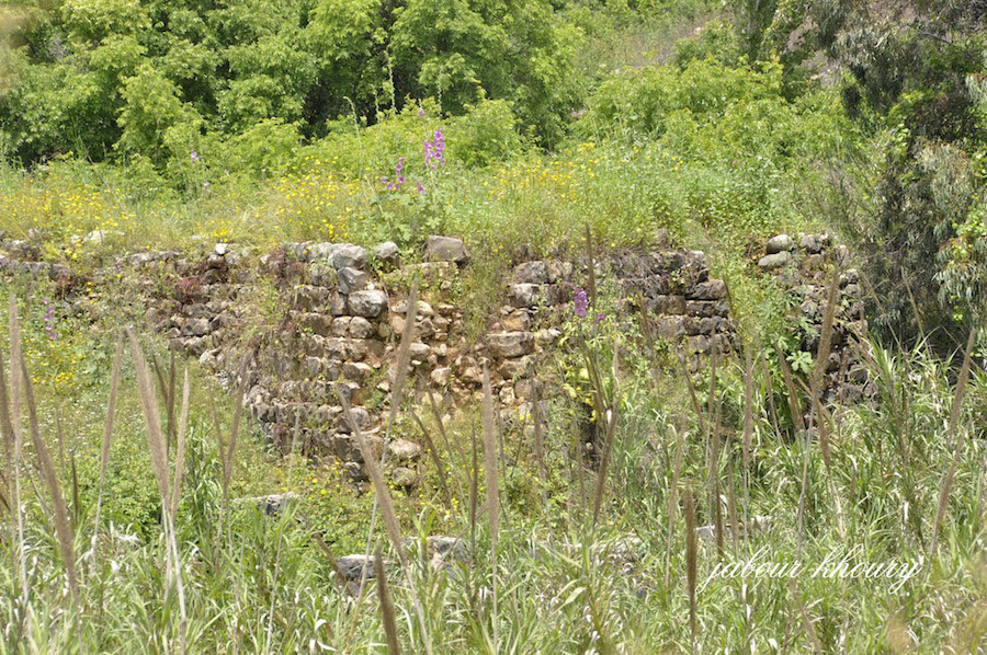
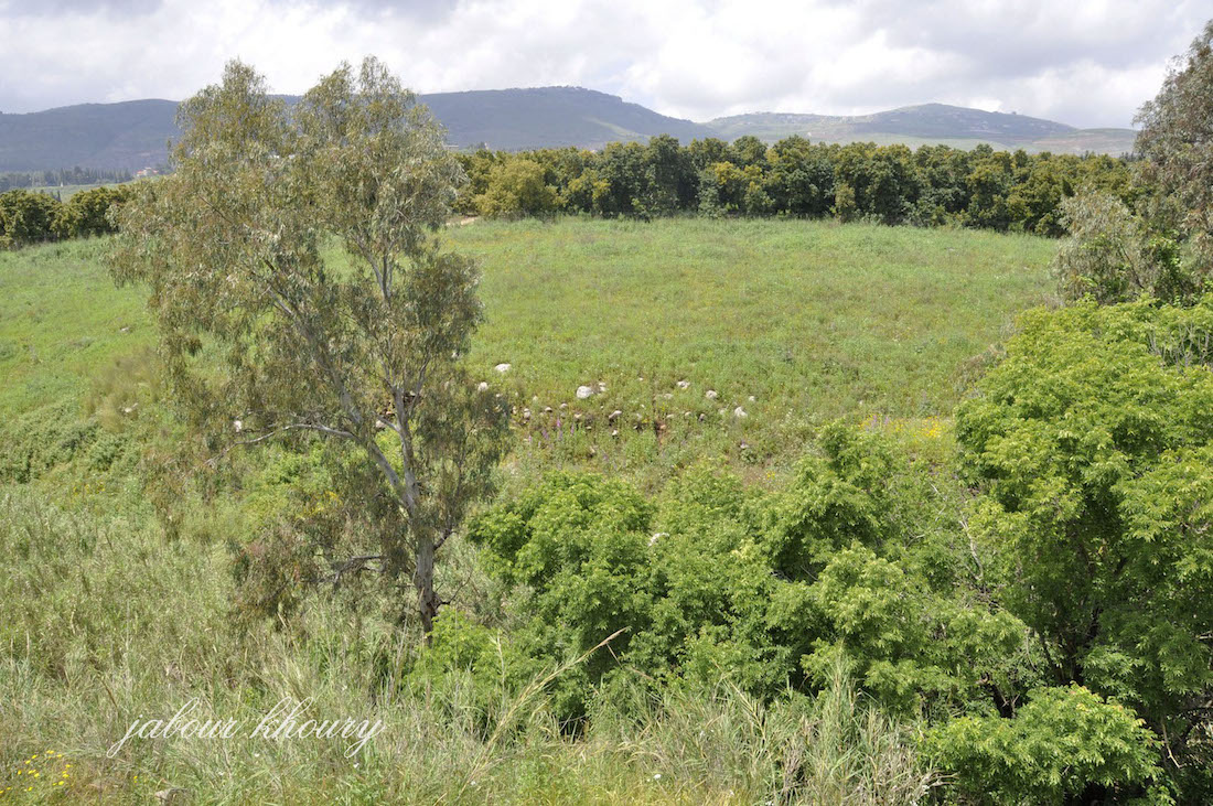
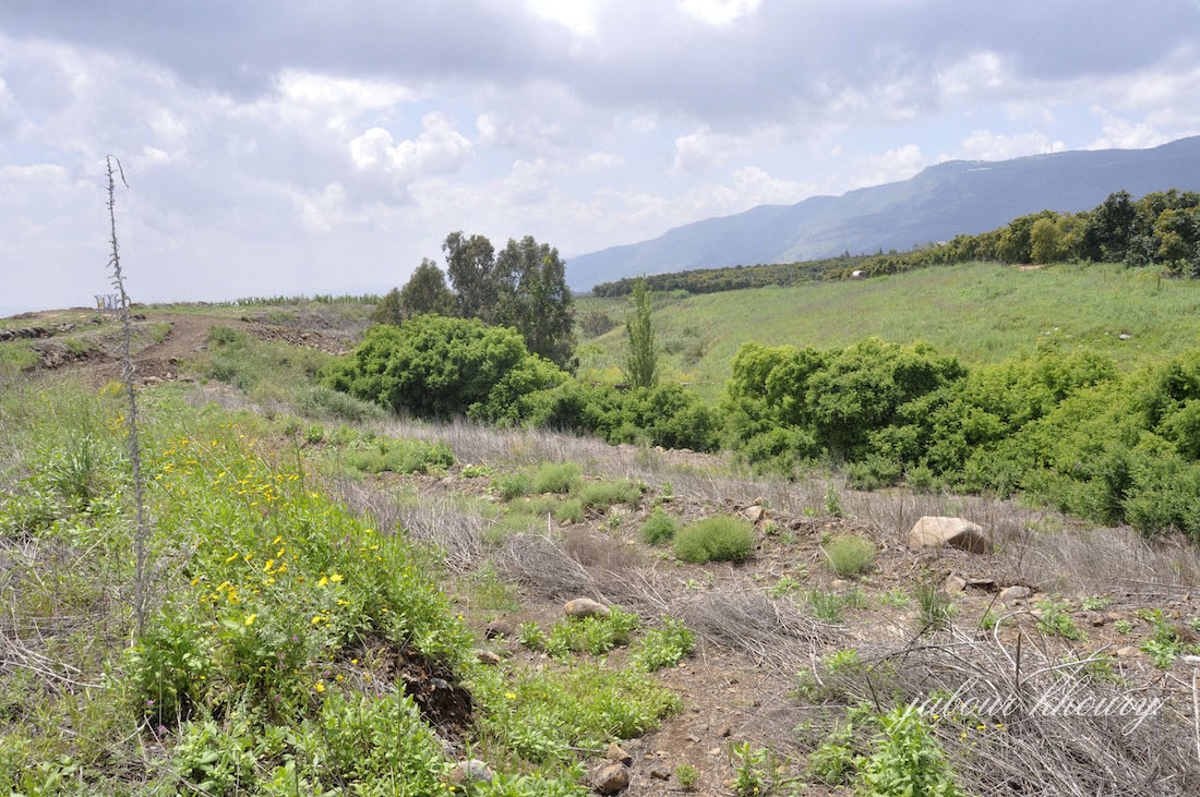
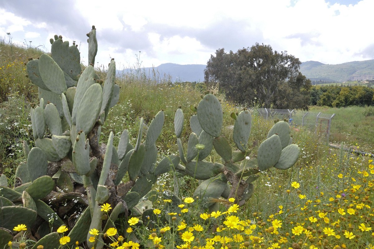
The Village Today
The stones of destroyed homes are strewn across the site, which is overgrown with grass, thorns, and a few cactus plants. The nearby settlement of Yuval cultivates part of the surrounding land, and uses the rest as forests and grazing grounds.
----------------------------
Source: al-Khalidi, Walid (ed.). All that remains: the Palestinian villages occupied and depopulated by Israel in 1948. Washington DC: 1992
Images