Info
District: Safed
Population 1948: 1220
Occupation date: 01/05/1948
Jewish settlements on village/town land before 1948: None
Jewish settlements on village/town land after 1948: Beit Hillel Expansion, Industrial area and part of Kiryat Shmona
Background:
al-Zuq al-Tahtanl Before 1948
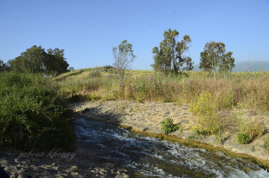
The village was situated on a hill and faced broad, open areas on all sides; Mount Hermon (Jabal al-Shaykh) loomed in the northeast. A secondary road linked al-Zuq al-Tahtani to a highway that led to Safad and Tiberias, and graded roads connected it to neighboring villages. The etymology of the first part of the name, al-Zuq, has not been established; it may have been derived from the Syriac zuk, meaning “town.” The second part, al-Tahtani, meant “lower” in Arabic and distinguished it rom al-Zuq al-Fawqani , the upper village, to the northwest. In the late nineteenth century, al-Zuq al-Tahtani was a village built of stone and mud and surrounded by arable land. It had a population of about 100. There were older, ruined Arab houses and a mill on the north side, and a large stream ran near the village.The population of al-Zuq al-Tahtani was comprised of 626 Muslims and one Christian in 1931; no exact breakdown is available for 1945, but the population was predominantly Muslim. The villagers drew water for domestic use from a nearby wadi and operated water-powered mills north of the village. They worked mainly in agriculture, cultivating citrus and other fruits, especially on the lands to the south. In 1944/45 a total of 2,145 dunums was allotted to cereals; 5,547 dunums were irrigated or used for orchards. A1-Zuq al-Tahtani was considered an archaeological site, that is, an artificial mound where building foundations protruded from the surface. Remains of dry stone enclosures and pottery fragments could be found on the surface of the ground.
Occupation and Depopulation
Israeli military sources claimed in a 1948 report that the villagers of al-Zuq al-Tahtani left their homes on 11 May 1948, under the impact of the fall of Safad the previous day. Israeli historian Benny Morris, who quotes the report, does not mdicate whether there was an Israeli attack on the village during the course of Operation Yiftach (see Abil al-Qanth, Salad District), nor does he state when Israeli forces actually entered the village.
Israeli Settlements on Village Lands
Zionists established the settlement of Beyt Hillel south of the village in 1940. By 1944, the land occupied by Beyt Hillel had been administratively combined with the lands of a neighboring village, Lazzaza. Subsequent land survey maps, however, show Beyt Hillel on land belonging to al-Zuq al-Tahtani; it lies about 1 km southeast of the village site.
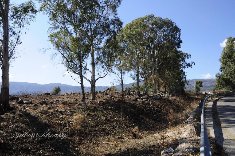
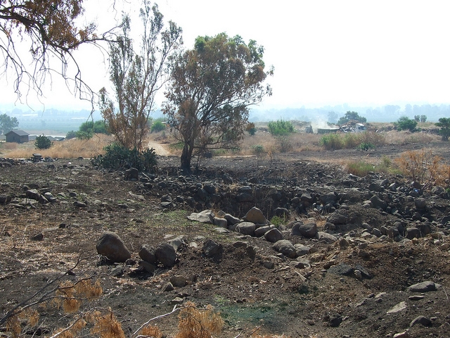
The Village Today
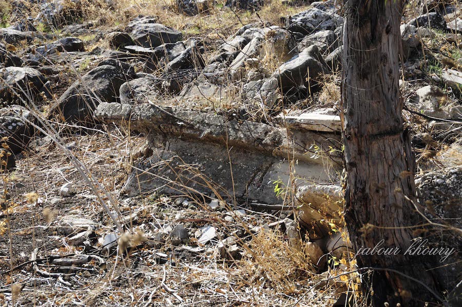
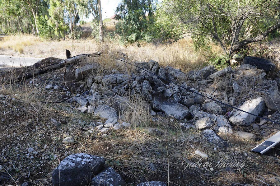
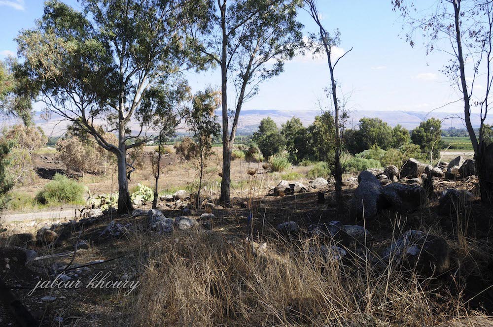
Only one house remains; it is made of stone and serves as an office for an airstrip. The grass and wild vegetation that cover the site are mowed. Tall al-Wawlyat is being excavated at the southern edge of the site, and a fenced-in area, containing a large number of cactuses and tall eucalyptus trees, lies west of the tell. A new airstrip is under construction northeast of the village site.
----------------------------
Source: al-Khalidi, Walid (ed.). All that remains: the Palestinian villages occupied and depopulated by Israel in 1948. Washington DC: 1992
Images