Info
District: Safed
Population 1948: 2130
Occupation date: 11/05/1948
Occupying unit: Palmah 1st battalion
Jewish settlements on village/town land before 1948: None
Jewish settlements on village/town land after 1948: None
Background:
al-Khalisa Before 1948
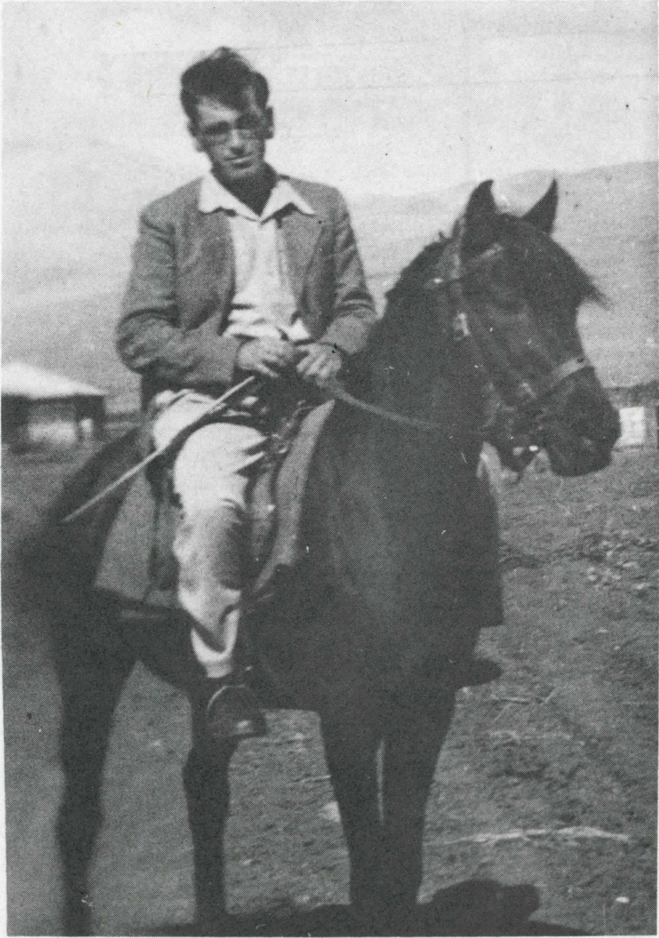
The village was located on a low hill on the northwestern edge of the al-Hula Plain—a location that spared it from the periodic floods of Lake al-Hula.. It overlooked the plain on the north and the south. A1-Khalisa was on a highway that led from al-Mutilla in the north to Safad and Tiberias in the south, near the Lebanese border. Its proximity to Lebanon and Syria gave the village special significance as a commercial center. In 1596, al-Khalisa was a village in the nahiya of Jira (liwa’ of Safad) with a population of 160. It paid taxes on a number of crops, including wheat and barley, as well as on other types of produce and property, such as beehives, water buffalos, orchards, and a water-powered mill. In the late nineteenth century, Europeans passing through the area described al-Khalisa as a small village built of stone and situated on a plain. Surrounded by streams, the village had a population of about fifty. The Bedouin of the al-Ghawarina clan were the original founders of the village and constituted most of the population. Temimi and al-Katib (1916) described the generous reception accorded to them by the head of the tribe and the large guest house with rug-covered floors in which they were received.
The houses of al-Khalisa were made of bricks and basalt stones, cut from the hillside. In 1945 its population consisted of 1,820 Muslims and 20 Christians. Al-Khalisa had a boys’ elementary school, which also admitted students from neighboring villages, and a village council that administered its affairs. The villagers drew their drinking water from several springs. They derived their income from both agriculture and commerce. In 1944/45 they planted 3,775 dunums in cereals; 5,586 dununis were irrigated or used for orchards. The villagers held a weekly market in which goods from al-Khalisa and neighboring villages were sold.
Occupation and Depopulation
On 11 May 1948, the Haganah rejected al-Khalisa’s request for an “agreement”, and Israeli historian Benny Morris reports that the village felt threatened and decided to leave. In addition, they would have heard that their district capital, Safad, had been captured that same day. Given that Operation Yiftach’s commander Yigil Allon intended to expel as much of the area’s population as possible during the offensive, it is not surprising that the Haganah rejected the offer of a truce. Zionist forces probably moved into the village shortly afterwards, as part of their general offensive in eastern Galilee, which was called Operation Yiftach ( see also Abil al-Qamh, Safad District). Plan Dalet had originally called for the occupation of the Brrrritish police station in the village, but it is not clear when the order was carried out.
Villagers interviewed in later years by Palestinian historrian Nafez Nazzal gave a more detailed picture of the occupation. They said they fled from their homes after hearing news of the fall of Safad and sought refuge in Hunin, to the northwest. But the village militia remained for a few days, until it was heavily shelled from the Jewish settlement of Manara and saw an armored unit approaching the village. The militiamen retreated through the hills—Zionist forces controlled the roads—and made their way to Hunin. Eventually, the villagers were displaced from there to Lebanon. In later weeks, a few of them decided to return in order to dig up money they had buried in their land, or to harvest some of their tobacco and grain. They reported that the Israeli forces had burned and destroyed many of the houses. “The village was in ruins,” said one villager who returned briefly.
Israeli Settlements on Village Lands
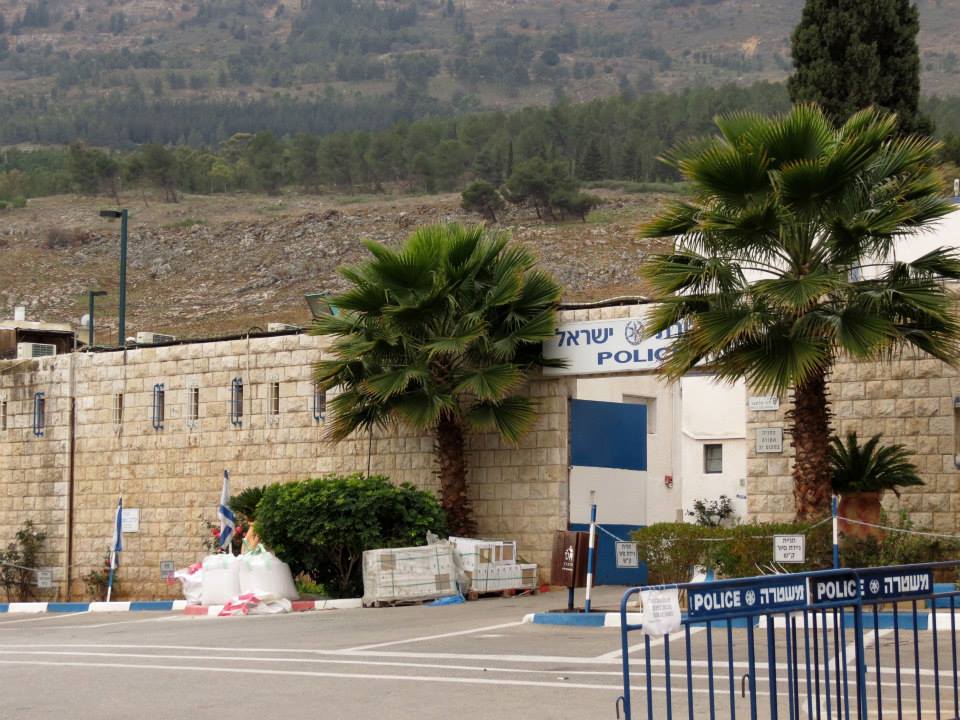
The settlement of Qiryat Shemona was established in 1950 on the village site.
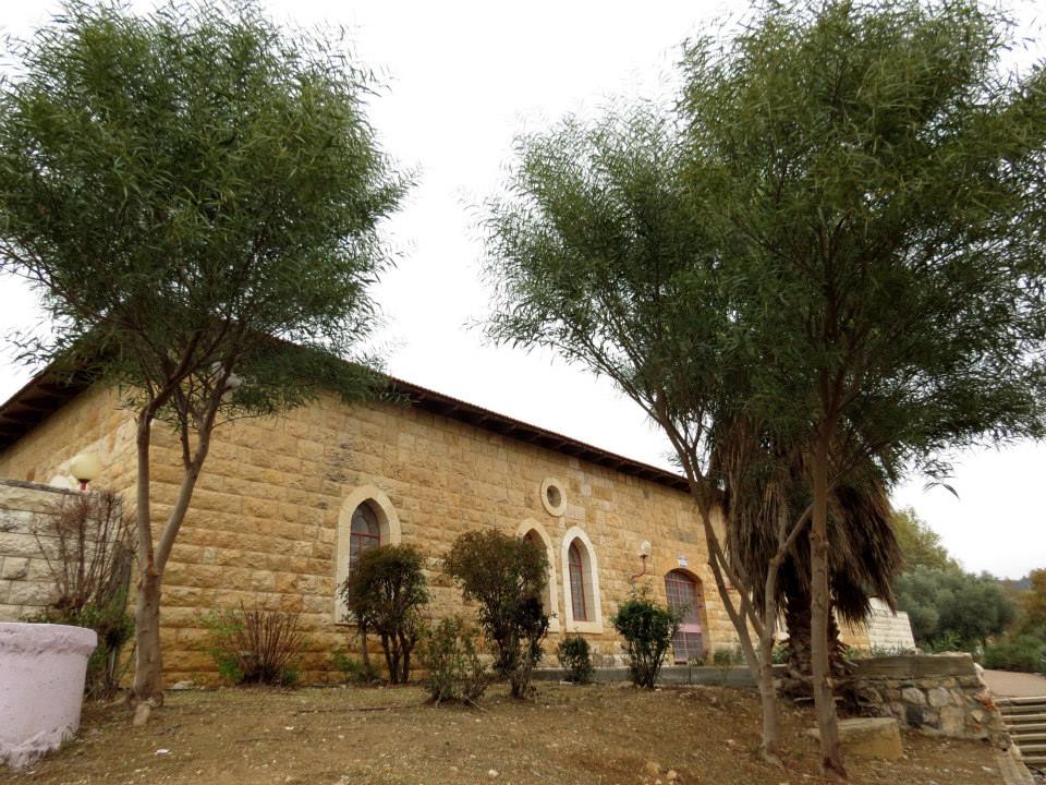
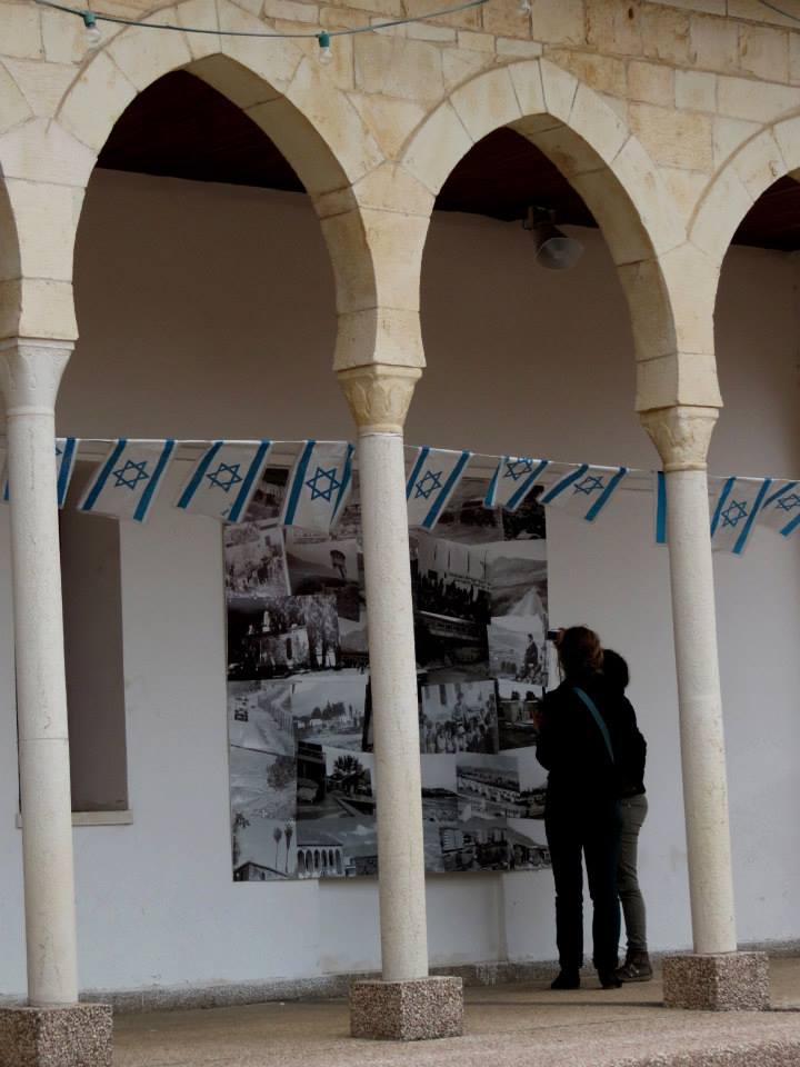
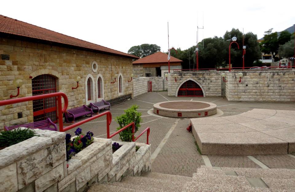
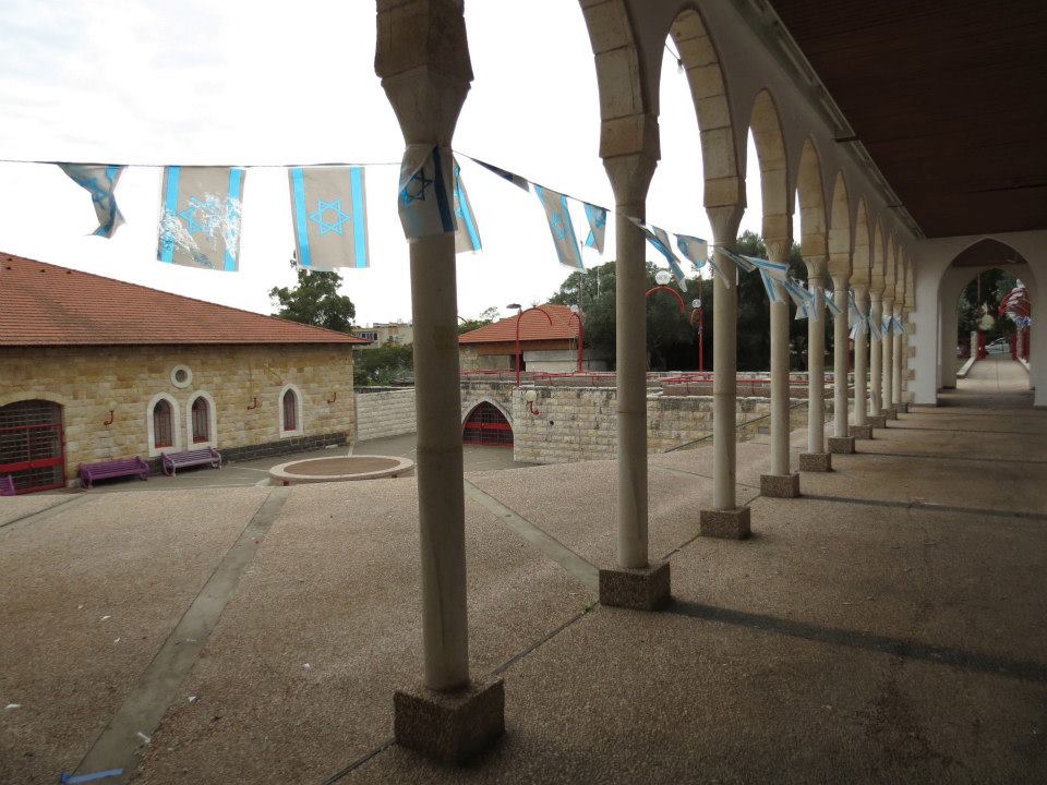
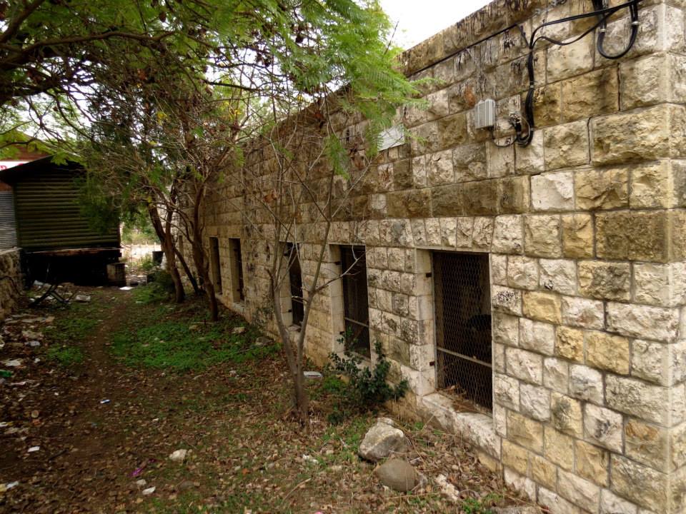
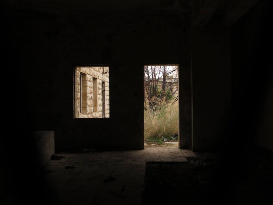
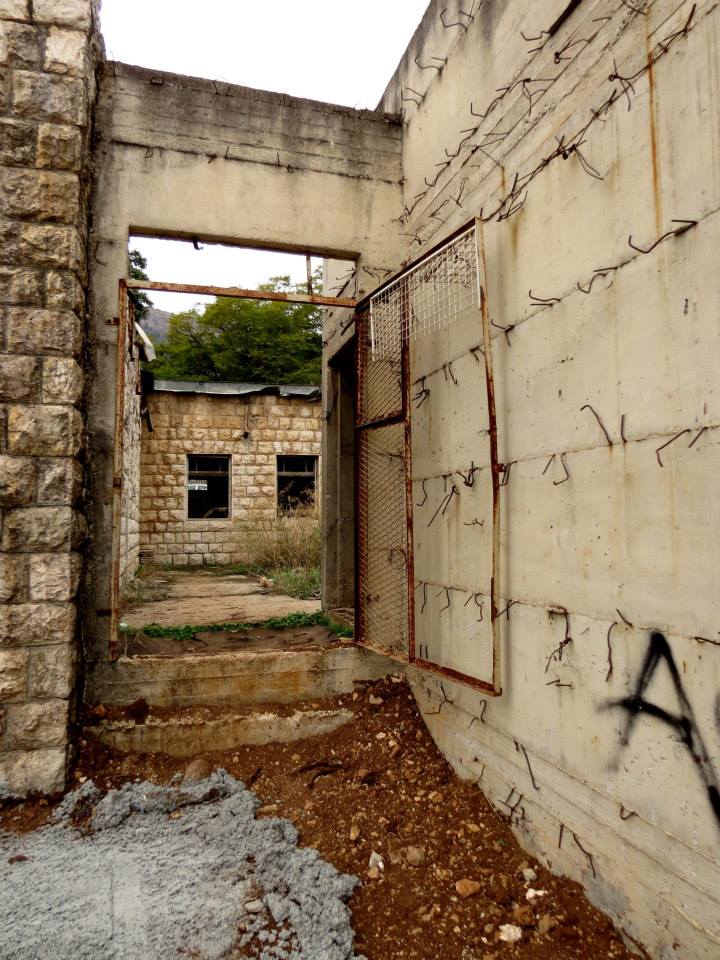
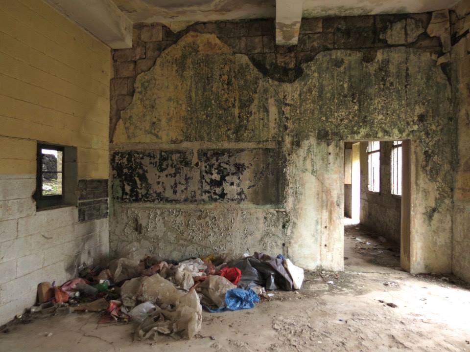
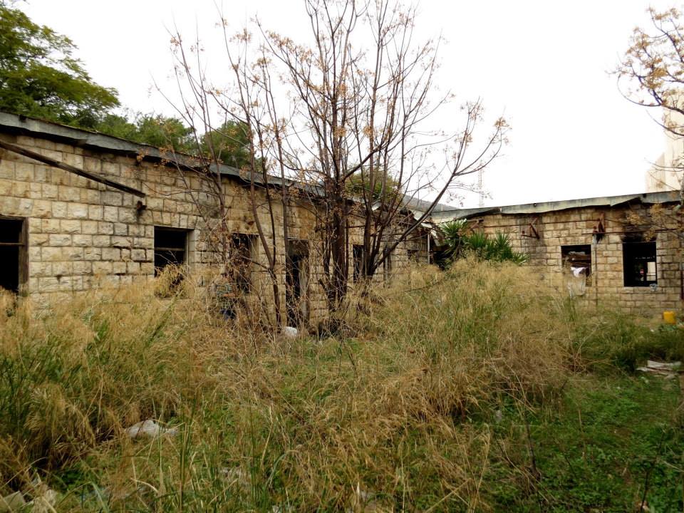
The Village Today
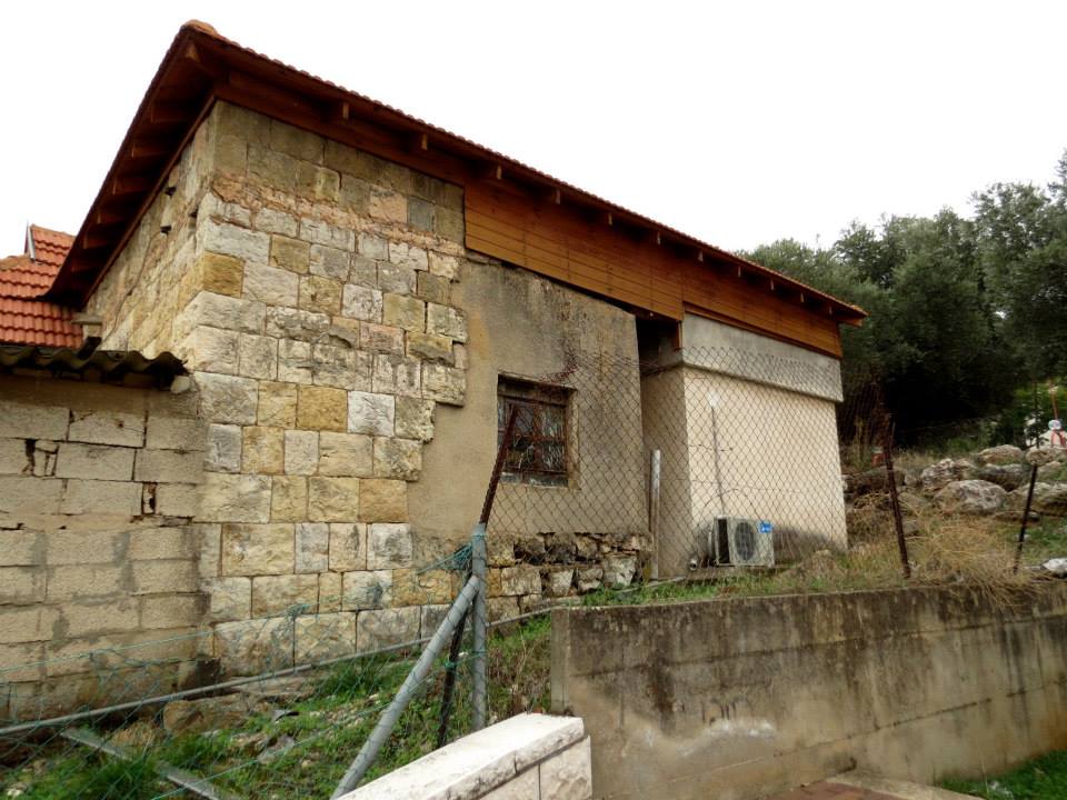
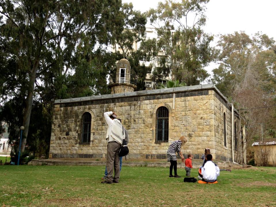
Stone rubble from the houses marks the site. The school and the Mandate government’s office buildings stand abandoned, as does the village mosque and minaret. The level land surrounding the site is cultivated by the settlement of Qiryat Shemona, while the mountainous areas are either used as pastures or are wooded.
--------------------------
Source: al-Khalidi, Walid (ed.). All that remains: the Palestinian villages occupied and depopulated by Israel in 1948. Washington DC: 1992.
Images


Videos
Booklets
Others
Publications