Info
District: Safed
Occupation date: 01/05/1948
Occupying unit: Palmah 1st battalion
Jewish settlements on village/town land before 1948: None
Jewish settlements on village/town land after 1948: None
Background:
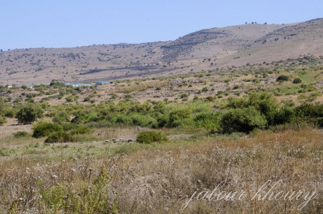
al-Hamra’ Before 1948
The village, classified as a hamlet by the Palestine index Gazetteer, was located on the lower slopes of the Golan Heights. It overlooked the al-Hula Plain on all sides except the east and faced the village of al-Muftakhira, about 1 km to the northwest Wadi al-Dufayla, which drained the Golan Heights, flowed between the two villages in a northeast-southwest direction, turning sharply to the south below al-Muftakhira.
Occupation and Depopulation
Israeli military intelligence claimed that the residents of al-Hamra’, fearing an attack by Zionist forces, fled in panic on 1 May. The residents of Khiyam al-Walid and Ghuraba (1 km southeast and 3 km south of the village, respectively) left their villages on the same day. Al-Hamra’ was seized during Operation Ylitach (see Abil aI-Qamh, Safad District). No mention is made of the villagers’ destination or the ultimate fate of the village itself.
Israeli Settlements on Village Lands
The settlement of Shamir, established in 1944, is about 2 km northeast of the site; it is not on village lands.
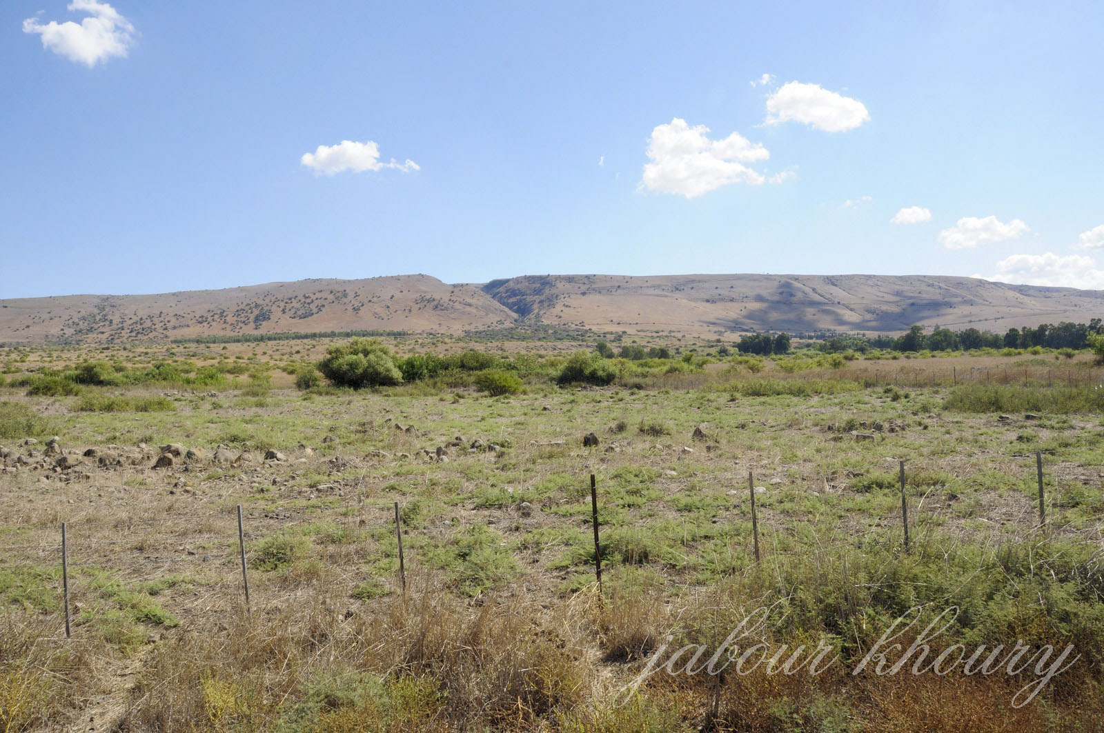
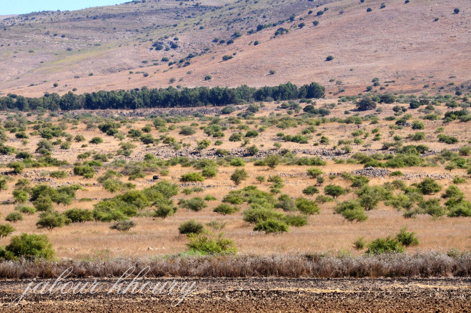
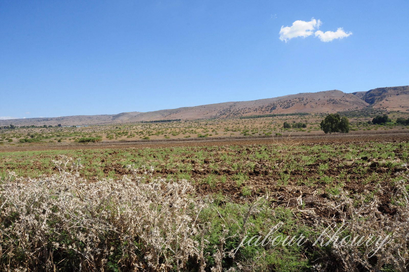
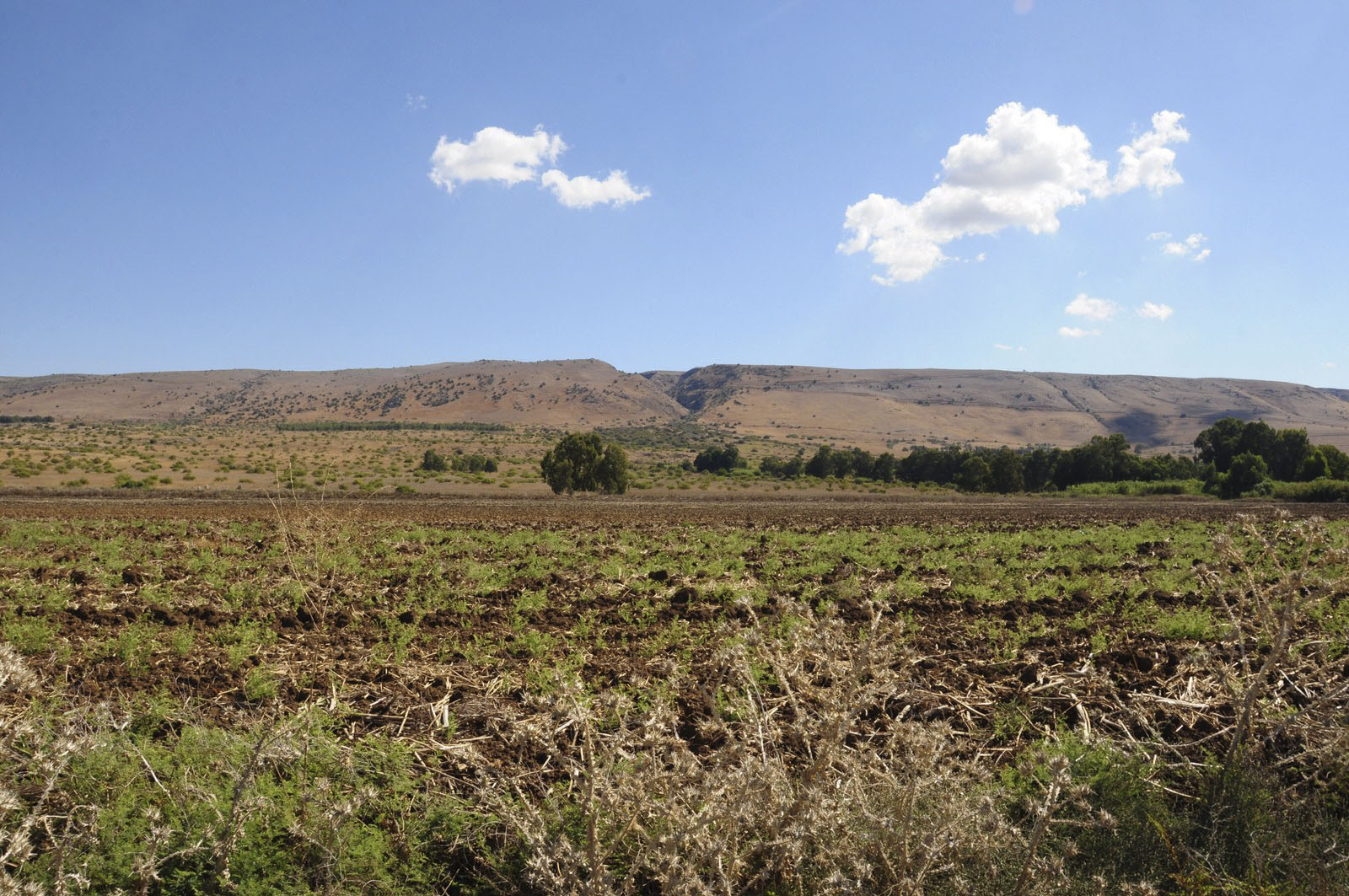
The Village Today
The entire site is fenced in and serves as an Israeli cow pasture.
Two houses built of stone without mortar stand on the site. The remains of some black basalt walls are also visible.
------------------------
Source: al-Khalidi, Walid (ed.). All that remains: the Palestinian villages occupied and depopulated by Israel in 1948. Washington DC: 1992.
Images