
Info
District: Haifa
Population 1948: 1070
Occupation date: 12/04/1948
Occupying unit: palmah
Jewish settlements on village/town land before 1948: None
Jewish settlements on village/town land after 1948: Military Training Base
Background:
Al-Kafrayn Before 1948
Al-Kafrayn ('the two villages' in Arabic) was located in an open landscape of gentle slopes and shallow wadis, about 6 km north of Wadi 'Ara and 29.5 km from Haifa. A secondary road led northwest to the Haifa-Jinin highway. It was rectangular in shape, with its longest side extending from east to west. The residents of the village were Muslim, they built their houses of mud and cement, and they maintained a mosque and a boys' elementary school which was established around 1888. The lands of al-Kafrayn contained about ten wells and springs, and its economy was based on cattle-breeding and agriculture, with grain as the main crop. The village contained a number of ruins that revealed its long history, such as the foundations of buildings, columns, and tombs.
Occupation, Depopulation, and Israeli Settlements
Zionist forces claimed to have occupied the village on 12 April 1948, and Arab Liberation Army (ALA) records indicate that Arab forces withdrew from an area just west of al-Kafrayn the following day. The Palmach attack on al-Kafrayn was part of an operation launched after the battle of Mishmar ha-'Emeq. When Jewish Agency Chairman David Ben-Gurion and the Haganah command rejected the ALA's offer of a ceasefire in that battle, they also decided to attack and destroy about ten villages near the settlement, including al-Kafrayn, which, according to the New York Times, was the largest. A 12 April Haganah broadcast was quoted by the New York Times as saying that it was the fifth village around Mishmar ha-'Emeq to be occupied by their forces.
According to historian Benny Morris, the village was partially destroyed during its occupation, but final demolition was postponed for a week, due to the Palmach's plan to use the village to train units to fight in built-up areas. On 19 April, the Haganah General Staff was informed: 'Yesterday company exercises in fighting in built-up areas took place south and east of Mishmar Ha'emek. At the end of the exercises, the village of el Kafrin was blown up completely.'
No Israeli settlements are on village lands, but some of these lands are occupied by a military training camp.
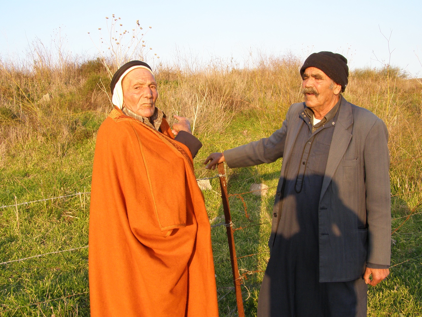
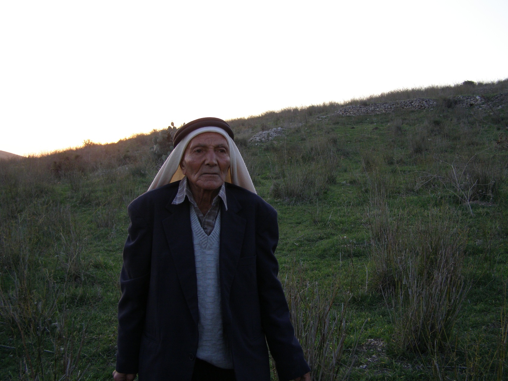
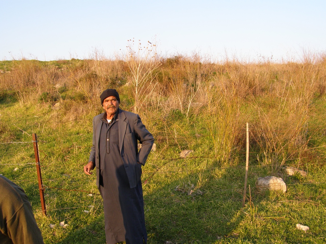
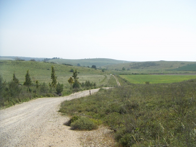
The Village Today
The site and its surrounding area are divided between a military training camp and a cow pasture. A rubble-filled area has been fenced in and is covered with dirt, underbrush, and thorns. Almond, olive, and fig trees are scattered around the site.
-------------------------
Source: al-Khalidi, Walid (ed.). All that remains: the Palestinian villages occupied and depopulated by Israel in 1948. Washington DC: 1992.
Images
Videos
Booklets

Others
Publications

Locality tours
Locality activities