
Info
District: Akka (Acre)
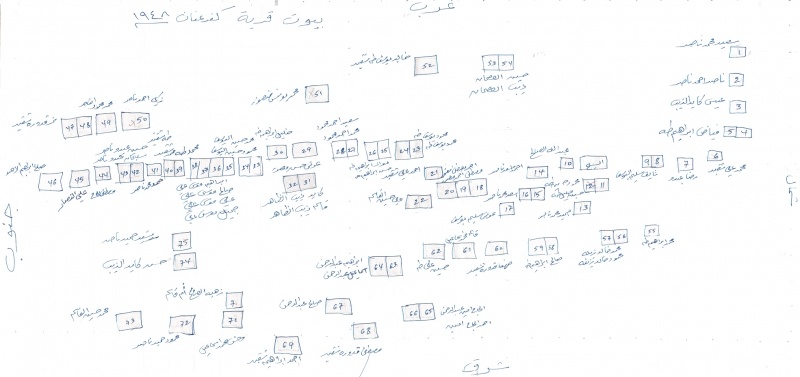
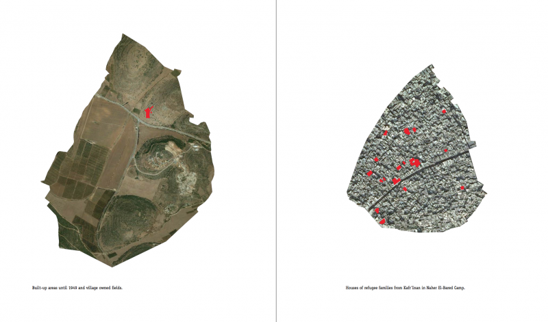
Population 1948: 420
Occupation date: 01/10/1948
Jewish settlements on village/town land before 1948: None
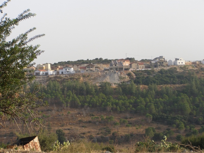
Jewish settlements on village/town land after 1948: Kfar Hananya
Background:
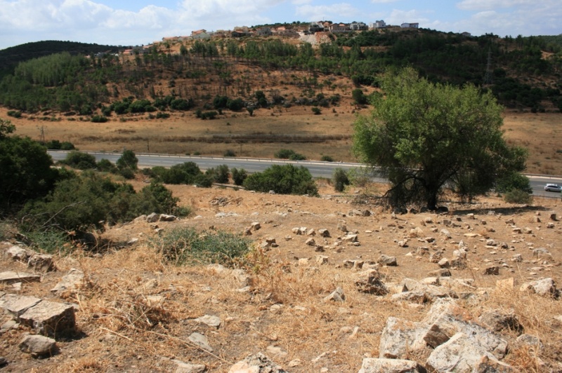
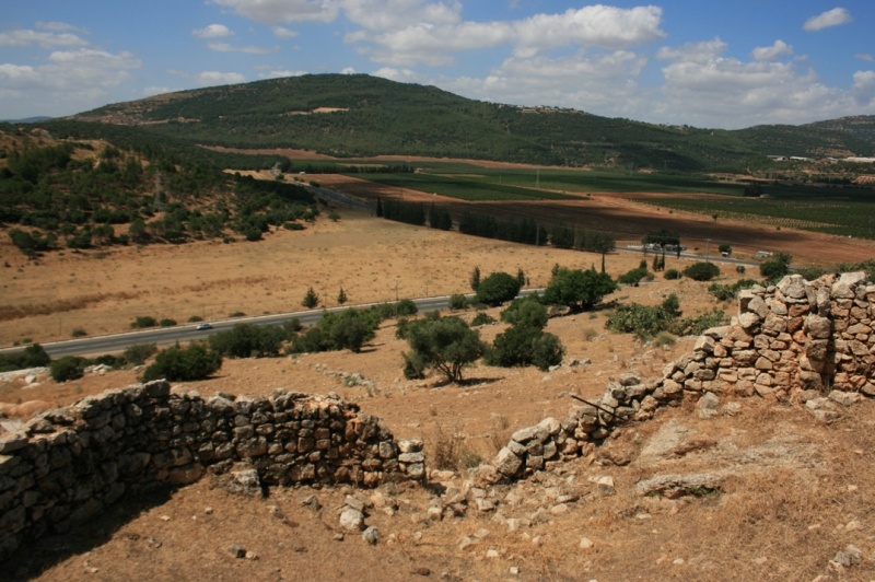
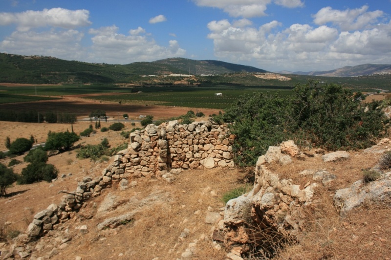
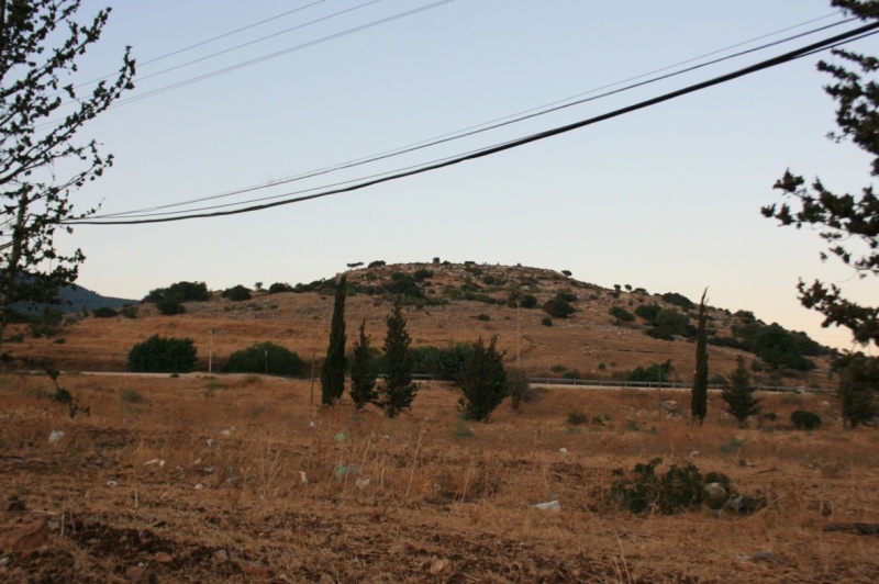
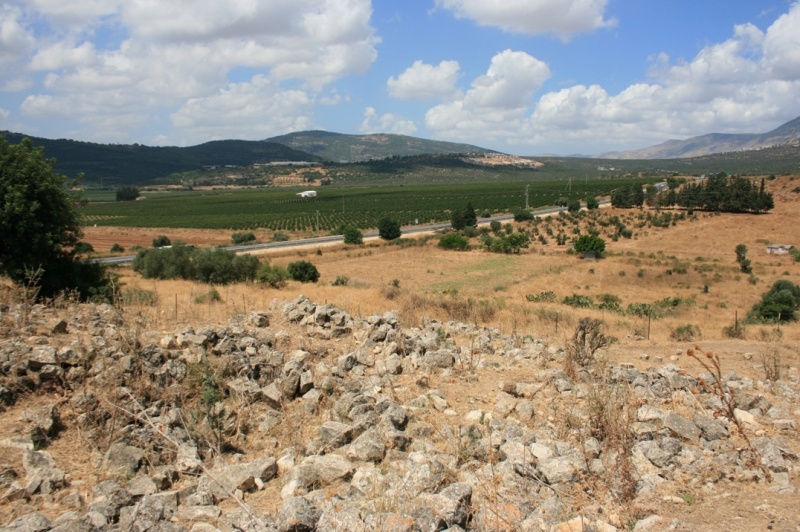
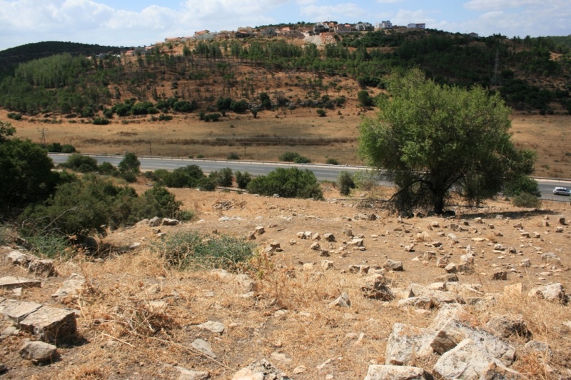
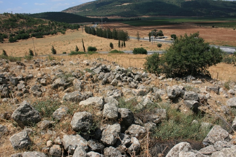
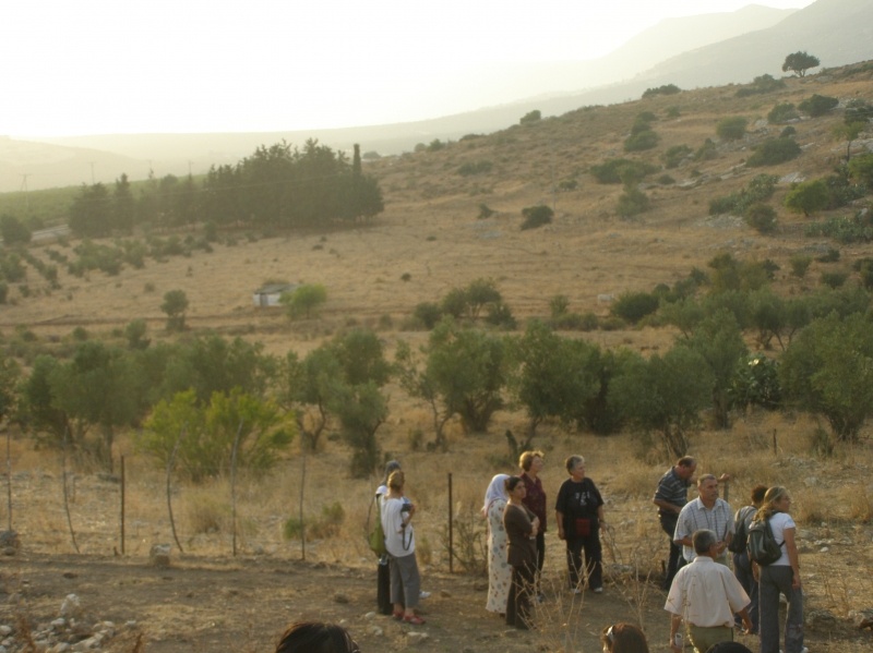
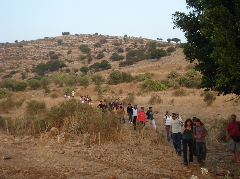
The village was situated on the lower slopes of the al-Zabul Mountains, at the place where they tapered off toward the south and became the al-Ramla plain. A secondary road linked it to a nearby highway thatthat went from Acre to Safad. It was located 33 km west of Acre.
Although Kafr 'Inan was probably overrun in Operation Hiram at the end of October 1948, the villagers stayed put, refusng to be pusheed out like most of the popultaion of the area. Units of the Golani Brigade probably forced their way into the village on 30 October, moving northwards in pursuit of retreating forces from the Arab Liberation Army. But Israeli historian Benny Morris finds that they were not expelled and that many remained in their homes for the next few weeks. He also reports, however, that during December 1948 and January 1949, "pressure built up to evict [them]," along with the population of nearby al-Farradiyya and that of Saffuriyya, further south, near Nazareth. The excuse given by Israeli minority affairs minister Bechor Shitrit was that increasing numbers of exiled villagers were "infiltratind" and that if this phenomenon were not halted, Israel would have to "conquer the Galilee anew." But the people of Kafr 'Inan and al-Farradiyya (across the district border, in Safad disctrict) were not evicted until February 1949; half were transferred to villages inside Israeli-controlled territory and the other half were sent to the Triangle area, which was under Jordanian control. The Military Government said the evictions were necessary to assure "security, law and order." The Israeli policy in Galilee was to expel entire villages whenver possible; when this was impractical, the villages were filled up with people from other communities, so that vilalgers who had been displaced could not return.
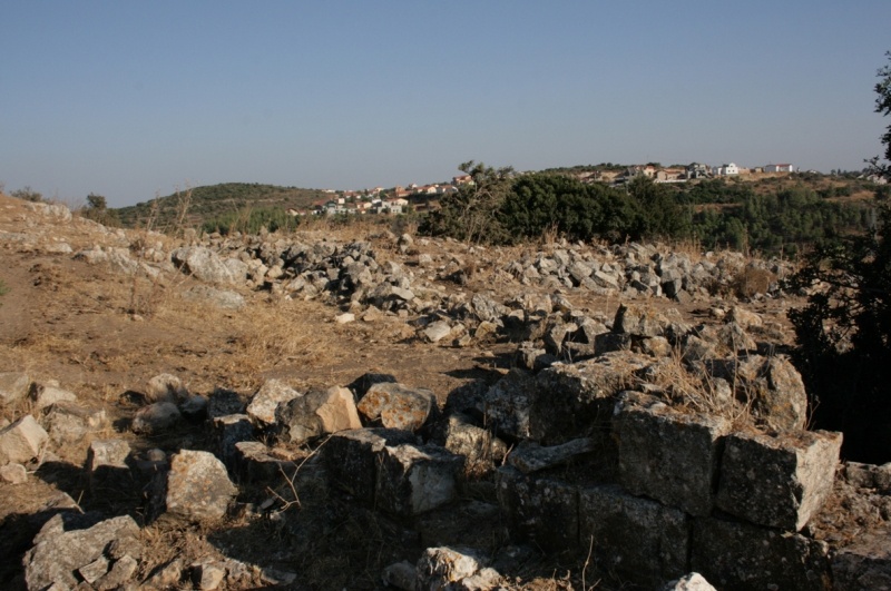
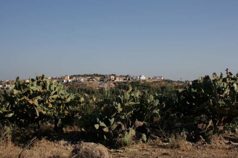
Plans were made by the Jewish Agency to set up the settlement of Kefar Chananya to the south of the site in 1982, but it was established in 1989 on village land. Chazon, built in 1969 on the land of al-Mansura in Tiberias District, and Parod, built in 1949 on the lands of al-Farradiyya in Safad District, are close to the site but are not on village land.
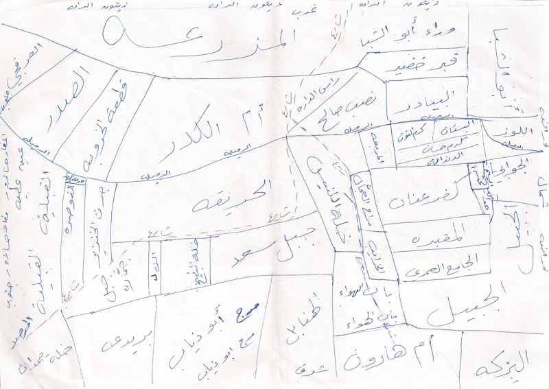
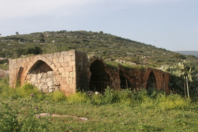
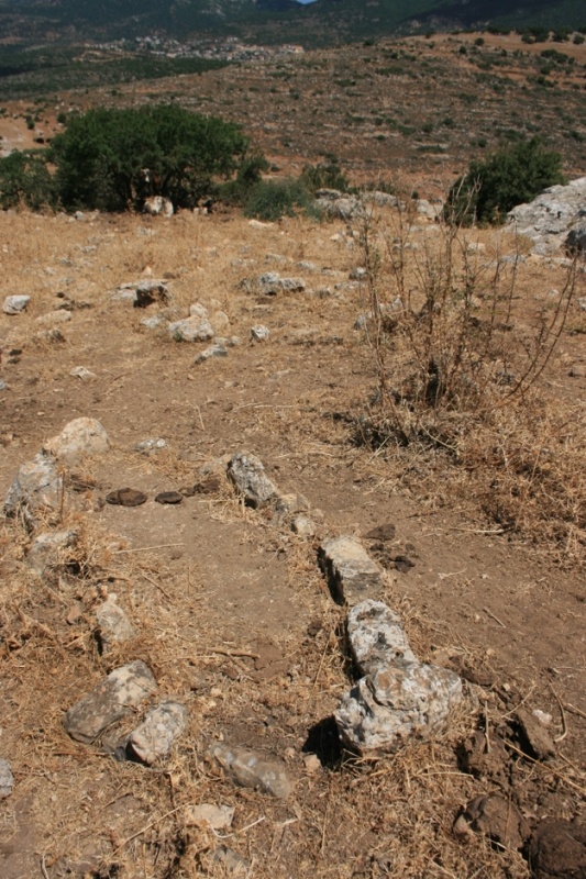
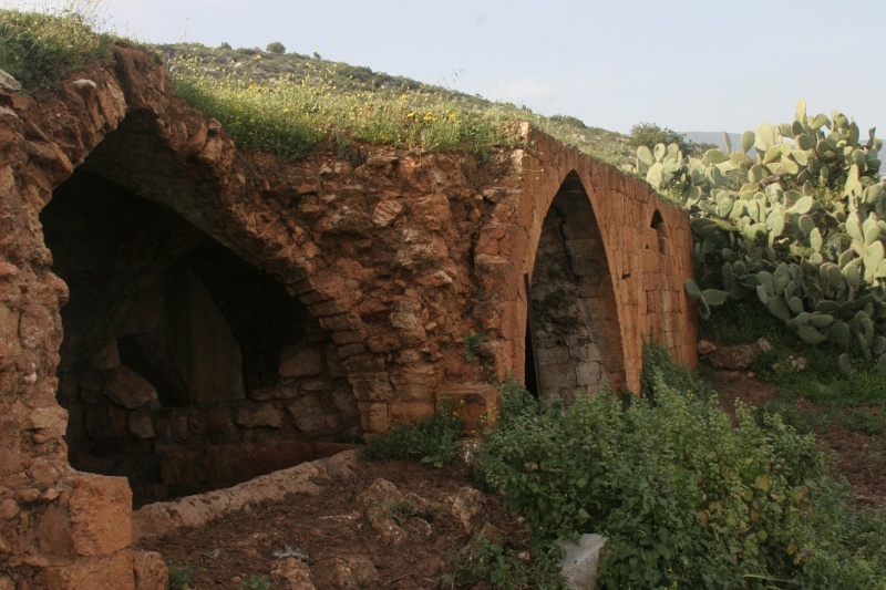
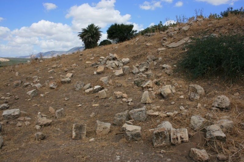
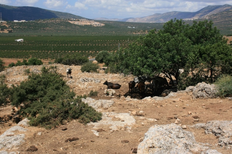
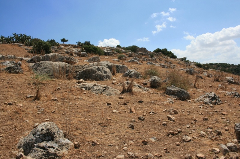
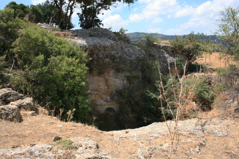
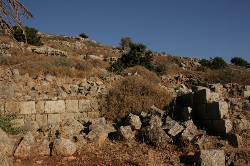
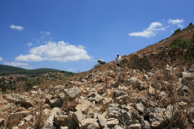
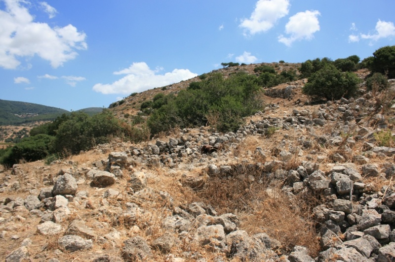
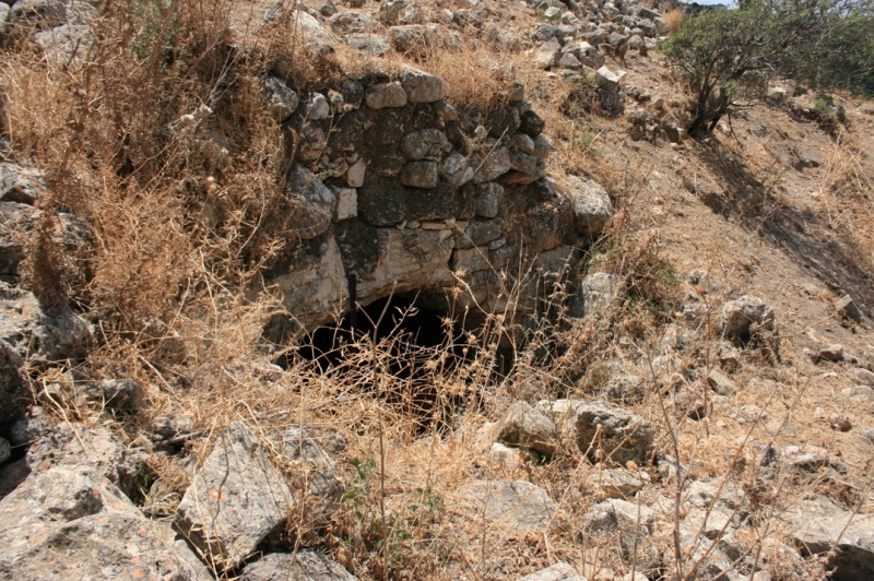
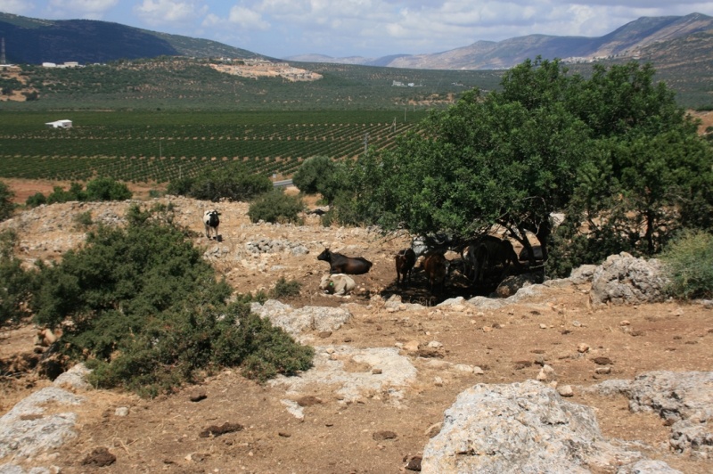
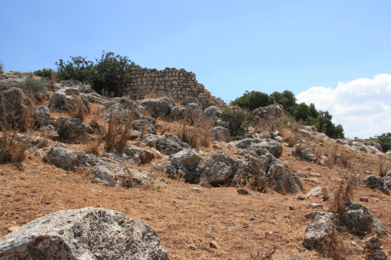
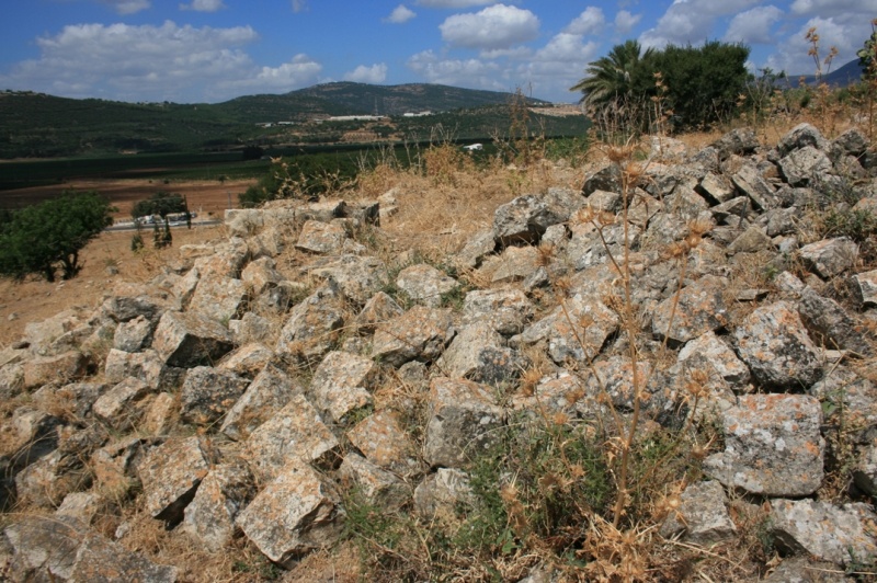
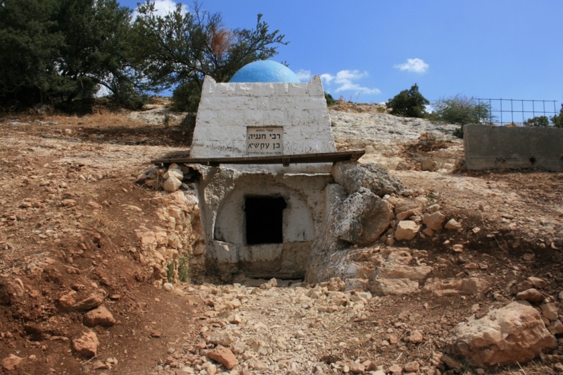
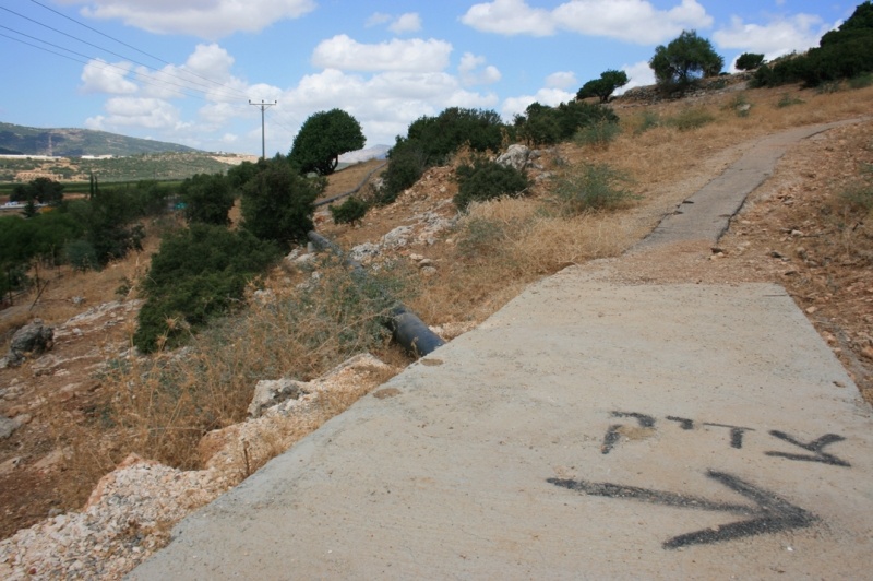
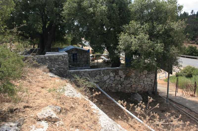
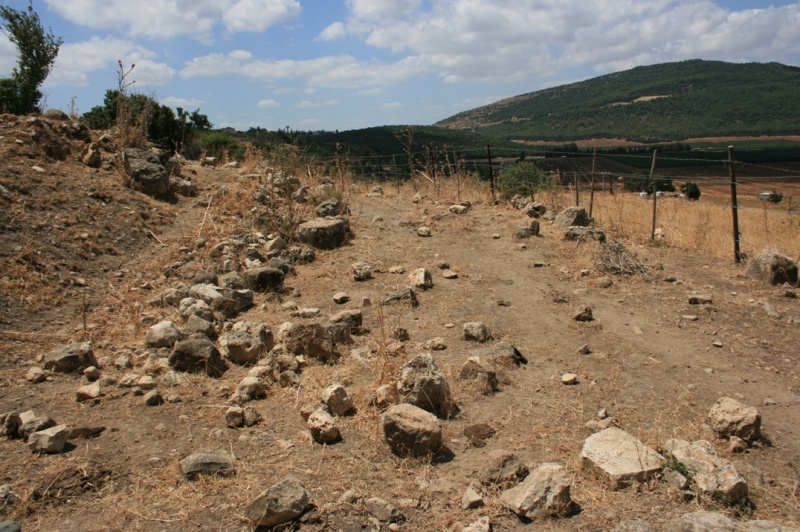
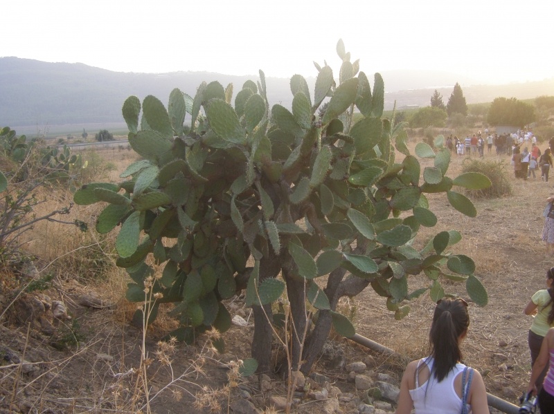
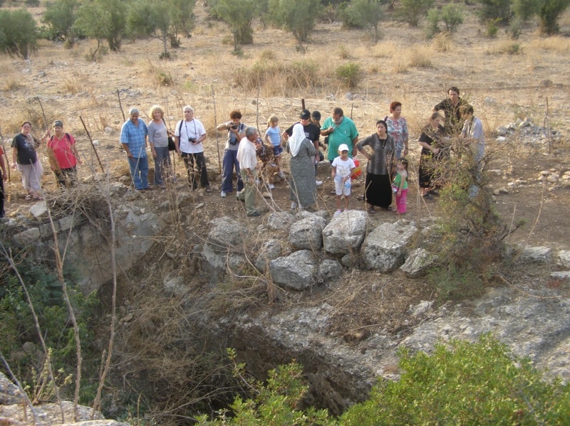
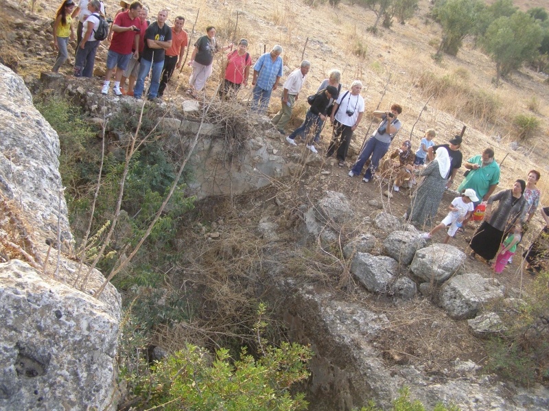
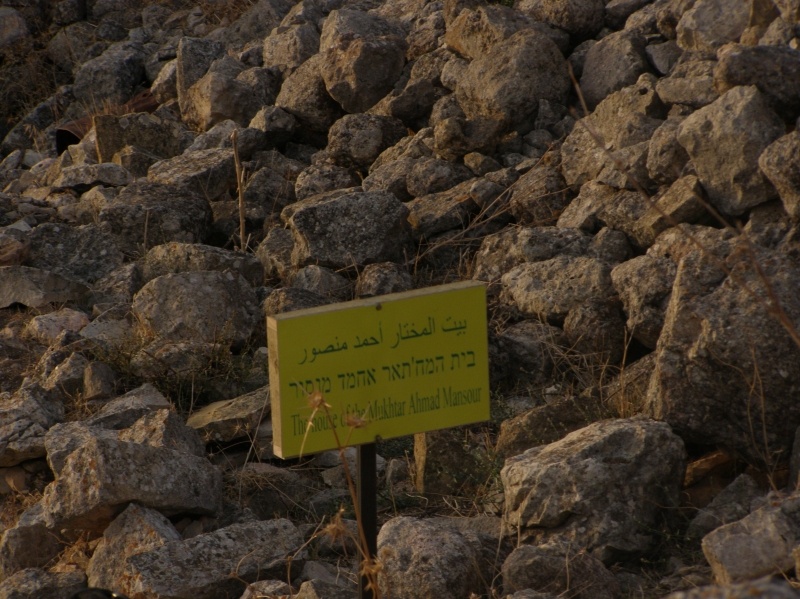
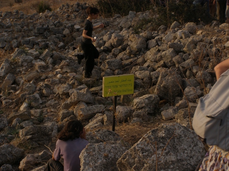
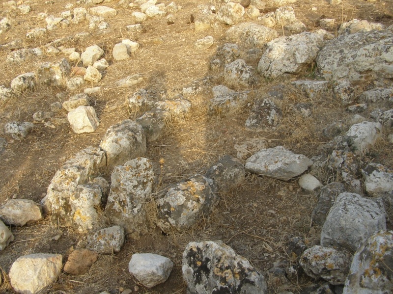
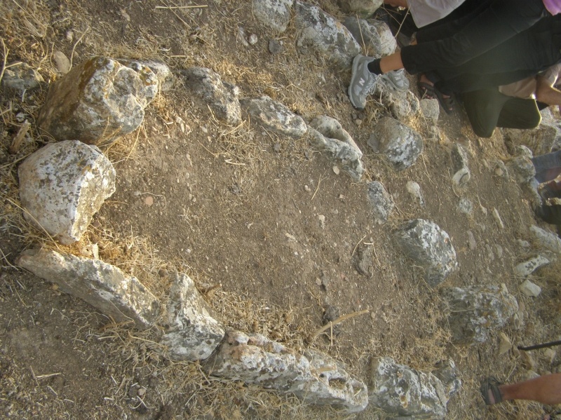
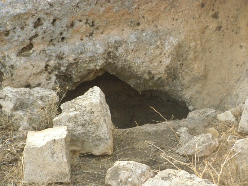
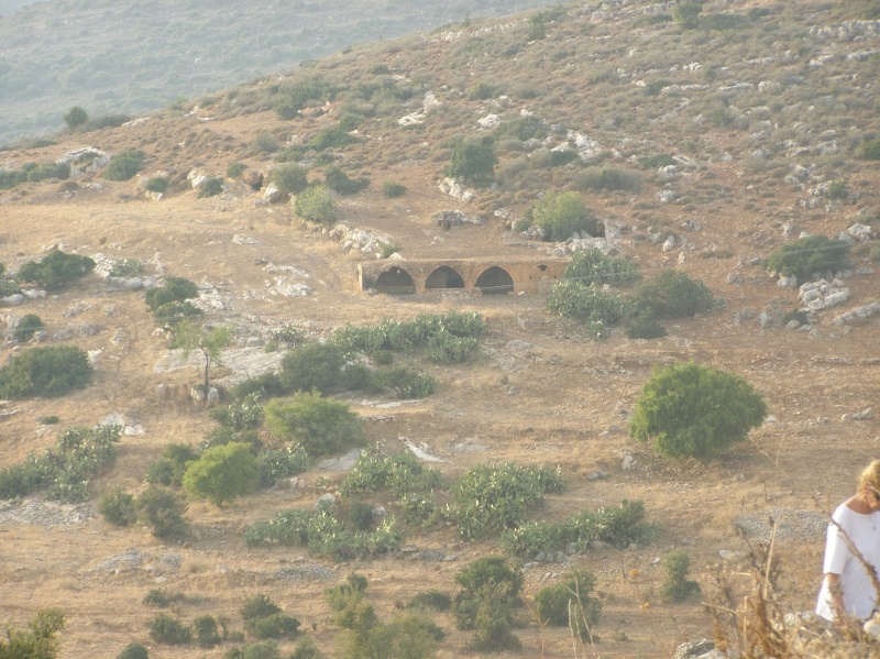
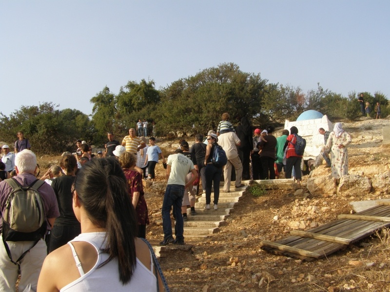
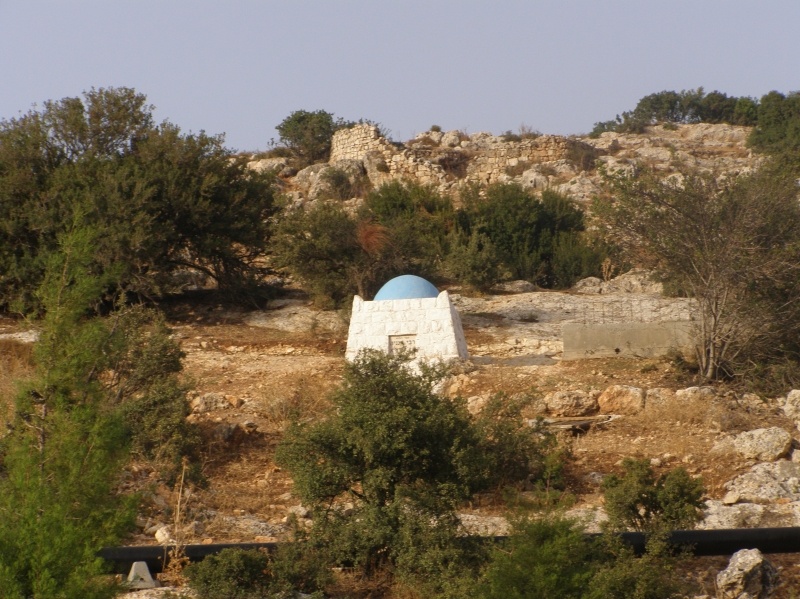
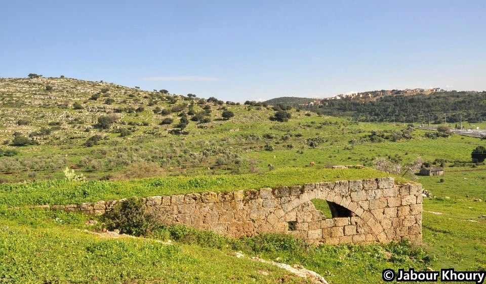
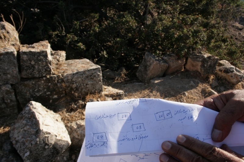
The site is covered with piles of stones that lie scattered around clumps of cactuses and fig trees. There are remains of a domed building on a slope facing the village and the small shrine of Shaykh Abu Hajar Azraq on an adjacent hill to the east. The land aound the site is forested and planted with fruit trees by the settlement of Parod.
Images


Videos
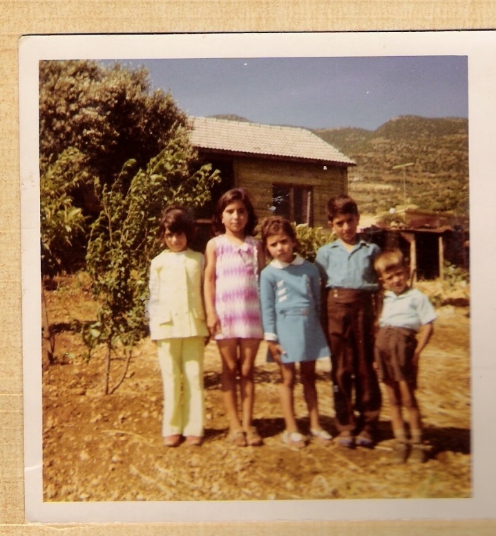
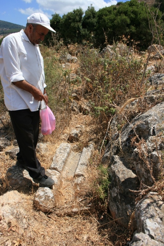
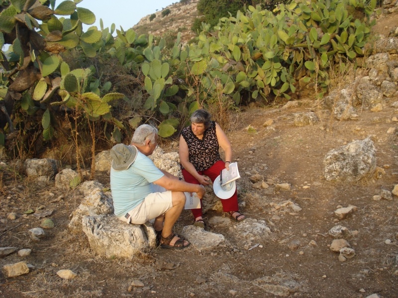
Refugee from Kafr ‘Inan
Refugee from Kafr ‘Inan
Saturday, 3.10.2009
International refugees day, July 20th
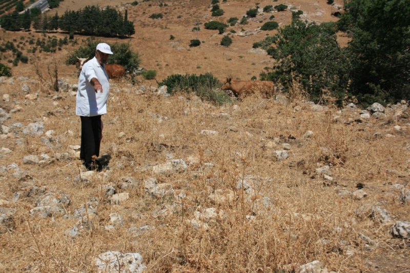
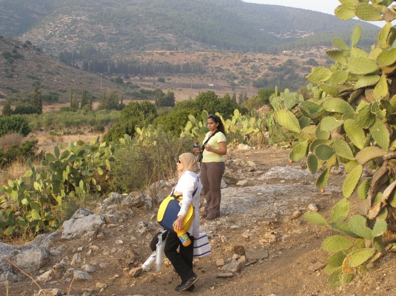
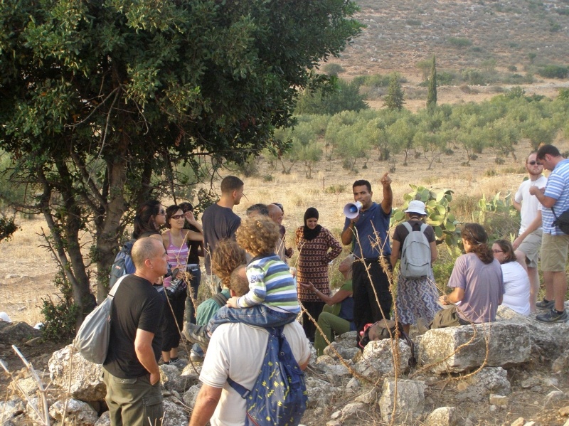
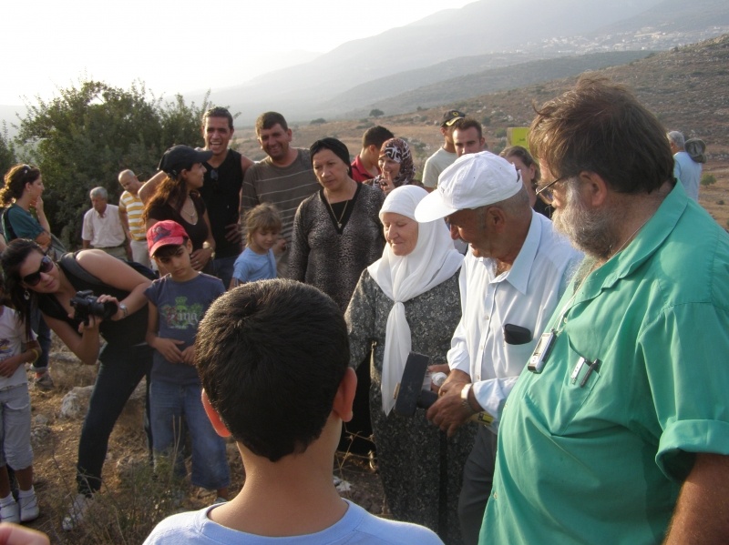
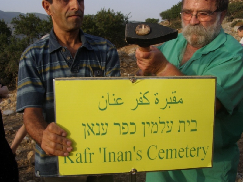
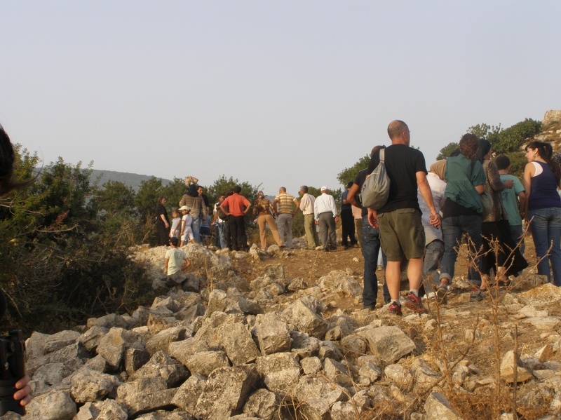
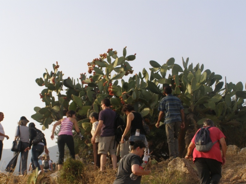
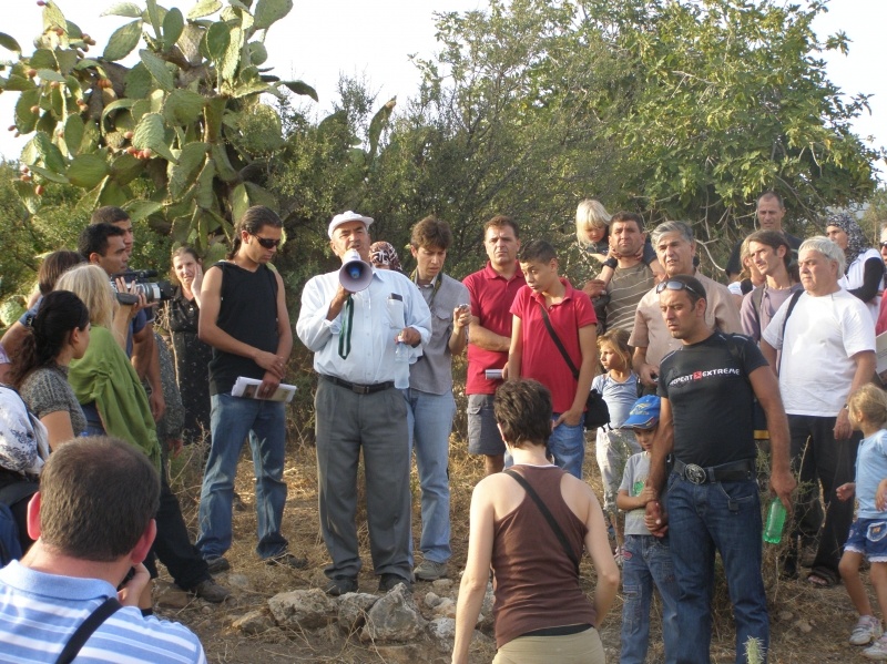
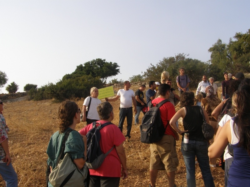
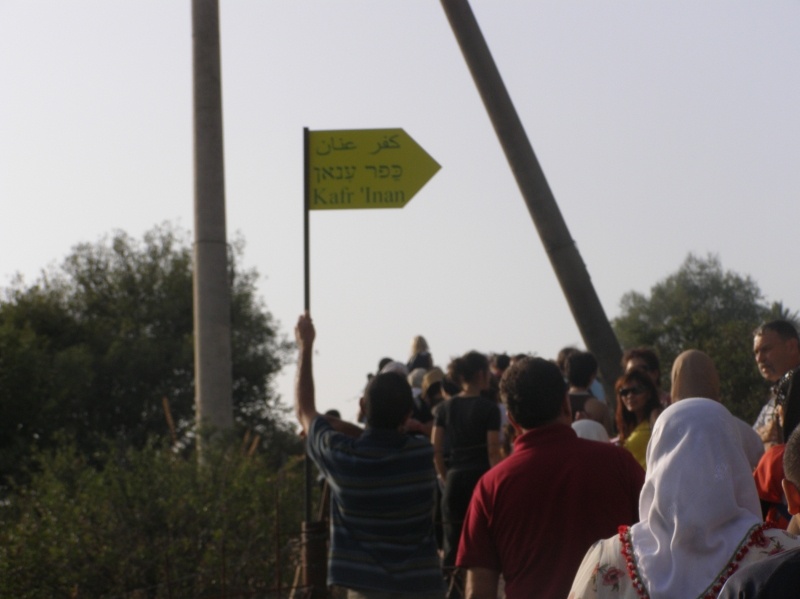
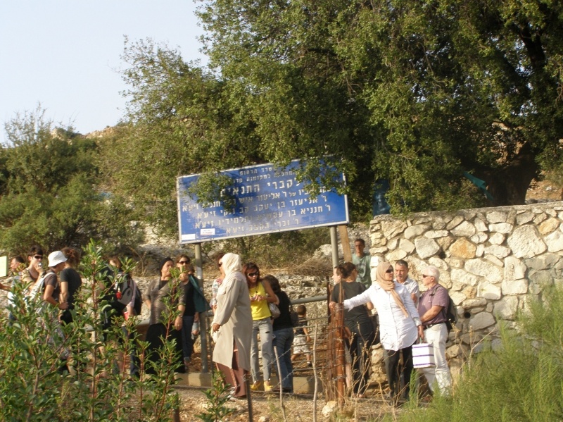
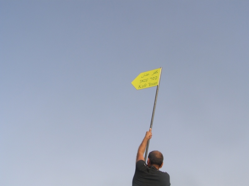
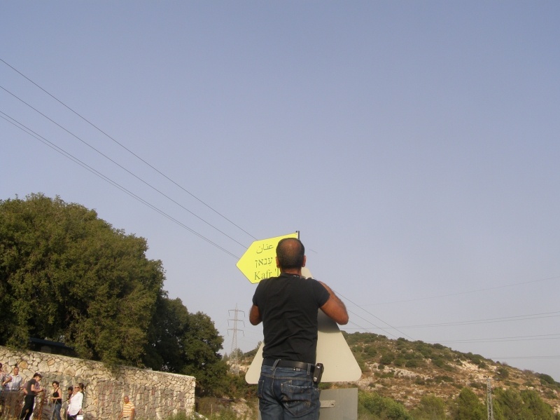
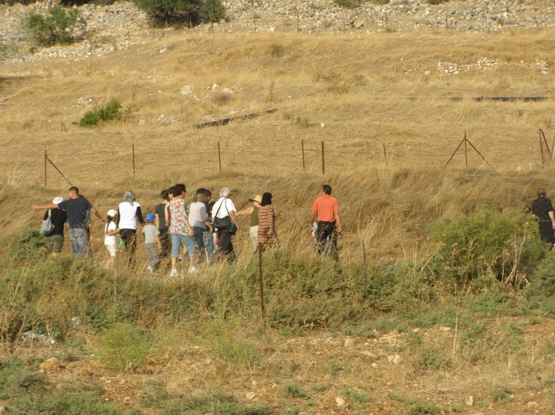
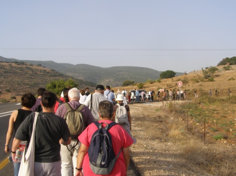
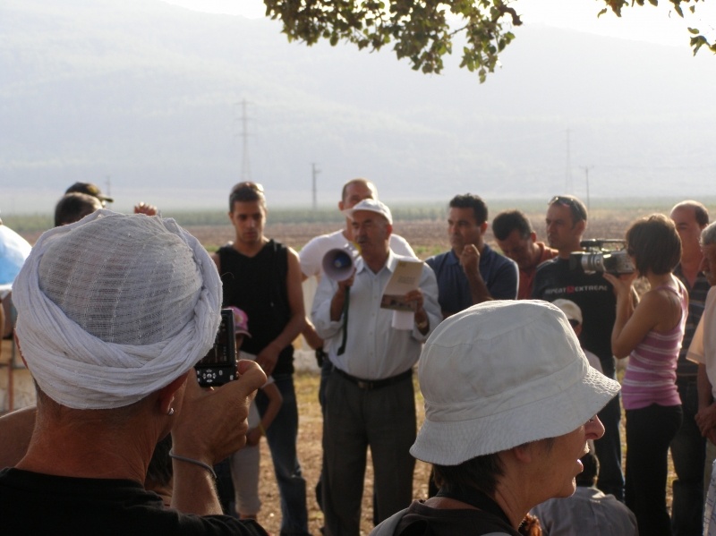
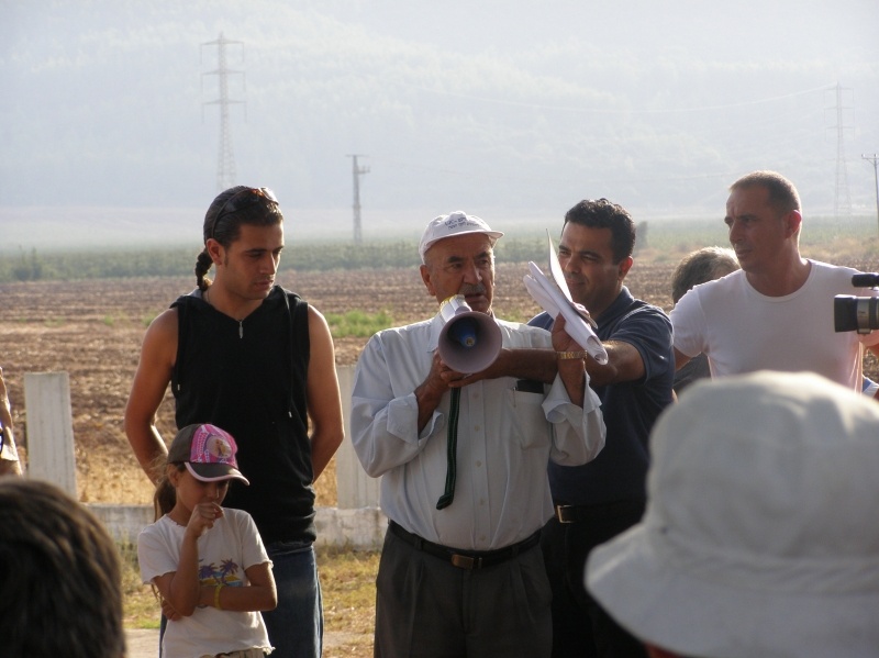
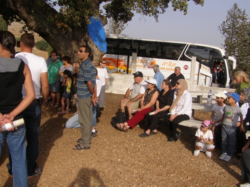
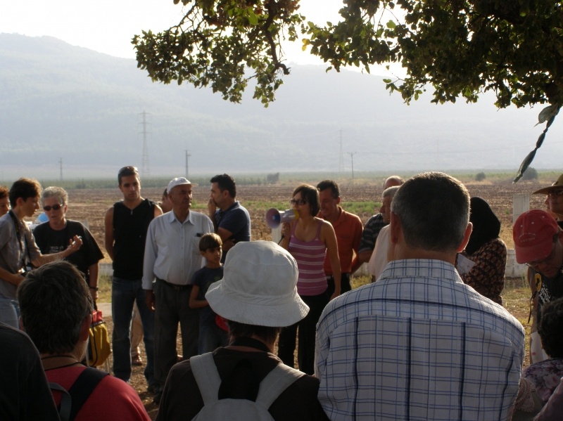
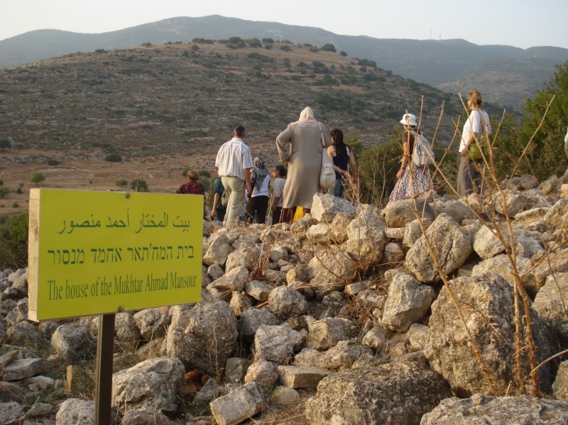
Visiting the destroyed village Kafr `Inan with Hassan Ahmed Mansour - a refugee from Kafr `Inan who lives today in the nearby village Rameh
Booklets
Others
Publications
Locality events

Locality tours