Info
District: Haifa
Population 1948: 240
Occupation date: 01/07/1948
Jewish settlements on village/town land before 1948: None
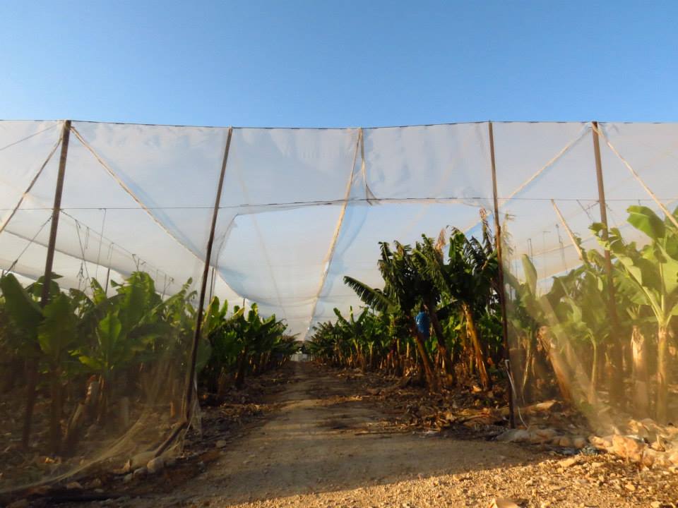
Jewish settlements on village/town land after 1948: Ein Carmel
Background:
Al-Mazar Before 1948
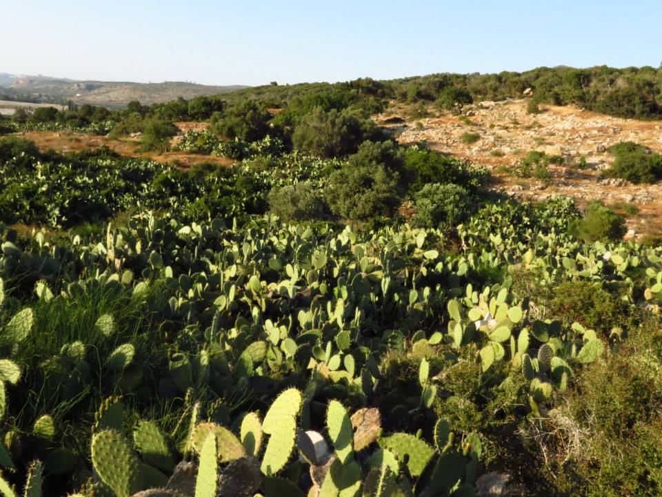
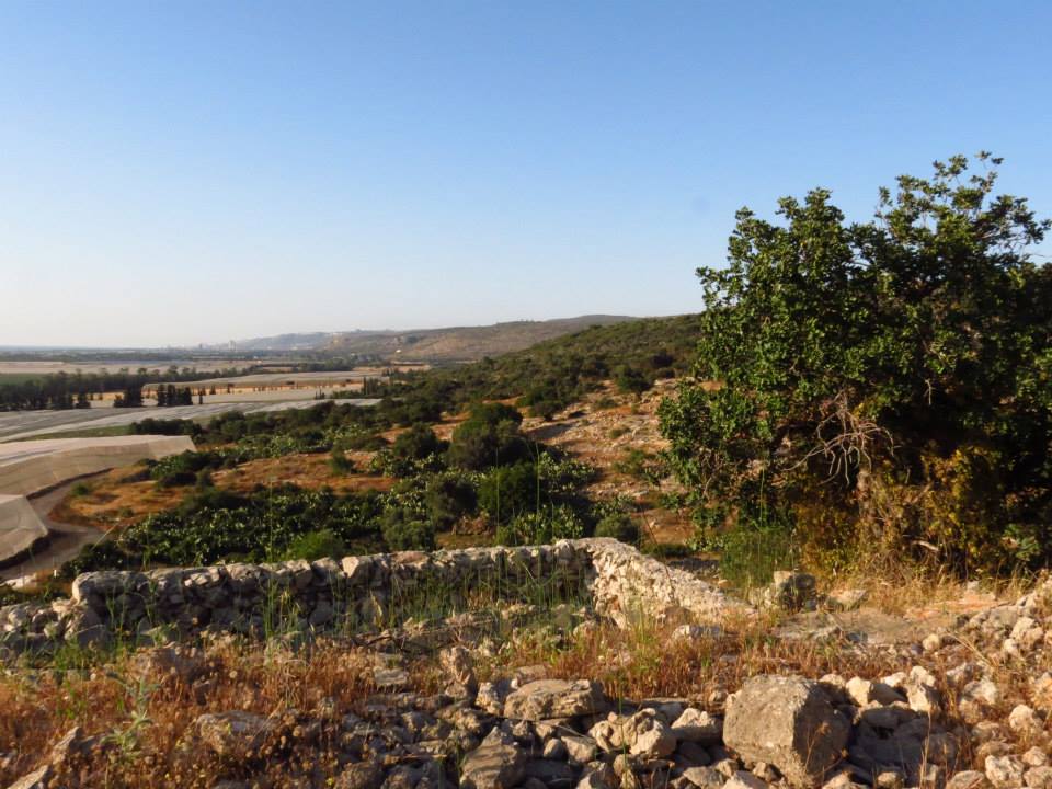
At 15.5 km distance from Haifa, the village stood on the lower western slopes of Mount Carmel, overlooking the narrow coastal plain and the Mediterranean Sea. About one-third of the village's land was on Mount Carmel, with the rest on the coastal plain. The coastal highway passed by its western edge, and the Crusader castle at 'Atlit lay only 2.5 km north of the village. The village's name, which is Arabic for 'shrine' or 'a place that one visits', was probably meant to commemorate the many people who were killed and buried there in the war against the Crusaders. The village layout resembled a square, and its Muslim inhabitants obtained their domestic water from a spring in the southeast. Al-Mazar's economy was based on agriculture and animal husbandry, with grain as the main crop. The site contained archeological artifacts such as pottery fragments, rock-hewn tombs, and cut stones.
Occupation, Depopulation, and Israeli Settlements
Together with al-Tira and 'Ayn Hawd, al-Mazar was probably one of a few villages south of Haifa which eluded capture for around six weeks after the fall of the city in late April 1948. Historian Benny Morris argues that it was occupied in mid-July along with other villages in the immediate vicinity. This occurred in the course of a joint ground and naval operation launched during the Ten Days between the two truces of the war. The villagers may have been expelled, like those of al-Tira. However, that operation failed to occupy all the villages in the area; the Little Triangle (Ijzim, Jaba' and 'Ayn Ghazal) just south of al-Mazar held out for a few more days before succumbing to a massive Israeli assault carried out in violation of the second truce. Hence al-Mazar may also have withstood Israeli attacks until late July.
The settlement of 'En Karmel was established 1 km west of the village in 1947. Some of its buildings are now on village land.
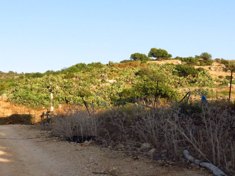
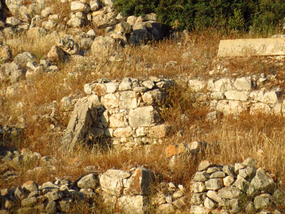
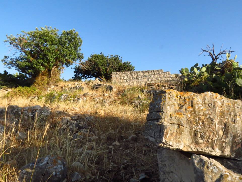
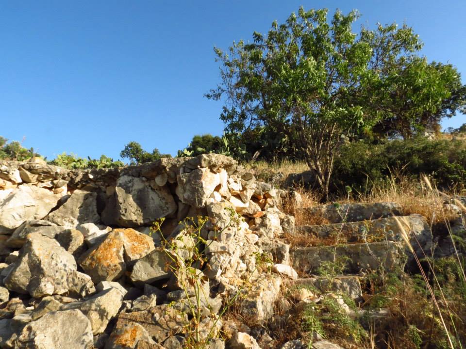
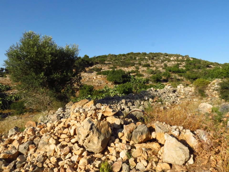
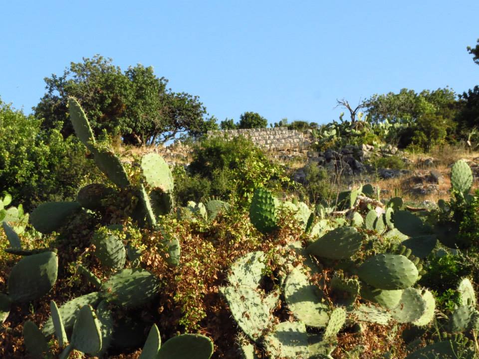
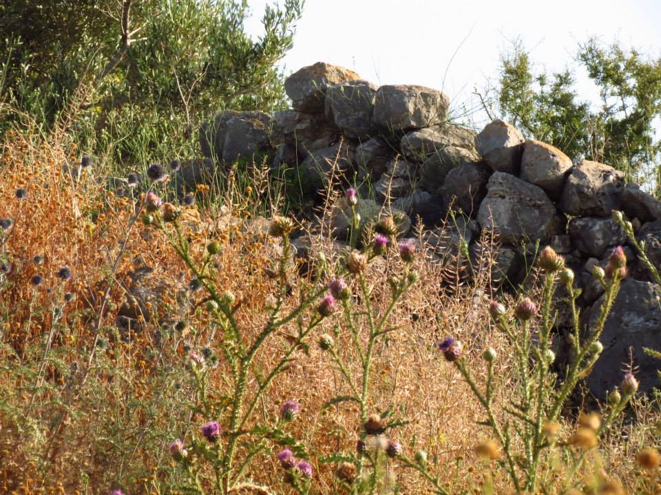
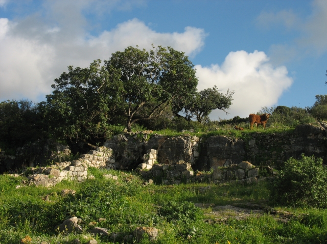
The Village Today
Rubble of stone houses is scattered over the site, which is overgrown with weeds, thorns, cactuses, and fig, pomegranate and mulberry trees. The site is also marked by segments of standing stone walls and the debris of the mosque, which stood until 1983.
----------------
Source: al-Khalidi, Walid (ed.). All that remains: the Palestinian villages occupied and depopulated by Israel in 1948. Washington DC: 1992.
Images