Info
District: Hebron
Population 1948: 630
Occupation date: 17/07/1948
Occupying unit: Giva'ati
Jewish settlements on village/town land before 1948: None
Jewish settlements on village/town land after 1948: Gefen, Tirosh
Background:
Mughallis Before 1948
At a distance of 30.5 km from Hebron, the village extended in an east-west direction on top of a long hill ringed by a shallow wadi. Due to a road passing next to the village, Mughallis had access to Bayt Jibrin and al-Ramla. Its inhabitants were exclusively Muslim, and rainfed agriculture was their main means of livelihood. They were mostly growing grain, but also vegetables and fruit. People from the surrounding villages would come to get water from its well, believed to help dissolve kidney stones.
In addition to the archeological site the village of Mughallis was built on, the nearby Khirbat Ghallus and Khirbat Samra also contained archeological artifacts.
Occupation, Depopulation and Israeli Settlements
Mughallis was taken on 9-10 July 1948 during the first stage of the Operation An-Far, launched by Israeli forces on the southern front during the Ten Days that separated the two truces of the war (8-18 July) [Benny Morris].
The settlement of Gefen was founded in 1955, on village land north of the village site.
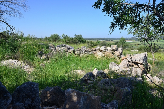
The Village Today
The site itself and the surrounding area have been fenced in. Amidst the levelled debris, one can still see building components. On the east side, remnants of a house are ringed by stone markers that previously delimitated a home garden. Numerous trees, such as olive and carob trees, grow on all sides, and cactuses are found on the northern and southern edges.
------------------------
Source: al-Khalidi, Walid (ed.). All that remains: the Palestinian villages occupied and depopulated by Israel in 1948. Washington DC: 1992.
Images