Info
District: Safed
Population 1948: 150
Occupation date: 01/05/1948
Occupying unit: Palmah 1st battalion
Jewish settlements on village/town land before 1948: Ma'ayan Baruch
Jewish settlements on village/town land after 1948: Ma'ayan Baruch expansion
Background:
al-Sanbariyya Before 1948
The village was located on gently sloping terrain on the northern edge of the al-Hula Plain. Paved roads and tracks linked it to several neighboring villages. Al-Sanbariyya’s houses were not arranged in any particular pattern, but spread along this network of roads. In modern times, the people of al-Sanbariyya, all of whom were Muslims, obtained their drinking water from the nearby springs. They relied on agriculture for their livelihood, growing fruits and vegetables on the north and south sides of the site. In 194/45 a total of 1,739 dunuxns was allocated to cereals; 539 dunums were irrigated or used for orchards. A prehistoric site more than 100,000 years old was found a bit more than 1 km north of the village, on a terrace that was about 100 m higher in elevation than the village. Furthermore, a number of cave-tombs dating to the end of the third milleniurn B.C. were also nearby, on village land. Finally, archaeologists discovered an important inscription, cut into a Roman column, that referred to the Roman Emperor Julian. The column was found just north of al-Sanbariyya, near a Roman bridge that spanned Wadi Hasibani. All of this suggests that the area around the village may have been densely settled in ancient times.
Occupation and Depopulation
Although the date of its occupation is unknown, al-Sanbariyya was probably taken in May 1948. The village lay within the operational area of Operation Yiftach (see Abil aI-Qamh, Safad District), the offensive launched in Upper Galilee in the second half of April 1948. Later in the summer of 1948, a representative of the Jewish National Fund (JNF) toured the area and found that several houses were still standing in al-Sanbariyya, albeit without roofs. (The fact that some houses were roofless implies that the village was subject to a direct attack.) According to Israeli historian Benny Morris, the JNF official instructed the secretariat of the nearby kibbutz of Ma’yan Barukh to destroy the houses immediately. As an incentive, he told them that this would enable the kibbutz to take the village’s lands, as it would prevent the villagers from returning. This was agreed to immediately (and presumably soon carried out). Later, one member of the kibbutz, who described this sequence of events, complained to the leaders of the Mapam party about the destruction, on military grounds. He argued that in border areas, “there is a danger that the Arabs will use [the abandoned villages) for military operations if they get a chance.”
Israeli Settlements on Village Lands
The settlement of Ma’yan Barukh was established in 1947 on village land, just north of the village site. The settlement of Dafna , established in 1939, is about 3 km east of the village. Yuval , established in 1952 on land belonging to the destroyed village of Abil al-Qamh (Safad District), is about 1 km northwest of the site.
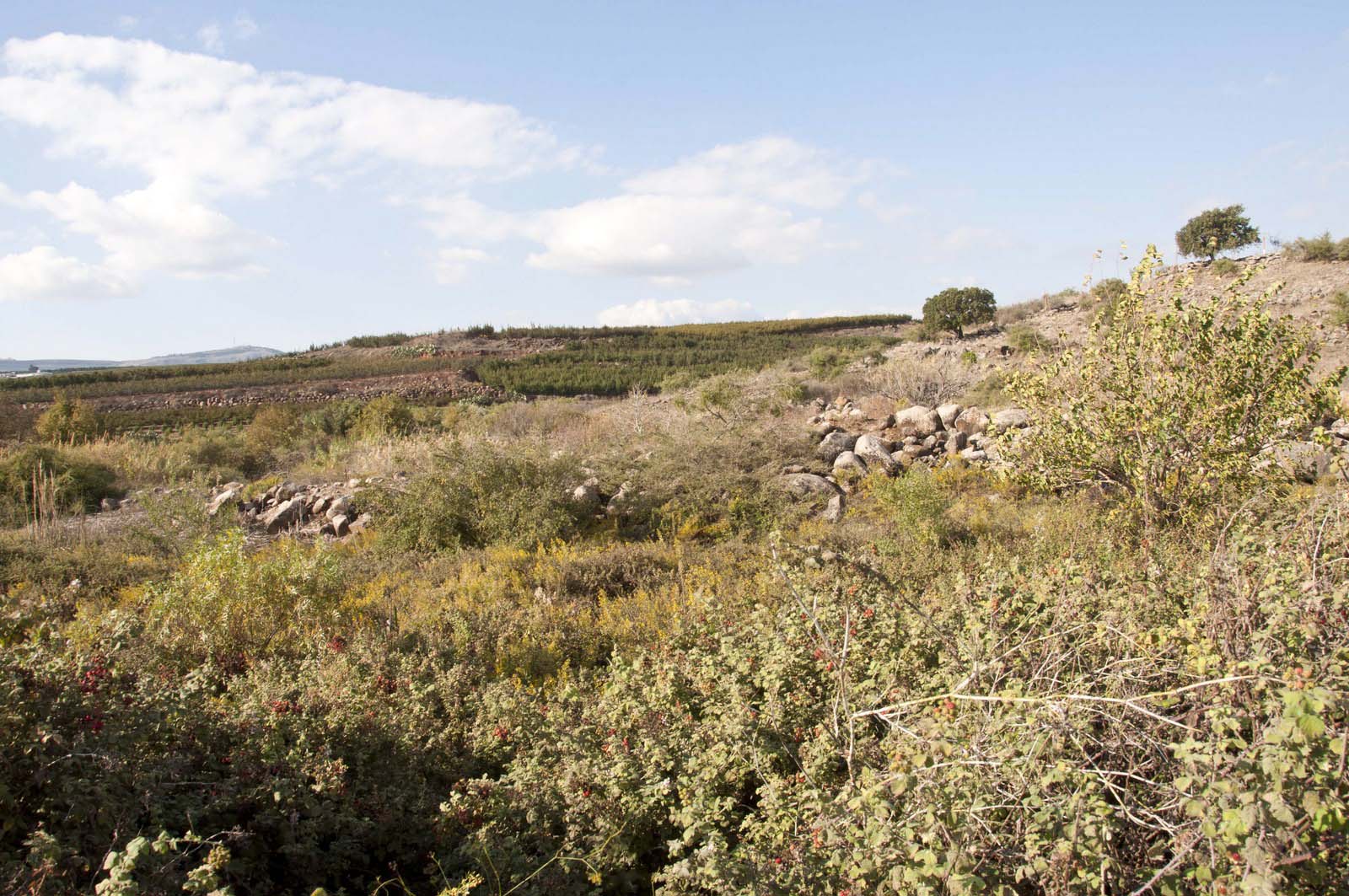
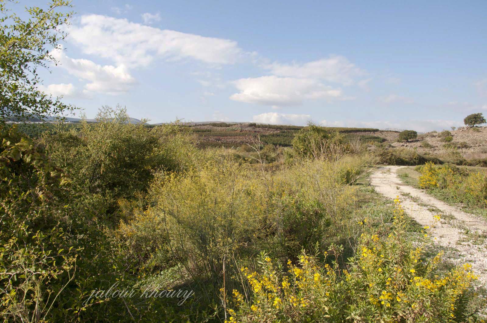
The Village Today
The uneven land of the site is covered by grass and trees, including some old olive trees. No sign of the village remains. The surrounding lands are cultivated by Israeli farmers.
Source: al-Khalidi, Walid (ed.). All that remains: the Palestinian villages occupied and depopulated by Israel in 1948. Washington DC: 1992.
-----------------------------
"We went from house to house forcing everyone out making them walk barefoot across the border into Lebanon. They were barefoot because they were not even given time to put on their shoes or to take their family's belongings with them. Anyone trying to come back to get the family belongings was called an "infiltrator" and shot on sight. (testimony by Ralph Bauman)
Images