Info
District: Nazareth
Population 1948: 5020
Occupation date: 16/07/1948
Jewish settlements on village/town land before 1948: None
Jewish settlements on village/town land after 1948: Tzipori, asolelim, Hoshaya, Hanaton, Alon Hagalil
Background:
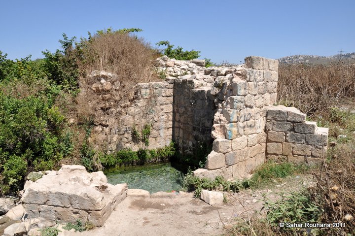
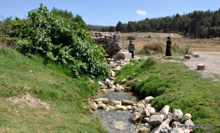
The village of Saffuriyya was located 6 km north of Nazareth. It stood on the southwestern slope of an outcrop of Eocene sedimentary rock that rose about 110 m above the plain to the south. A secondary road linked it to the highway leading to Nazareth and the coastal highway to the northwest. The area around Saffuriyya constituted a gate way to Lower Galilee, a location that had accorded it strategic significance since ancient times.
Israeli accounts of the capture of Saffuriyya emphasize its reputation for resistance to Zionist force. The first mention of an attack on Saffuriyya was made by the New York Times. It quoted an Israeli air force communique that claimed that direct hits were scored on the village on 30 May 1948. It was occupied two weeks later as a prelude to the attack on Nazareth during operation Dekel by an armored battalion of the Sheva' Brigade and two infantry of the Carmeli Brigade. The History of the War of Independence stated that on the night of 15 July 1948, the combined force "reached the outskirts of Saffuriyya after penetrating almost 15 kilometers in enemy territory. (…) Immediately, it closed ranks to launch the attack. (…) The Arabs of Saffuriyya were always known in the Galilee as fierce warriors, but the village fell with almost no fighting because of the extreme surprise." The occupation was complete at dawn. However, Israeli historian Benny Morris indicates that the village "put up strong resistance to the IDF advance"; as a result, he suggests, Saffuriyya was levelled and its inhabitants expelled. He also writes that the village "had strongly supported Qawuqji's troops (i.e. the Arab Liberation Army) and had a history of anti-Yishuv behavior (1936-1939)."
The people of Saffuriyya later recounted a version of events that does not correspond exactly to either Israeli account. They told Palestinian historian Nafez Nazzal that their village had been bombed by three Israeli planes during the night of 15 July, dropping "barrels filled with explosives, metal fragments, nails, and glass." The bombs killed and wounded a number of villagers, and many fled to the orchards for covers. The village militia remained fighting haphazardly. One participant stated: "we were disorganized. (…) We fought independently, every man for himself. There was no communication or coordination among us." The battle was soon over, and by morning many of those hiding out in orchards decided to leave, going northwards or eastwards. Villagers reported that a small number of people remained in the village and that only a few managed to return for belongings. But Israeli sources claim otherwise; Morris states that those remaining were expelled in September 1948, but "hundreds infiltrated back" in the following months, so that the "Jewish authorities feared that if the infiltrees were left in place, the village would return to its pre-war population of 4,000. Besides, neighboring Jewish settlements coveted Saffuriyya lands." One senior settlement official stated in November 1948: "Next to Nazareth is a village (…) whose distant lands are needed for our settlements. Perhaps they can be given another place." Consequently, Morris states, the inhabitants were loaded on trucks in January 1949 and expelled again to the Arab communities of 'Illut, al-Rayna, and Kafr Kanna. Beginning in February, some of the village lands were given to the kibbutz of ha-Solelim. Morris states that the settlements of Sde Nachum and Cheftzi-Bah also got portions of the village land.
The agricultural settlement of Tzippori, located # km southeast of the village site, was founded on village land in 1949. The settlement of ha-Solelim, also founded in 1949 on village land, is west of the site. More recently, three settlements have been established on village land: Allon ha-Galil, built in 1980; Hosha'aya, built in 1981; and Chanton, built northwest of the village site in 1984.
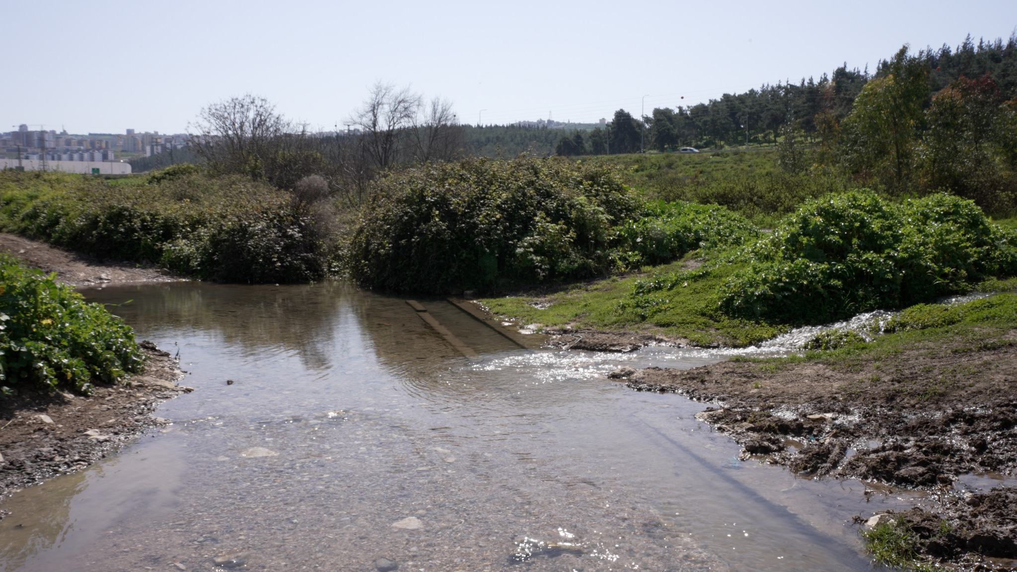
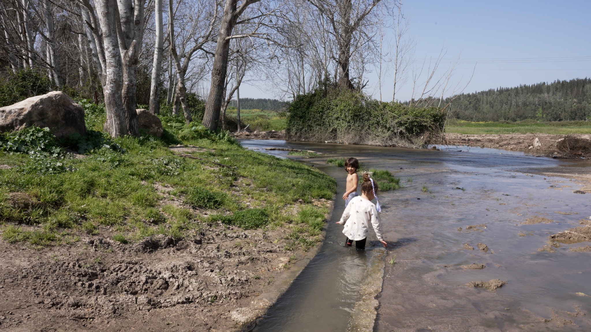
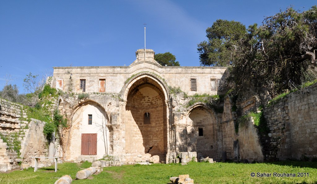
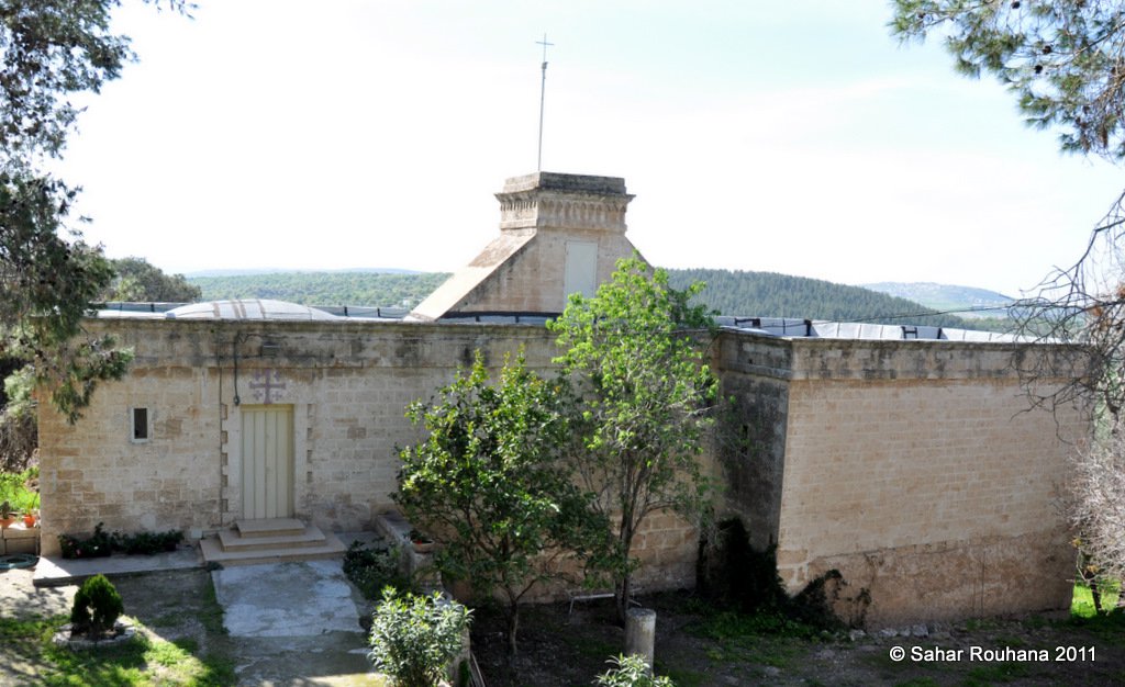
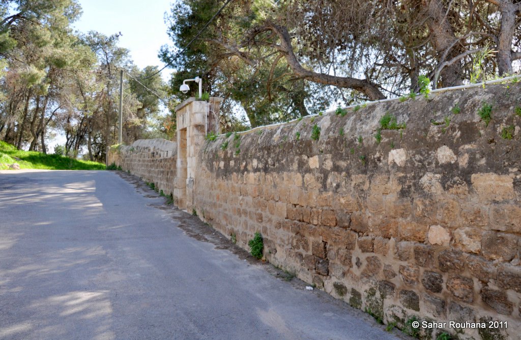
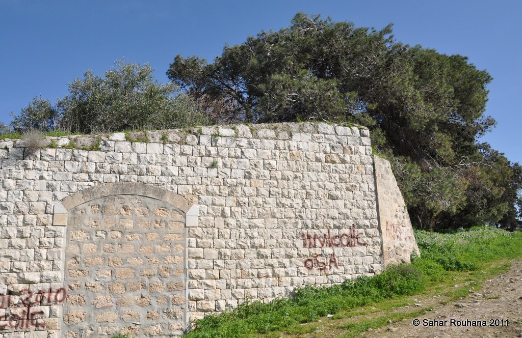
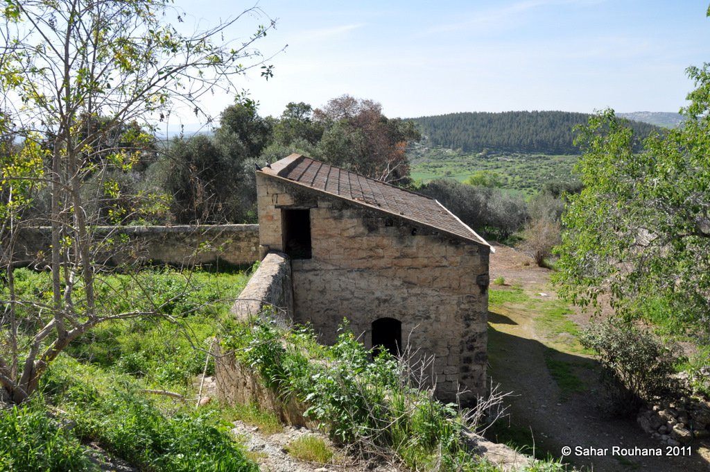
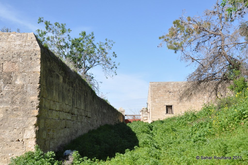
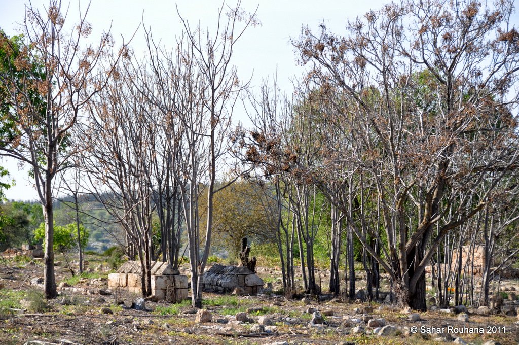
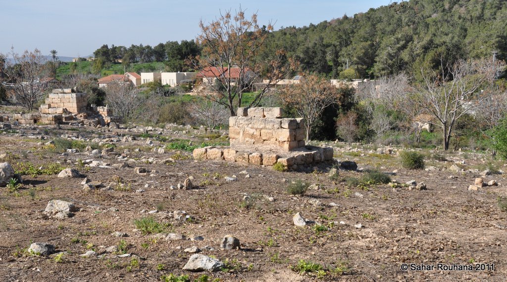
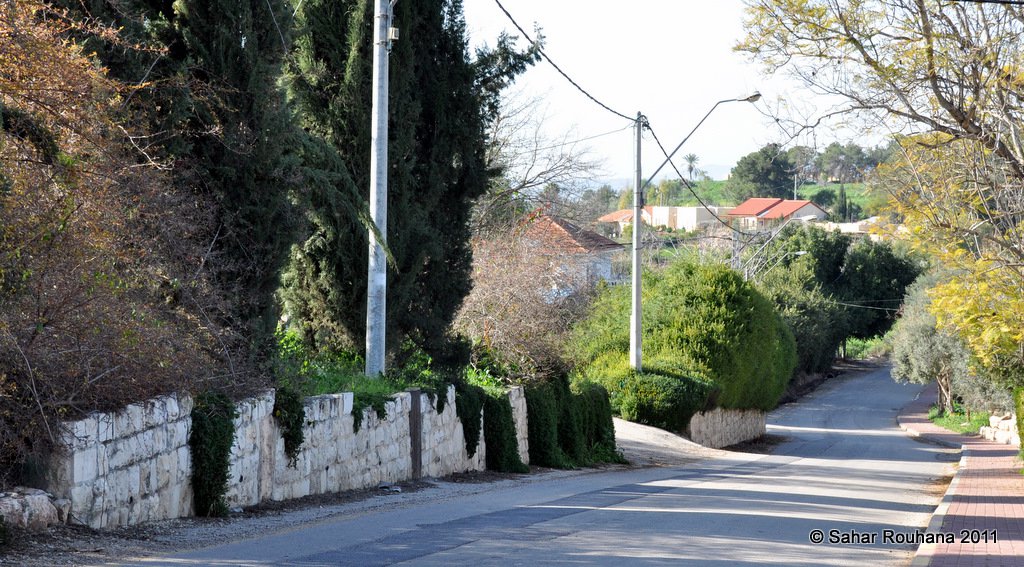
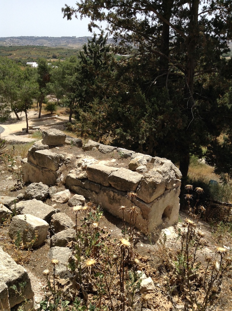
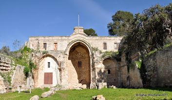
Only a few houses remain on the site, including those of 'Abd al-Majid Sulayman and 'Ali Mawjuda. Otherwise, the site is covered by a pine forest planted by the Jewish National Fund to commemorate a number of persons and occasions (such as Guatemala's independence day). Zahir al-'Umar's fortress still stands atop the hill, though some of its walls have collapsed. It is ringed by excavation sites. On the northern side of the village the monastery of St Anna still remains and serves as an orphanage for Palestinian children. There is also a Roman Orthodox church. Along the southern road to the village there is a synagogue that was originally a Muslim shrine. Next to it lies a recent Israeli cemetery.
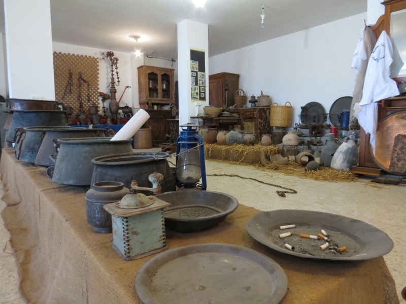
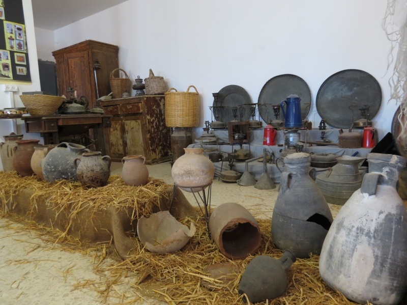
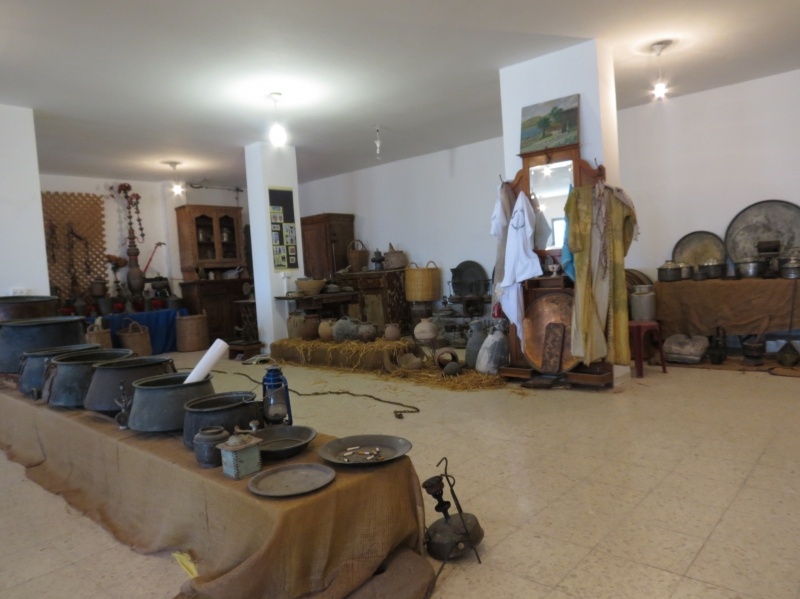
Images
Videos
Refugee from Safuriyya
"Our Return" project
"My Land" gives voice to Palestinian refugees living in camps in Lebanon for over 60 years after definitively leaving their homeland in 1948.
Former Hagana officer, participated in the occupation and expulsion of Palestinian villages in the Lower Galilee during 1948.
a Short film that was produced especially for the Zochrot`s 1st International Film Festival on Nakba and Return.
Booklets
Others
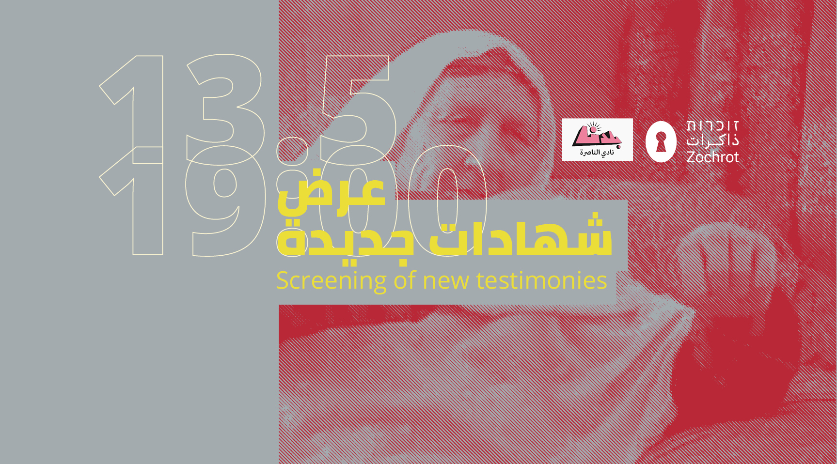
Locality events
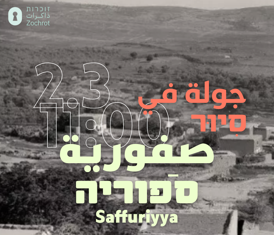
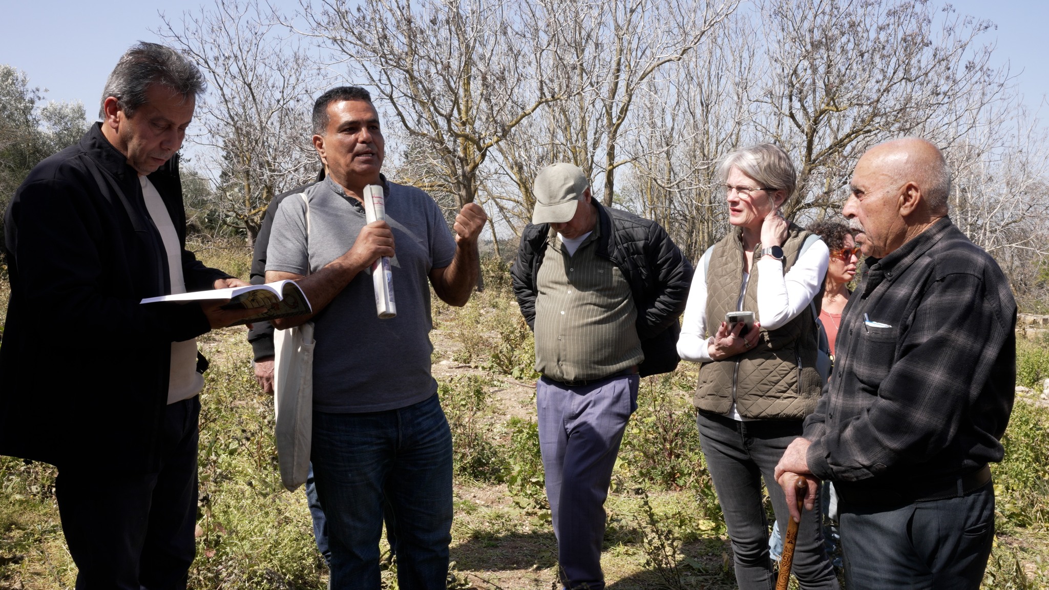
Locality tours