Info
District: Safed
Population 1948: 860
Occupation date: 01/05/1948
Jewish settlements on village/town land before 1948: None
Jewish settlements on village/town land after 1948: Part of Hatzor HaGlilit
Background:
Fir’im Before 1948
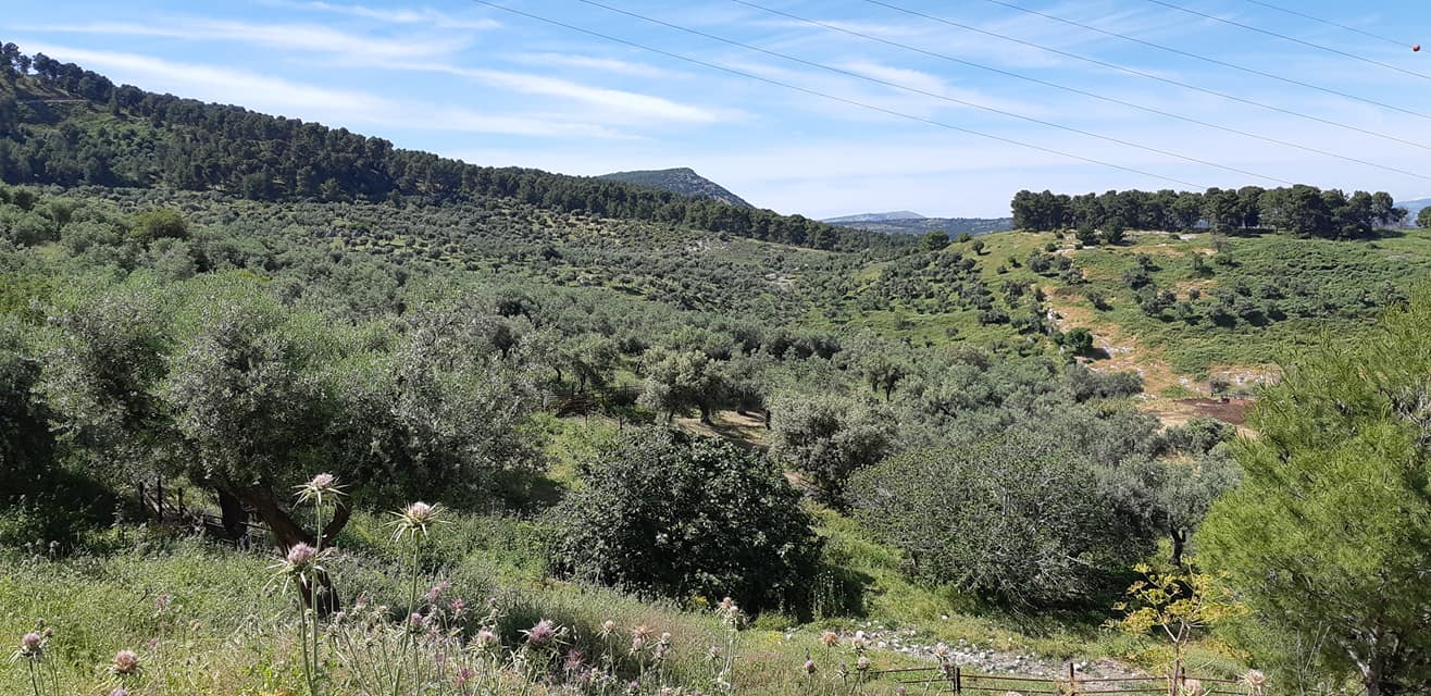
The village was situated on the southeastern slope ol Mount Kan’an, and overlooked Ghawr ( the low—lying area around the Jordanr( between Lakes Tiberiits and al-Hula. It was known by its present name during the Crusader period. In 1596, Fir’im was a village in the nahiya of Jira (Liwa` of Salad) with a population of 446. It paid taxes on a number of crops, including wheat, barley, and olives, as well as on other types of produce and property such as goats, beehives, and a press that was used for processing either olives or grapes. Travelers in the late nineteenth century described Fir’im as a stone—built village, situated at the end of a ridge. The villagers, who numbered about 200, cultivated small gardens and grew olives and figs.
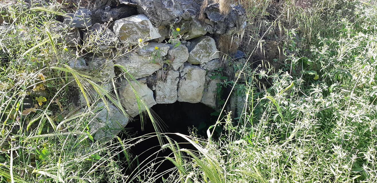
The village was densely populated. Its stone houses were laid out in a northwest—southeast orientaion The entire population was Muslim. A village council, composed of representatives of the village families, (leall with issues that affected the community. The village had a boys’ elementary school and two olive presses. Its economy was based on agriculture; fruit was the main crop, followed by grain. In the 1942/43 season, 700 dunuins were planted with olive trees. Fruit trees were grown on all sides of the village, and especially in the northeast, north, west, and southwest. In 1944/45 a total of 700 dunums was allocated to cereals and 935 dunums were irrigated or used for orchards. Springs and wells provided water for agricultural and domestic use. An archaeological site near Fir’im contained the ruins of buildings and rock-hewn tombs.
Occupation and Depopulation
In accordance with the plan of Operation Yiftach (see Abil al-Qamh, Safad District), Fir’im and two other villages were sporadically mortared on the night of 2 May 1948. The attacks were mounted on the three villages ‘‘in order that in the end the Arabs would lice from them,” according to an Israeli military report on the operation. But some villagers appear to have remained, for a military intelligence report filed in June 1948 indicated that the village was evacuated on 26 May, as a result of a direct assault. It was the declared intention of Operation Yiftach to “cleanse” eastern Galilee of its inhabitants during the month of May. Palestinian historian ‘Arif al-’Arif adds that the fall of Fir’im demoralized the city of Safad.
Israeli Settlements on Village Lands
There are no Israeli settlements on village land. The settlement of Chatzor ha-Gelilit, established in 1953, is about 1 km southeast of the village.
The Village Today
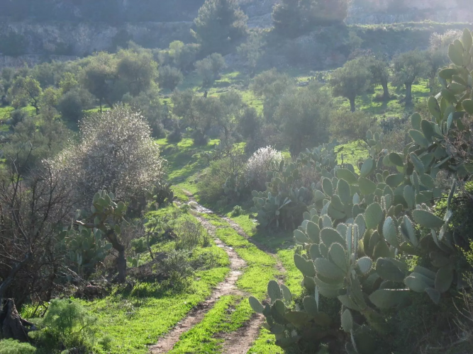
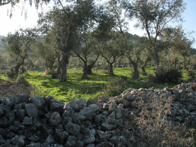
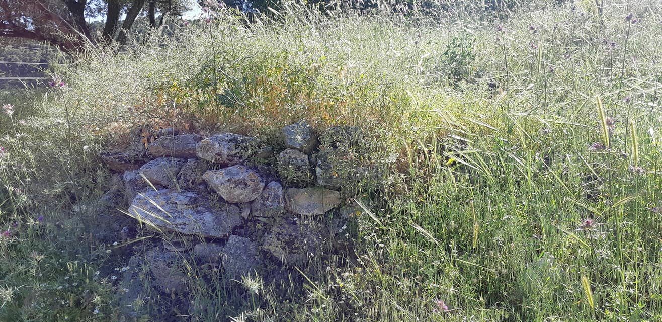
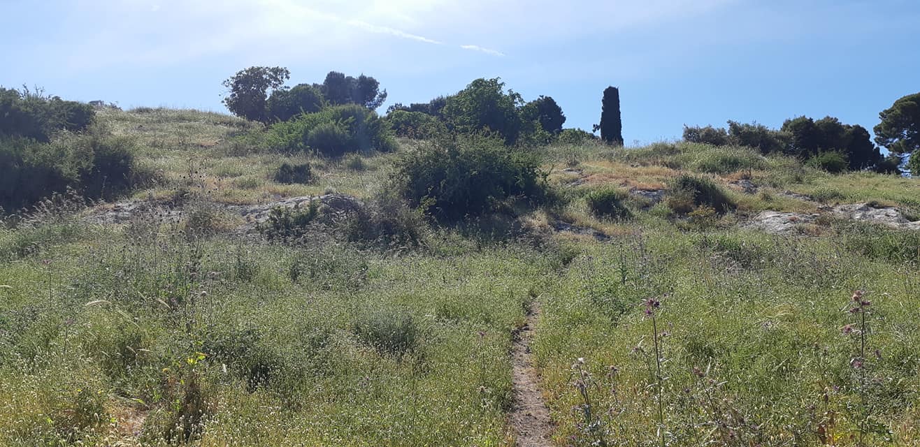
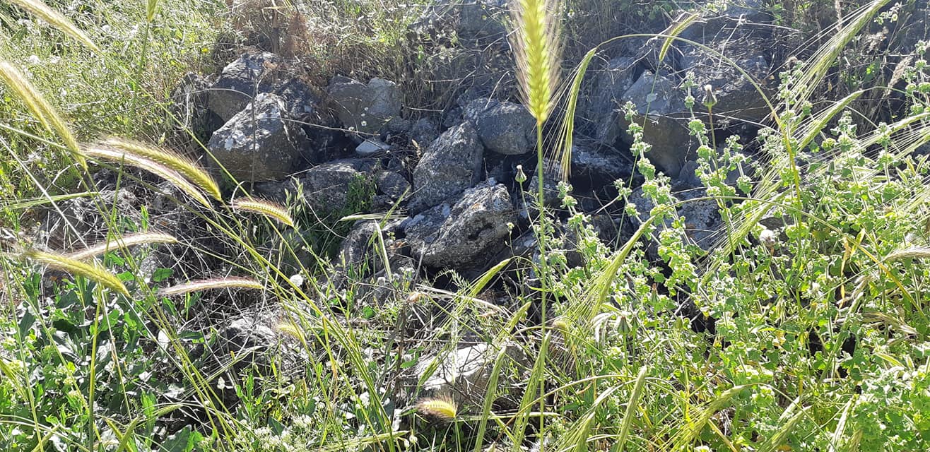
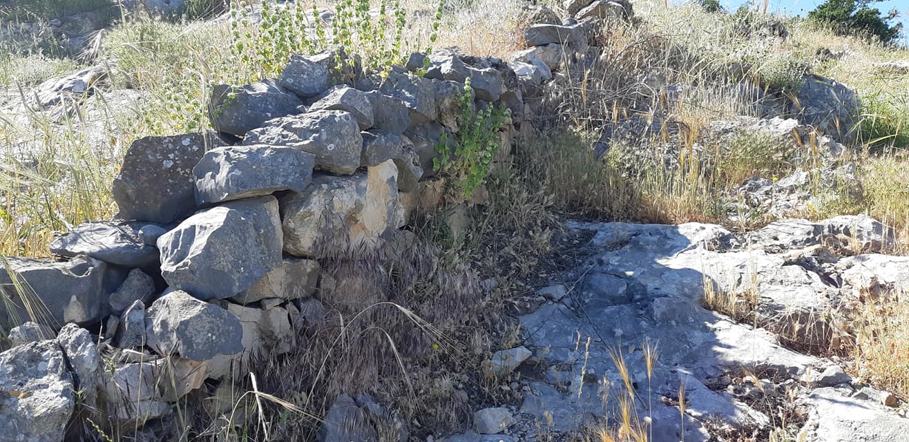
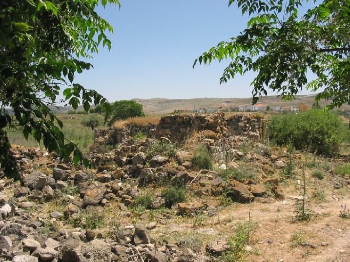
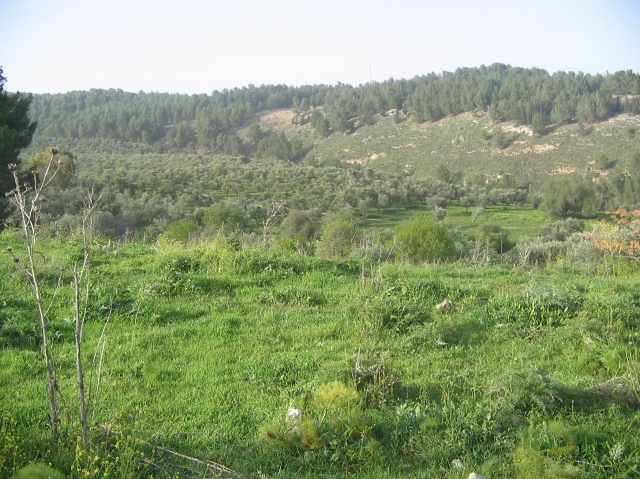
The rubble of destroyed village houses is scattered across the site. Some terraces with olive trees remain. Olive trees and cactuses grow on the site and the surrounding lands.
-------------------------
Source: al-Khalidi, Walid (ed.). All that remains: the Palestinian villages occupied and depopulated by Israel in 1948. Washington DC: 1992.
Images
Videos
Booklets
Others
Publications