
Info
District: Safed
Population 1948: 780
Occupation date: 01/10/1948
Jewish settlements on village/town land before 1948: None
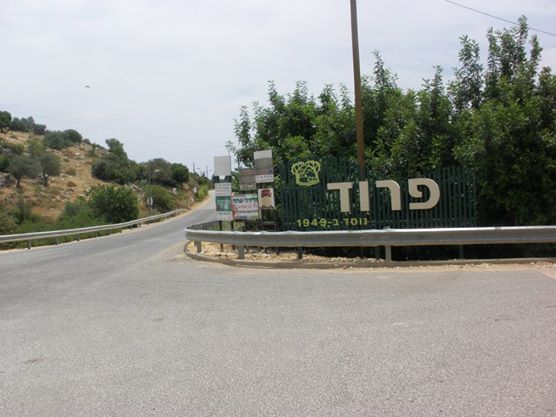
Jewish settlements on village/town land after 1948: פרוד, שפר
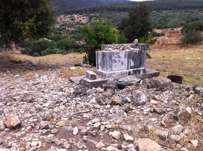
Background:
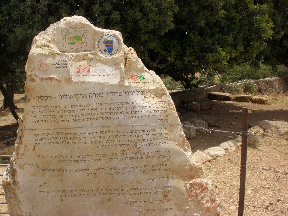
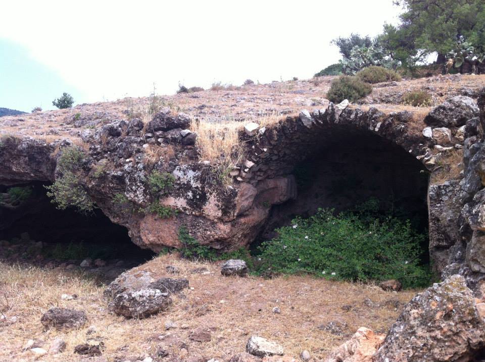
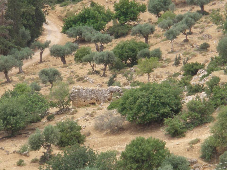
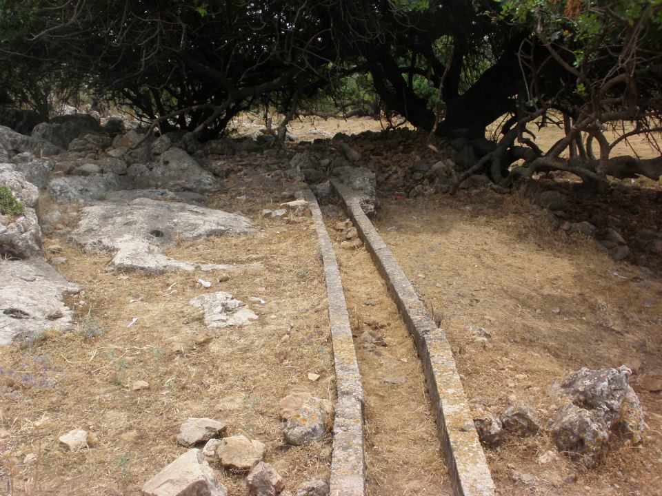
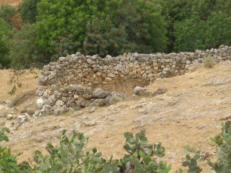
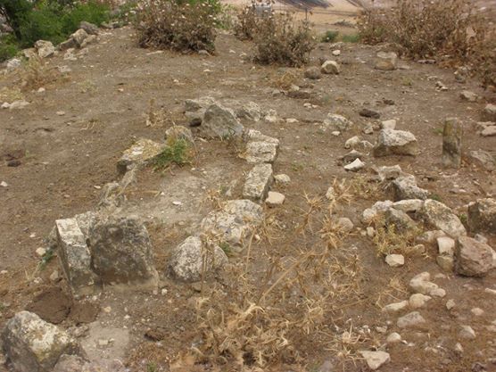
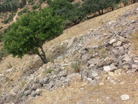
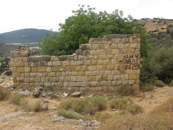
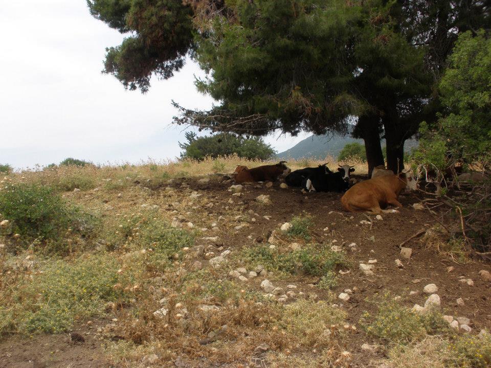
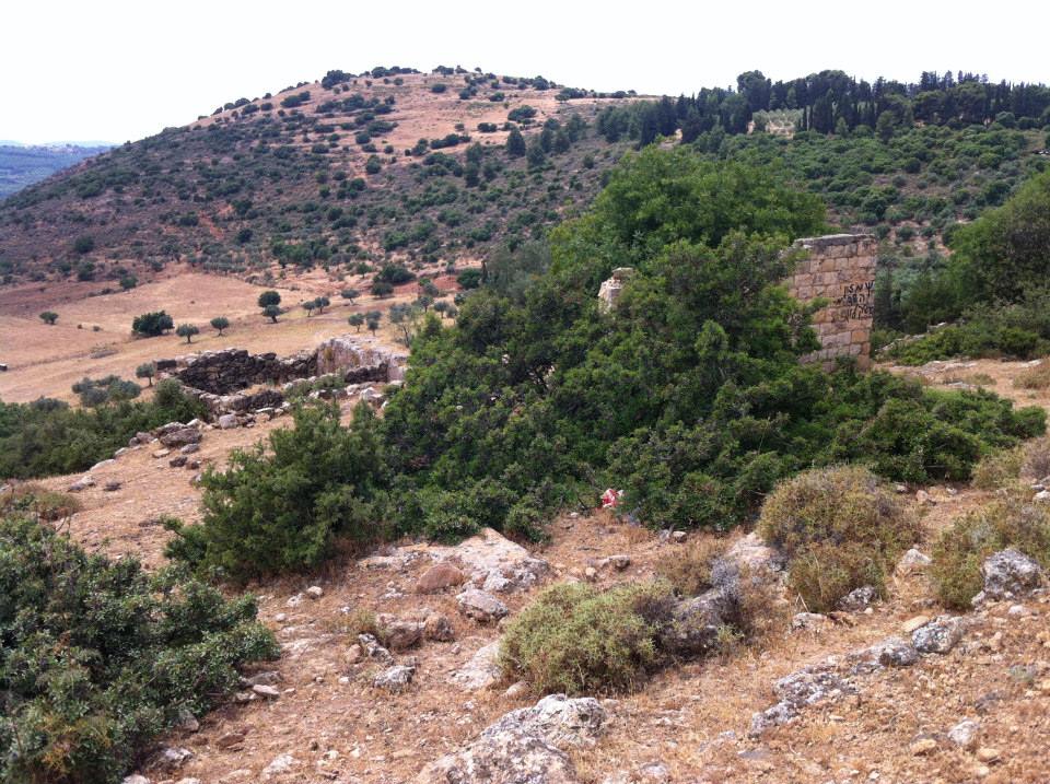
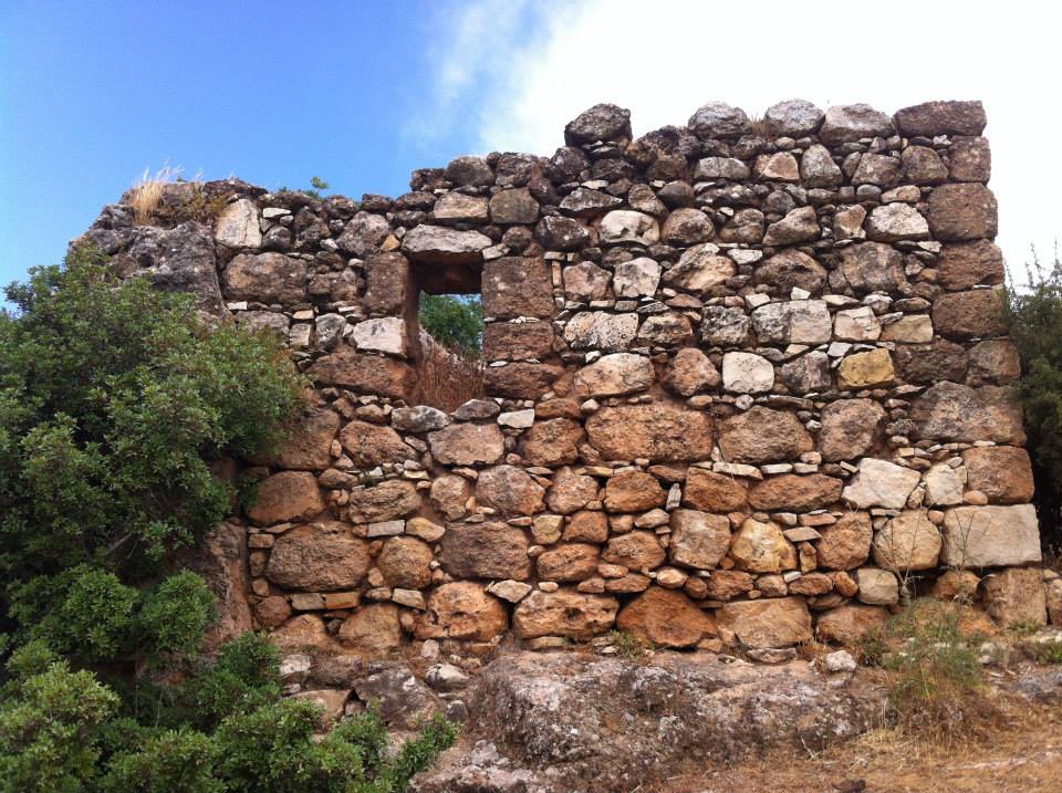
The village stood on the southern slope of Mount Zabud. The Nazareth—Safad highway passed just to the north of it. Al-~Farradiyya may have been built on the site of a village known during the Roman period as Parod. The Arab geographer al-Maqdisi (d. 985) referred to it as al-Farradhiyya and described it as a large village, renowned for its groves of fruit trees and p-apes, located in a pleasant area with plentiful water.
Images


Videos
Booklets
Others
Publications
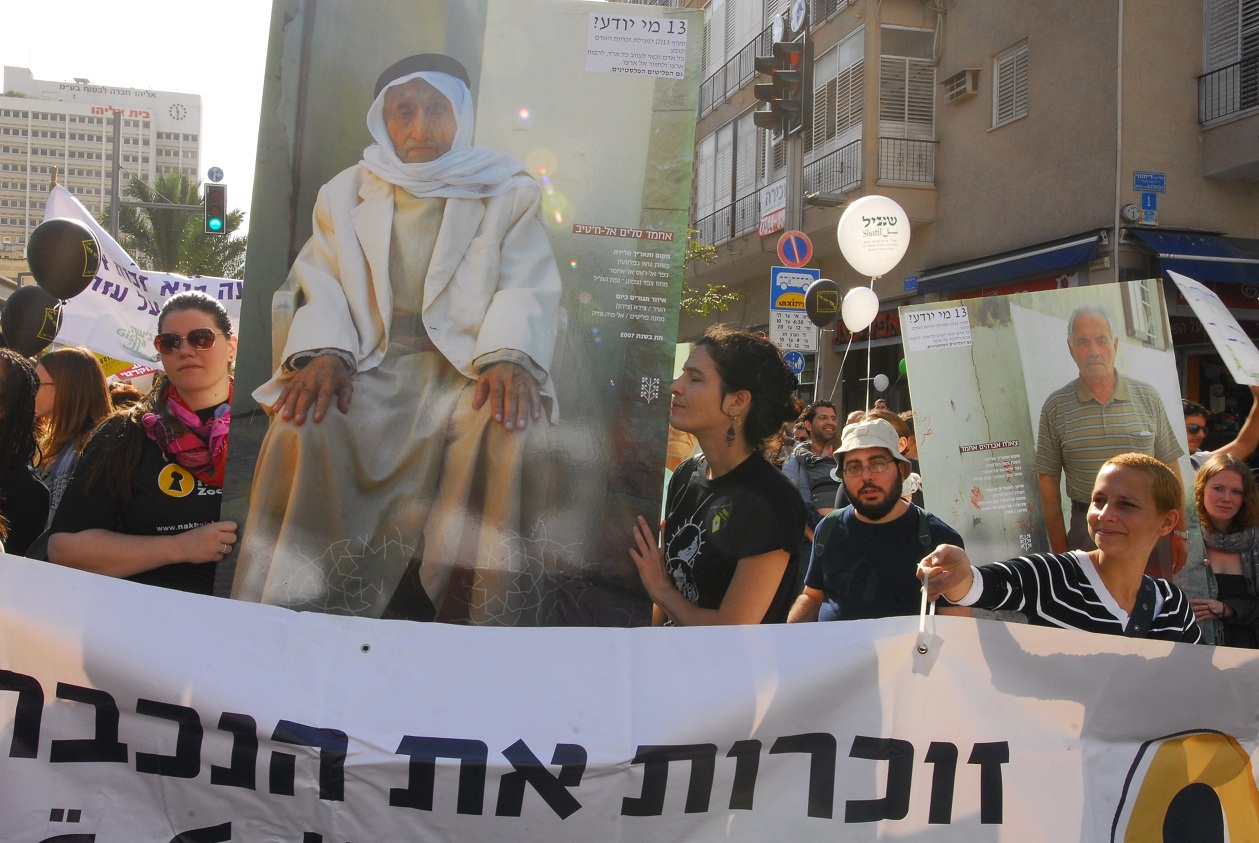
Palestinian refugees at the human rights march in Tel Aviv
11/2011
Locality testimonies

Hassan Ahmed Mansour
01/09/2009