Info
District: Safed
Population 1948: 530
Occupation date: 26/05/1948
Jewish settlements on village/town land before 1948: None
Jewish settlements on village/town land after 1948: None
Background:
Qabba’a Before 1948
The village, surrounded by four springs, was linked by a dirt track to ‘Ammuqa, another village less than 2 km to the northeast. It was situated on the northeastern slope of Mount Kan’an; it faced the northeast and overlooked the Ghawr (the low-lying area on the banks of the Jordan) between the al-Hula and Tiberias lakes. In 1596, Qabba’a was a village in the nahiya of Jira (liwa’ of Salad) with a population of ninety-nine. It paid taxes on a number of crops, including wheat, barley, and olives, as well as on other types of produce and property, such as goats, beehives, and vineyards. In the late nineteenth century, travelers reported that Qabba’a was a village built of masonry and situated on a ridge. Its 150 residents cultivated olives.
The village houses were clustered closely together and made of stone and mud, although some were cut out of the rock. At its center stood a small marketplace, a mosque, and a school. The villagers, all of whom were Muslims, earned their living from agriculture, which was both rainfed and irrigated from a number of springs in the vicinity. They cultivated grain and vegetables on the level lands and grew grapes and figs, as well as olive trees on Mount Kan~an’s slopes. They also raised cattle and sheep and kept bees. In 1944/45 a total of 7,659 dunums was allocated to cereals; 379 dunuins were irrigated or used for orchards.
Occupation and Depopulation
In mid-April 1948, units from the Palmach as well as other forces assembled in the northeast of the country and launched Operation Yiftach (see Abil al-Qaznh, Salad District). They took Qabba’a in the first half of the operation, according to the account given by Israeli historian Benny Morris, after subjecting it to a night of bombardment on 2 May. That night, Palmach units sporadically pounded the village with mortars, “in order that in the end the Arabs would leave,” in the words of an officer in a participating unit. Morris adds that two nearby communities to the south, Fir’im and Mughr al-Khayt, were attacked in the same manner.
Israeli Settlements on Village Lands
There are no Israeli settlements on village lands. Chatzor ha-Gelilit , founded in 1953, is 3 km south of the village site.
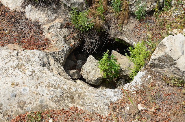
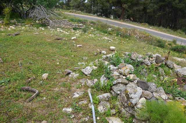
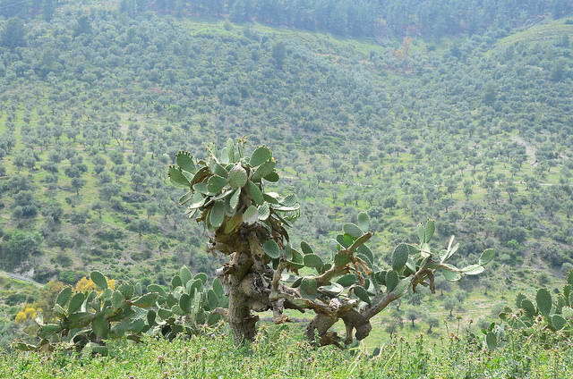
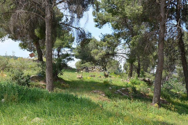
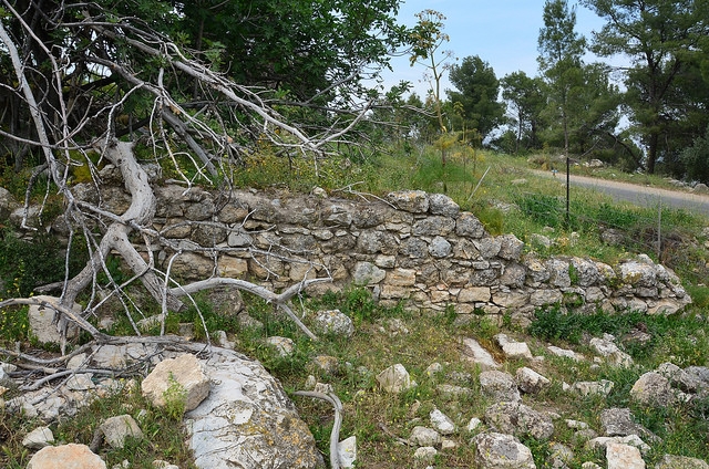
The Village Today
The stone debris of destroyed houses covers the site, where shrubs, grass, cactuses, and fig and pine trees grow. Most of the surrounding lands are cultivated by Israeli farmers, but some are wooded and others are used as pasture.
-------------------------------
Source: al-Khalidi, Walid (ed.). All that remains: the Palestinian villages occupied and depopulated by Israel in 1948. Washington DC: 1992.
Images

Videos
Booklets
Others
Publications