Info
District: Haifa
Population 1948: 480
Occupation date: 01/04/1948
Jewish settlements on village/town land before 1948: Yokneam
Jewish settlements on village/town land after 1948: Yokne'am Ilit
Background:
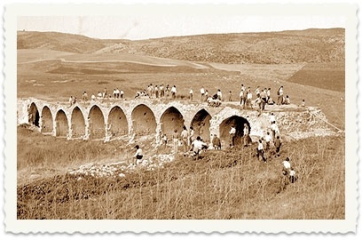
Qira Before 1948
At 23 km distance from Haifa, the village was situated on the western, rocky bank of Wadi Qira and overlooked the plain of Marj ibn 'Amir. A closely related community, Tall Qamun, lay only 2 km to the northeast, and because the two were so closely associated, some people in the region spoke of them as 'Qira wa Qamun' (Qira and Qamun). The al-Muqatta' River, which was 4 km to the north, formed the northern border of Qira's lands. Qamun was number 113 in the list of towns conquered by the Egyptian Pharaoh Thutmost III in 1468 B.C.
Qira (wa Qamun) had a square layout, and its houses were made either of cement or of stone and mud. Bedouin pitched their tents there during the sedentary months of their migratory cycle. Its population was Muslim, and it had several springs in various parts of its lands. Growing grain, planting vegetables and breeding livestock were the main economic activities. From the archeological evidence on the surface of the site, it appears that Qira wa Qamun were built over an earlier settlement. Surveys of the region have produced evidence of at least nineteenth archeological sites in the area east of the village.
Occupation, Depopulation, and Israeli Settlements
The people of Qira wa Qamun were targeted for eviction by the Jewish National Fund (JNF) in March 1948, on the grounds that they were tenant farmers working on Jewish-owned lands. A top official in the JNF's Lands Department, Yosef Weitz, told a Haganah intelligence officer to 'advise' the inhabitants of the village to leave. When they did, Weitz and other officials in the JNF decided to raze their homes and destroy their crops. Benny Morris says that this took place in late March, but gives no information regarding the destination of the villagers or the fate of the village lands.
The settlement of Yoqne'am was established in 1935 on what were traditionally village lands, northeast of the village site. By 1945, the settlers owned all the lands of the village. An extension of the settlement, Yoqne'am 'Illit, was established in 1936 on the border between Qira wa Qamun's lands and those of Abu Zurayq.
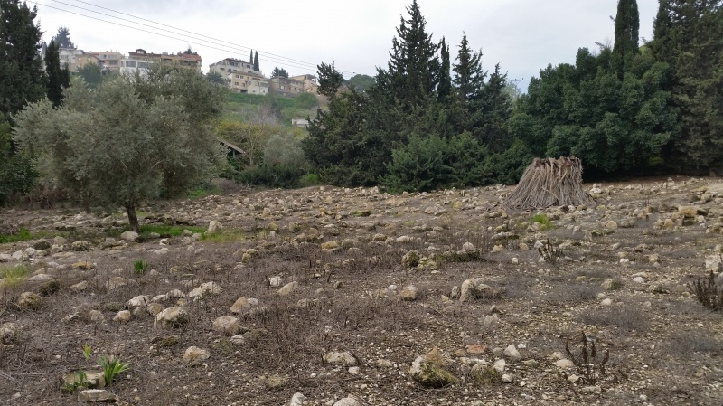
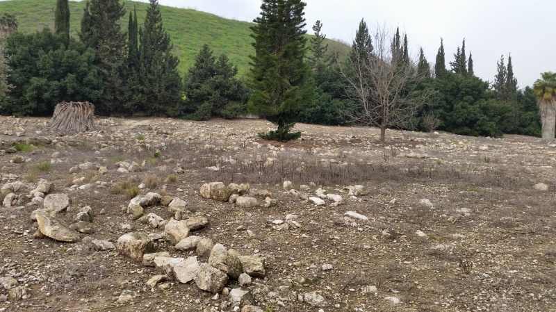
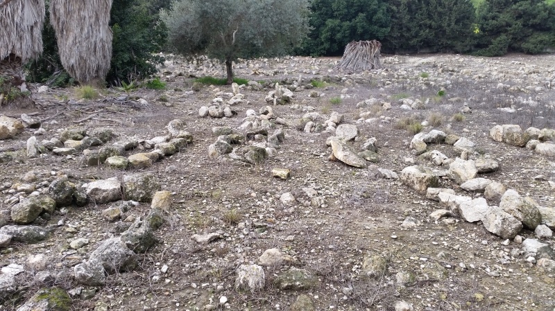
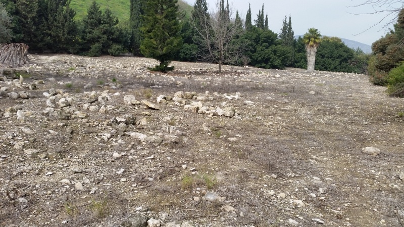
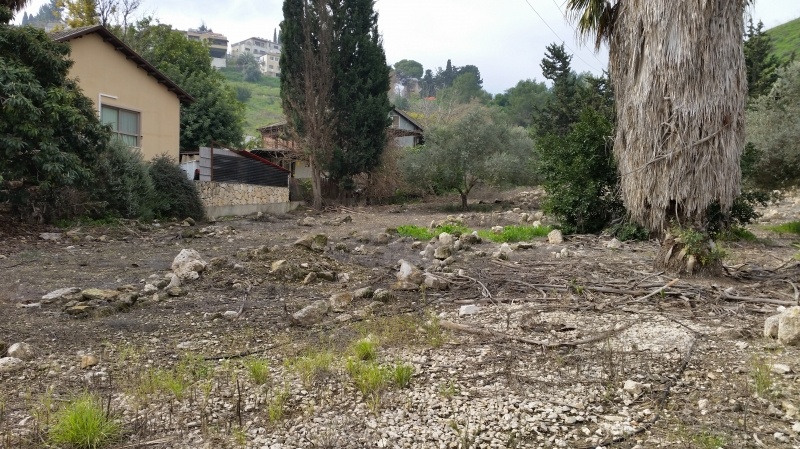
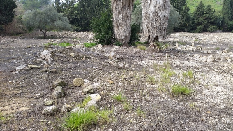
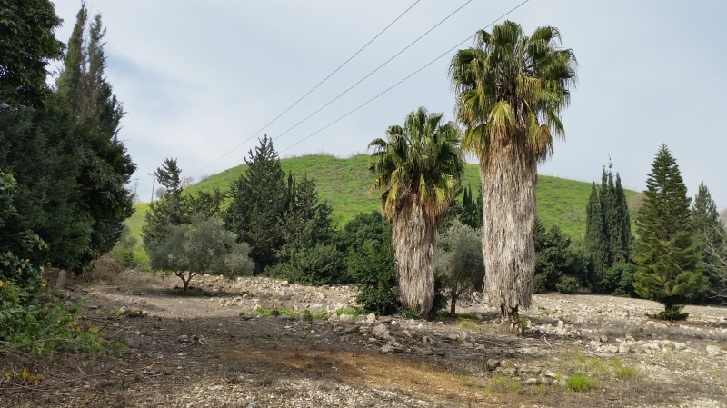
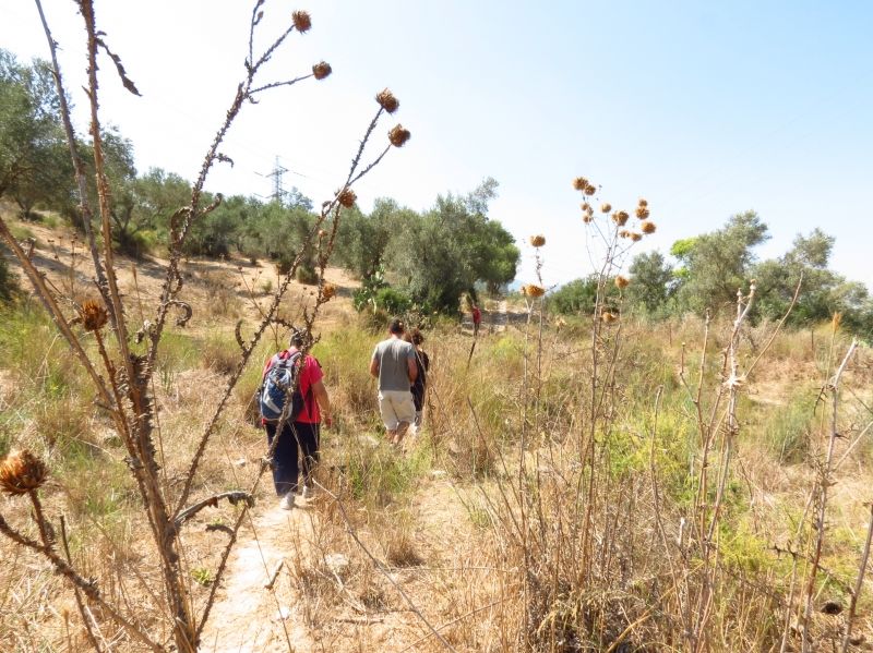
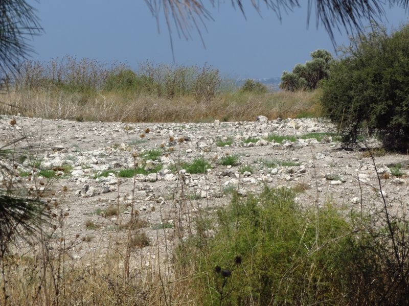
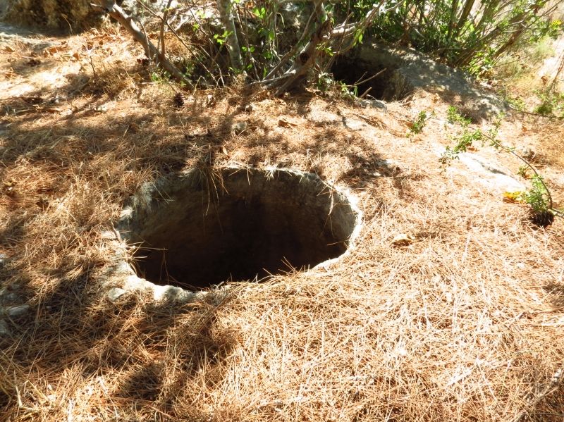
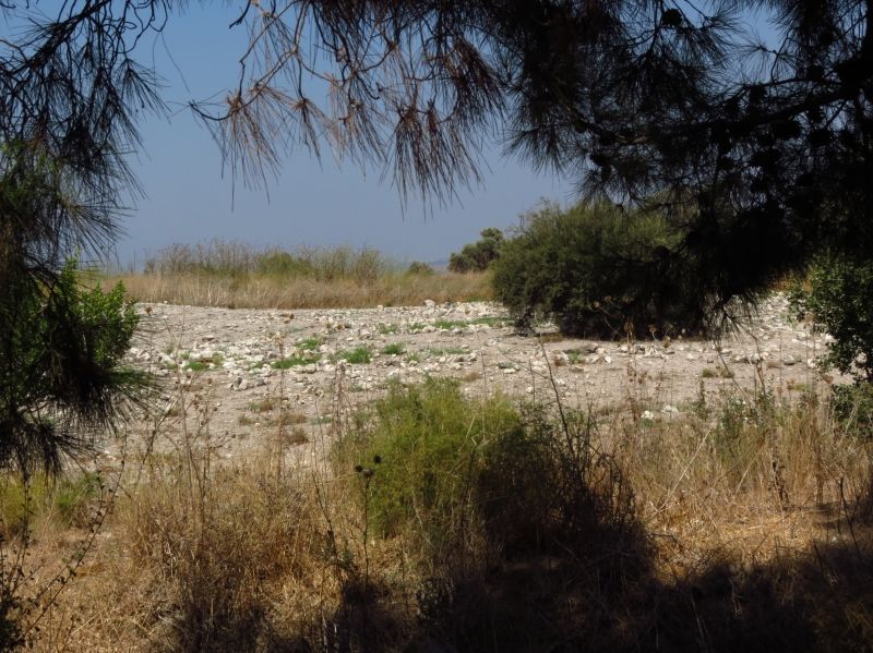
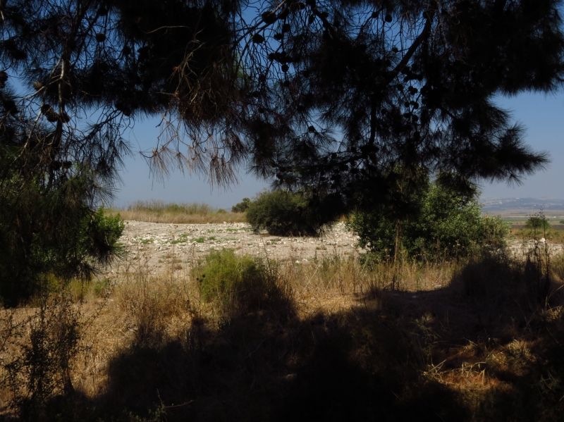
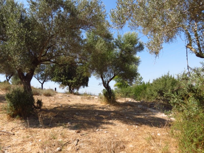
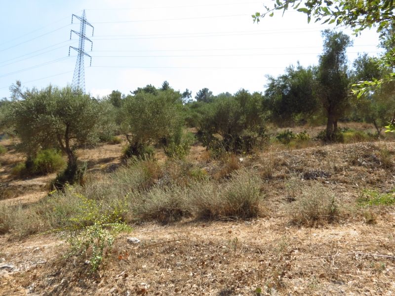
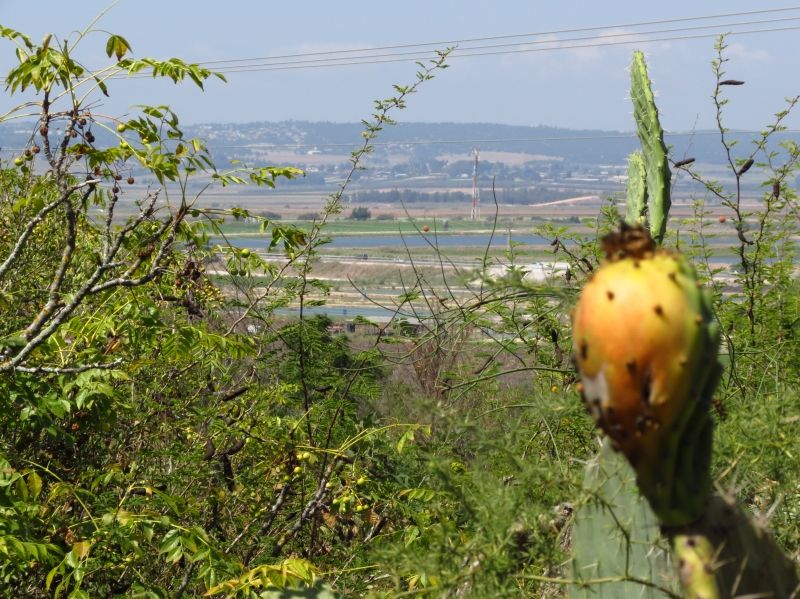
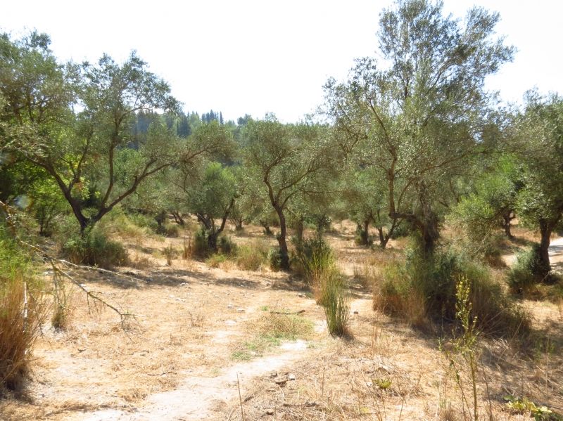
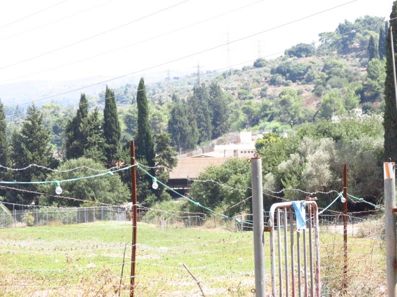
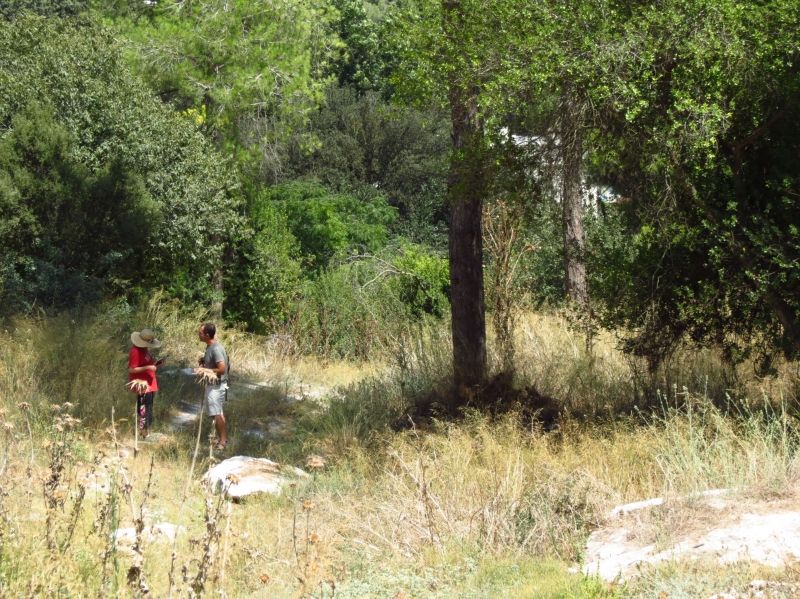
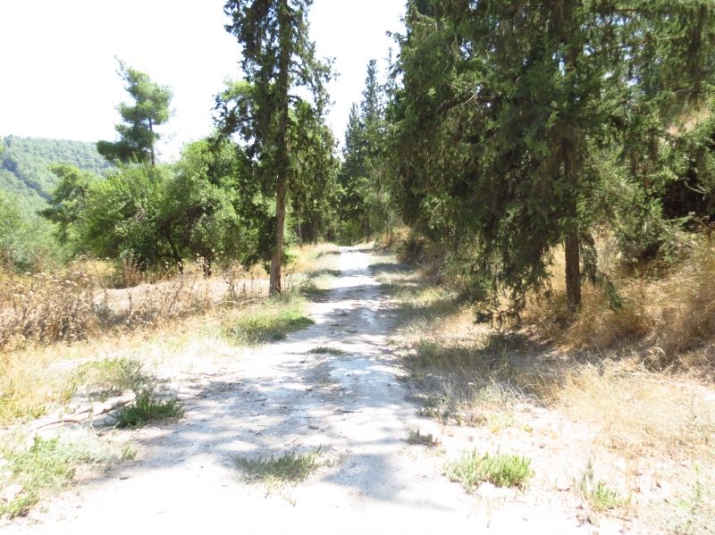
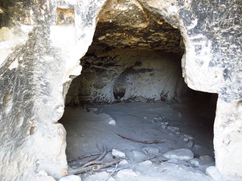
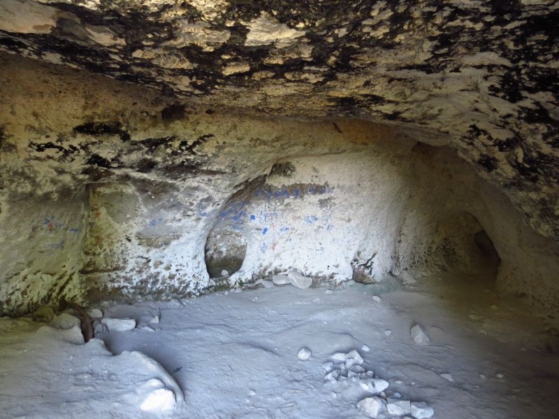
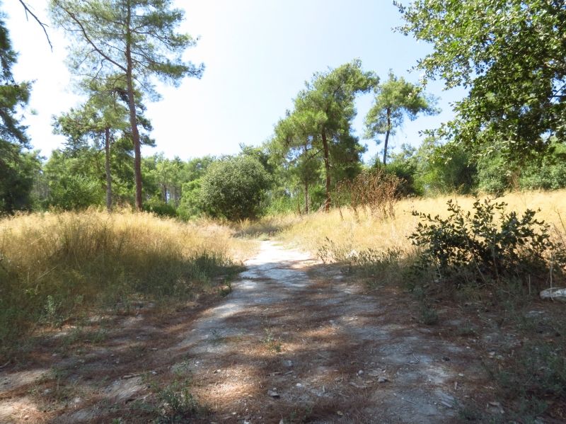
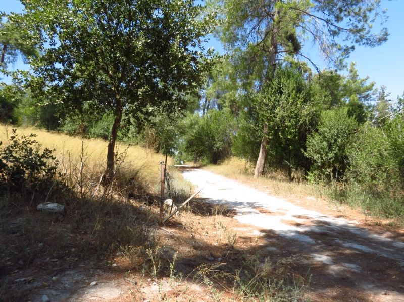
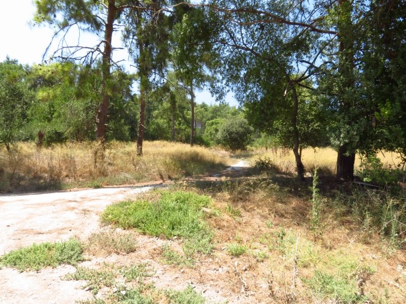
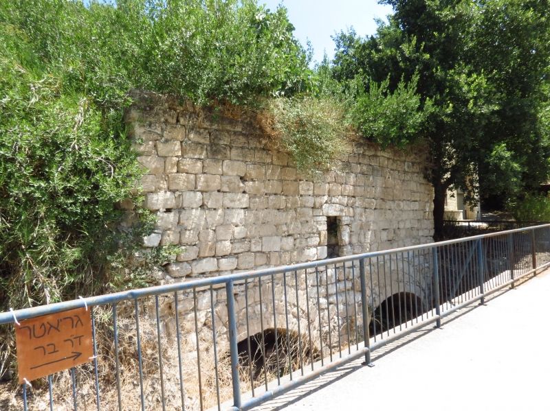
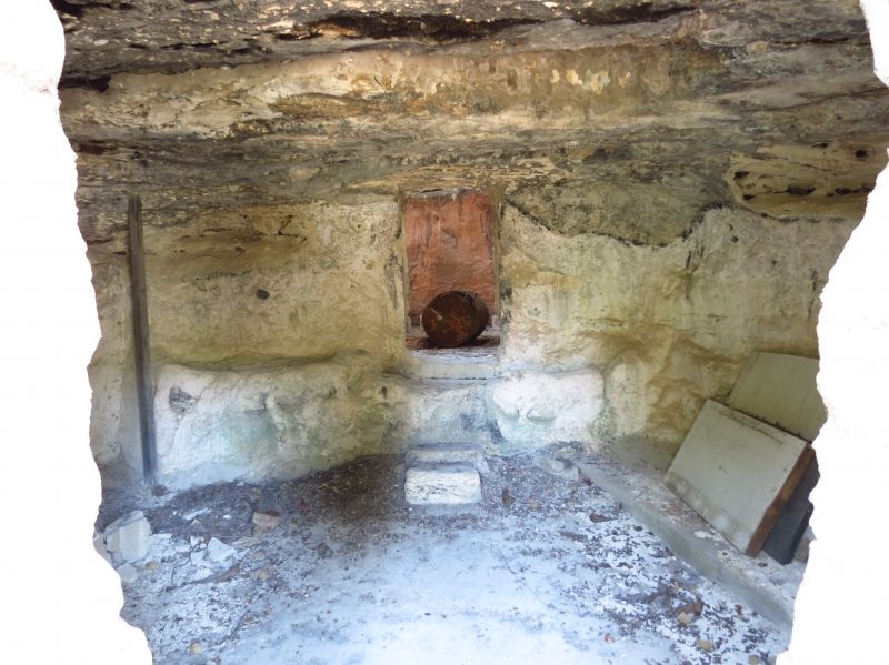
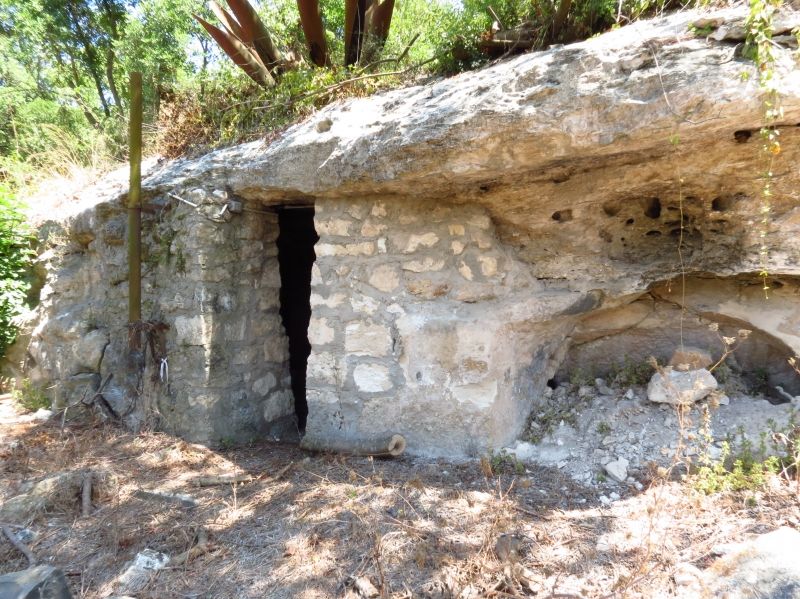
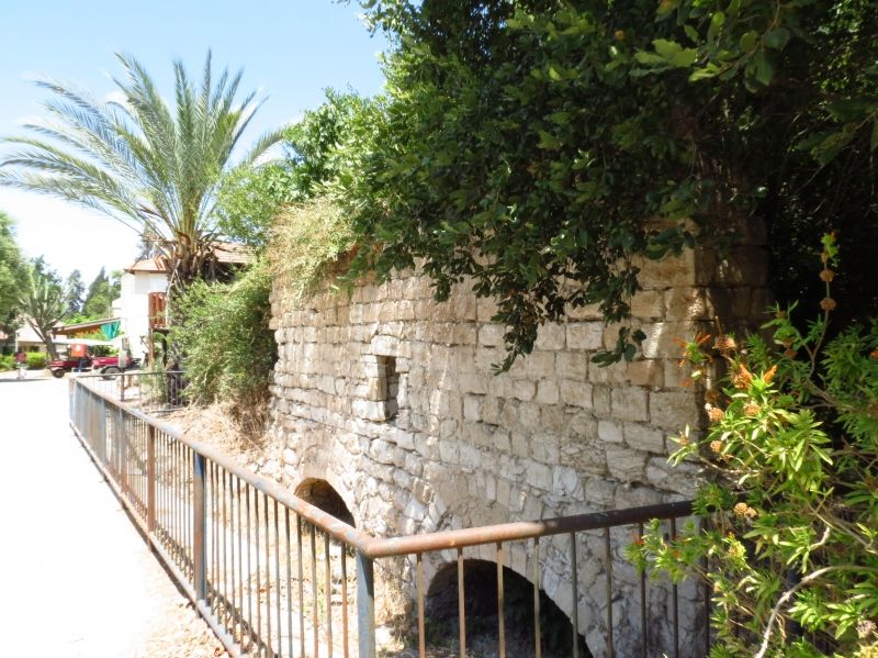
The Village Today
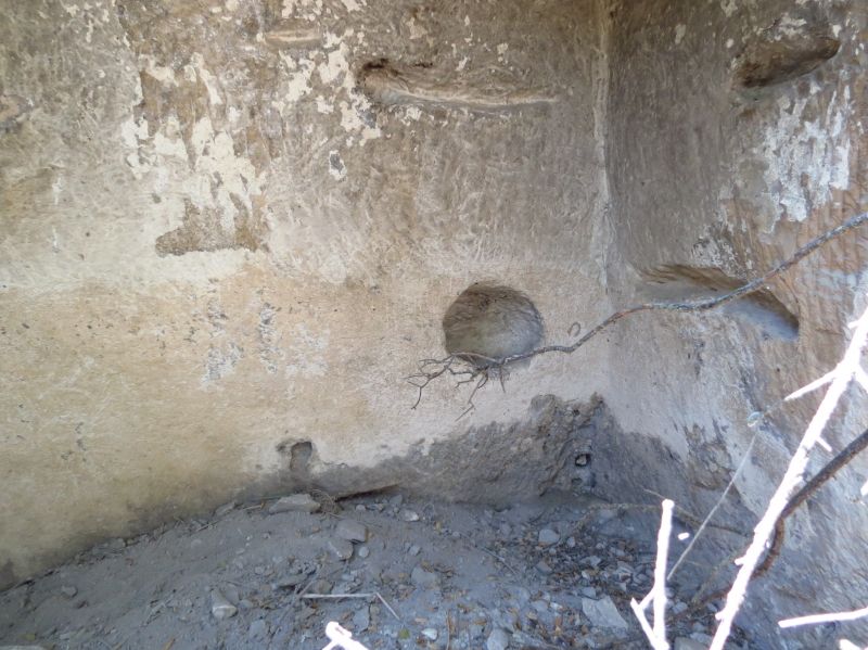
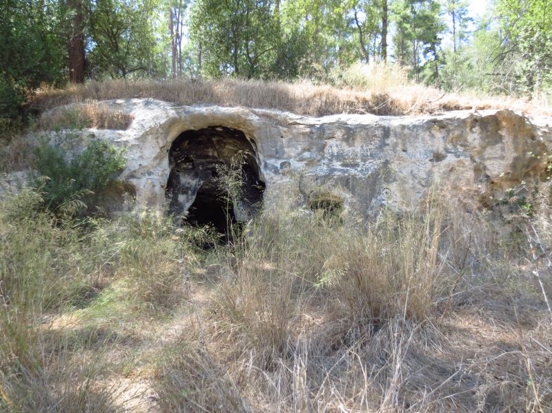
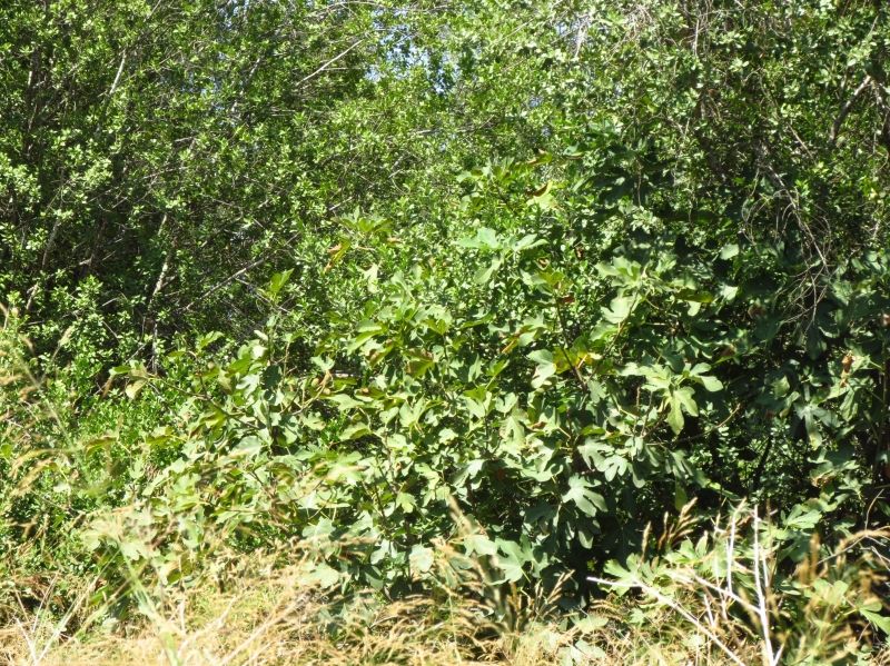
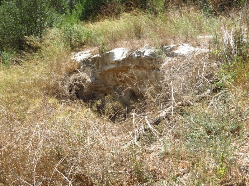
Rubble from village homes can be seen among the bushes and pine trees that have been planted on the village site. A spring still flows through a rock-cut channel. The area around it has been turned into an Israeli park. Almond, pomegranate, and fig trees grow on the site, and pine trees cover the hilly lands surrounding it. The other lands are planted in grain.
_________
Source: al-Khalidi, Walid (ed.). All that remains: the Palestinian villages occupied and depopulated by Israel in 1948. Washington DC: 1992.
Images