Info
District: al-Quds (Jerusalem)
Population 1948: 260
Occupation date: 21/10/1948
Occupying unit: Har'el (palmah) & Ezioni
Jewish settlements on village/town land before 1948: None
Jewish settlements on village/town land after 1948: None
Background:
Dayr al-Shaykh Before 1948
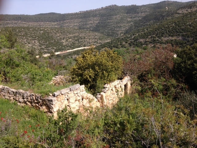
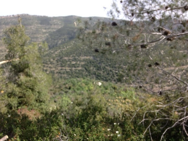
The village stood on a small hill at the foot of the northern slope of Mt. Shaykh Badr, and overlooked Wadi al-Sarar to the northeast. The al Quds (Jerusalem)-Jaffa highway and railway line passed through the wadi. One of the railway stations was located 0.5 km east of the village. Secondary roads linked Dayr al-Shaykh to nearby villages. It had a rectangular configuration and extended in a north-south direction, with a few of its houses built along the spur that led to the highway.
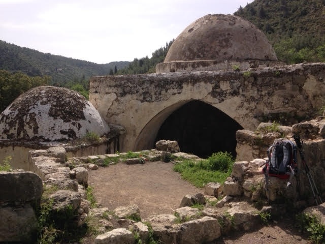
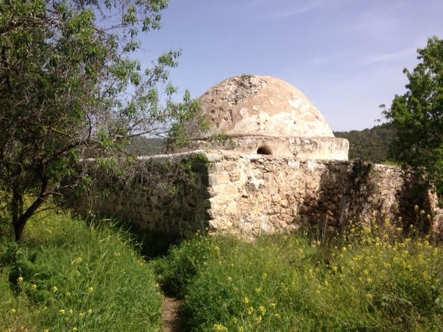
In 1596, Dayr al-Shaykh was a village in the nahiya of al Quds with a population of 113. It paid taxes on a number of crops, including wheat, barley, olives and fruits as well as on other types of produce and property, such as goats, beehives, and vineyards. In the early 1870s Dayr al-Shaykh was reported to have a population of approximately 400, but by 1881 it was deserted. Its inhabitants may have moved away temporarily or perished during a typhus epidemic in 1874. Its rwo mosques, one with a large dome, stood to the east, and a rock-cut tomb was to the southwest. By the time of the Mandate the village had been repopulated. Most of its residents were Muslim, with 10 Christians among an estimated population of 220 in the mid-1940s. Most of their homes were built of stone.
One village landmark was the maqam (shrine) and mosque of al-Shaykh Sultan Badr. The village had a few small shops. A well to the west supplied its drinking water. Its lands were planted in rainfed crops, such as grain, vegetables, and fruit trees. Olive and fruit trees occupied relatively large portions of the lands to the east, west, and north; other parts were used as grazing areas. In 1944/45 a total of 1,025 dunums was allocated to cereals; 291 dunums were irrigated or used for orchards. Archaeological features included the remnants of walls and columns, foundations, cisterns, burial grounds, and presses.
Occupation and Depopulation
With the end of the second truce of the war on 15 October 1948, Israeli forces pushed into the al Quds corridor, just south of the road to the coast. Dayr al-Shaykh was occupied by the Har’el Brigade in the course of this operation, known as Operation ha-Har, probably on 21 October. Israeli historian Benny Morris gives a date of occupation but does not explain what ultimately happened to the villagers; he does mention, however, that some villagers in the area fled as Israeli forces approached, and that others were expelled.
Israeli Settlements on Village Lands
There are no Israeli settlements on village land. New Harim, established in 1950, is 1 km southwest of the village site on land belonging to Bayt Itab.
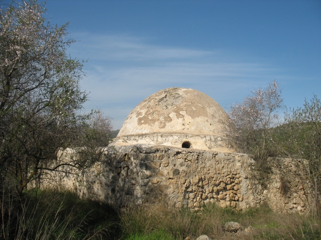
The Village Today
One of the few village buildings that remain is the shrine of al-Shaykh Sultan Badr, a white structure with two domes, arched entrances, and a courtyard; it is now an Israeli tourist site. Stone rubble west of the shrine is covered with wild grass. Cactuses grow on the walld of the terraces to the west and east of the village, as do many olive trees. The rubble of houses and terraces can be seen on the site.
------------------
Source: al-Khalidi, Walid (ed.). All that remains: the Palestinian villages occupied and depopulated by Israel in 1948. Washington DC: 1992.
Images