Info
District: al-Quds (Jerusalem)
Population 1948: 2780
Occupation date: 11/05/1948
Occupying unit: Har'el (palmah)
Jewish settlements on village/town land before 1948: None
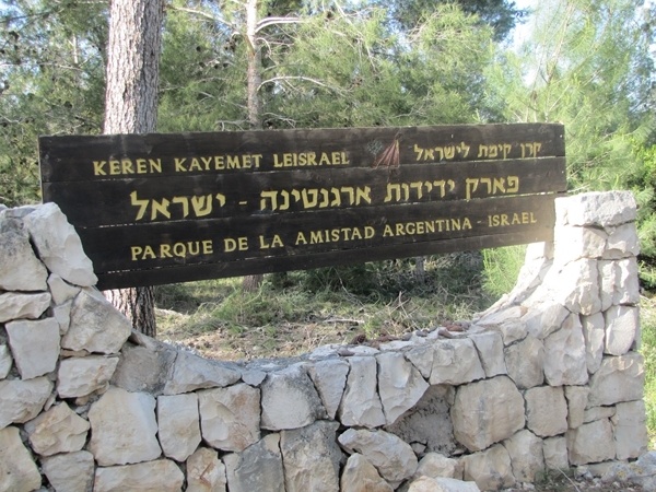
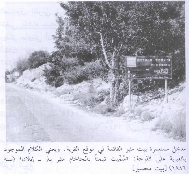
Jewish settlements on village/town land after 1948: Mesilot Zion
Background:
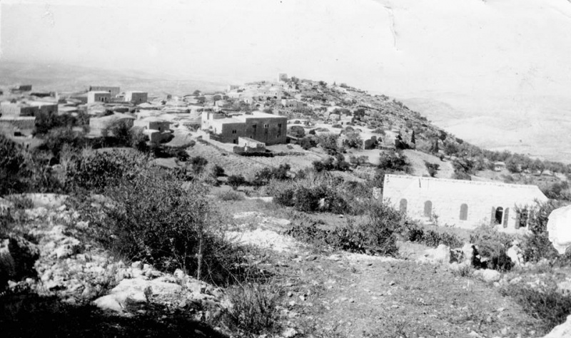
Bayt Mahsir (Arabic: بيت محسير) was a Palestinian Arab village in the Jerusalem Subdistrict. It was depopulated during the Nakba on May, 1948 by the Harel Brigade of Operation Makkabi. It was located 9 km west of Jerusalem.
In 1945, the village had a population of 2,400. Bayt Mahsir had three schools; two schools for boys and an elementary school for girls. Bayt Mahsir contains a number of khirbat, including al-Huwaytiyya, al-Masi, Khatula and al-Sallam.
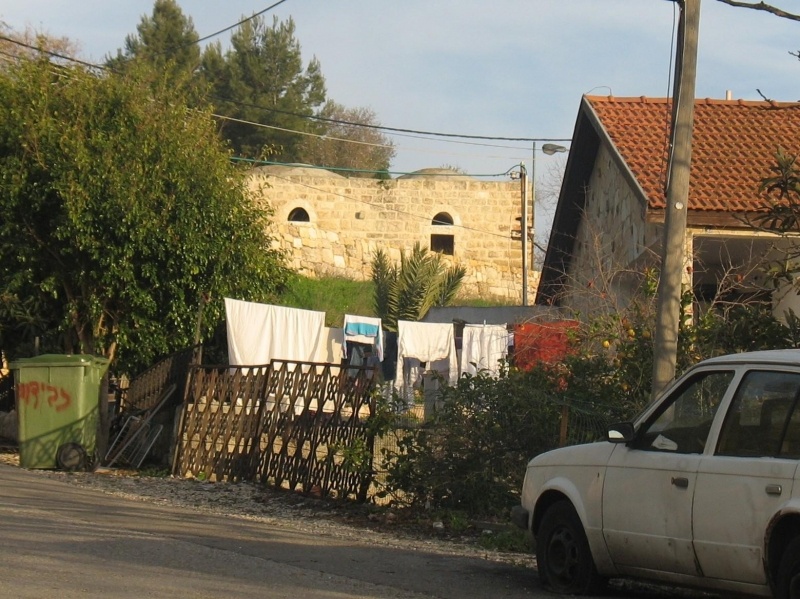
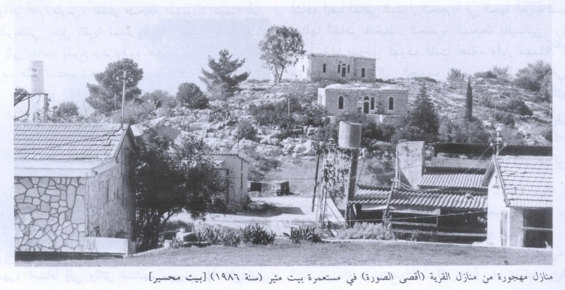
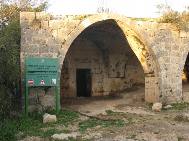
According to the Palestinian historian Walid Khalidi, the village remaining structures on the village land are: "Several village houses have been spared, and are for the most part interspersed among the houses of the settlement of Beit Meir. Two large, rectangular-shaped, almost identical houses built of limestone rise above the Israeli settlement's cabin-like residences. The remains of a flour mill, a metal machine with flywheels fitted over a stone structure, can still be seen. There is a wild forest of old trees on the eastern edge of the village site, on top of the mountain. The tomb of al-' Ajami, together with other graves, are among the trees."
Images
Videos
Booklets
Others
Publications