Info
District: Tiberias
Population 1948: 2170
Occupation date: 02/11/1948
Occupying unit: Hagana units
Jewish settlements on village/town land before 1948: None
Jewish settlements on village/town land after 1948: None
Background:
Khirbat al-Wa’ara al-Sawda before 1948
The village of Khirbat al-Wa'ara al-Sawda was located 7.5km from the city of Tiberias, on a small plateau of volcanic rock overlooking the village Wadi al-Hamam and the lake Tiberias. The village was linked to the highway that ran along the lakeshore to the city of Tiberias via secondary road. A dirt road linked it to the village Hittin in the southwest.
Khirbat al-Wa'ara al-Sawda belonged mainly to the ‘Arab al-Mawasi clan, with some families belonging to ‘Arab Wuhayb. In 1944-45, there were 1,879 inhabitants, all of which were Muslim. The basis for their living was through agriculture with olive trees planted in the north and grain growing in the bed of Wadi al-Hamam.
The village houses were located in grouped, irregular patterns around the intersection of the two roads. Furthermore, there were also Bedouin tents belonging to those who had not constructed permanent housing. There were two shrines dedicated to the local Shayks, located in a khirba, on the outskirts to the village in the north. Here, villagers performed religious ceremonies. The village site lay in the area of two archaeological khirbas, which contained building foundations, stone cairns, cisterns, a cave, a well and a trough hewn in rock.
Occupation and depopulation
There are no published accounts of the occupation and depopulation of Khirbat al-Wa'ara al-Sawda. However, there are two potential scenarios of the occupation. The first is that the village fell in the wake of the fall of the city of Tiberias on the 18th of April 1948. The second possibility is that the village fell in the course of Operation Dekel, as the forces had occupied Nazareth and was advancing eastwards towards the city of Tiberias.
However, there is an oral account of the massacre that took place of the ‘Arab al-Mawasi villagers. The massacre happened in late October or early November, as 15 men were taken capture and taken to the nearby village of Eilabun. The Israeli forces shot all the men, but two faked their deaths, as the soldiers retreated a short distance. After a few minutes wait, the soldiers returned and shot the bodies in the head to make sure that they were dead. 14 died, whilst one escaped to Syria along with other members of the ‘Arab al-Mawasi. The bodies were buried in a nearby cave.
Israeli Settlements on village lands
The settlement, Ravid, is located 3km west of the village site, but not directly on the village lands. In 1949, the settlement Arbel was constructed about 2km southeast of the lands on the village lands of Hittin.
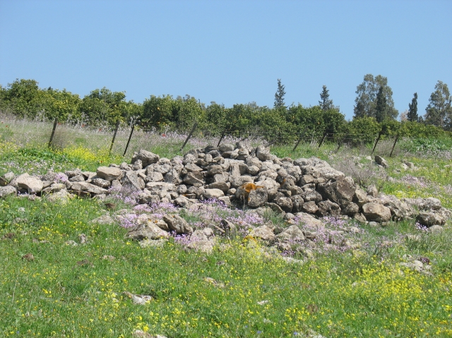
The village today
There is no evidence left of the village in the form of rubble or walls from houses. However, stone terraces provide evidence that there once was a village on these lands. The land around the village is largely used as grazing areas, also with some of the land cultivated by some Israelis.
---------------------------
Source: al-Khalidi, Walid (ed.). All that remains: the Palestinian villages occupied and depopulated by Israel in 1948. Washington DC: 1992.
Images