Info
District: Nazareth
Population 1948: 800
Occupation date: 15/07/1948
Jewish settlements on village/town land before 1948: Nahlal
Jewish settlements on village/town land after 1948: None
Background:
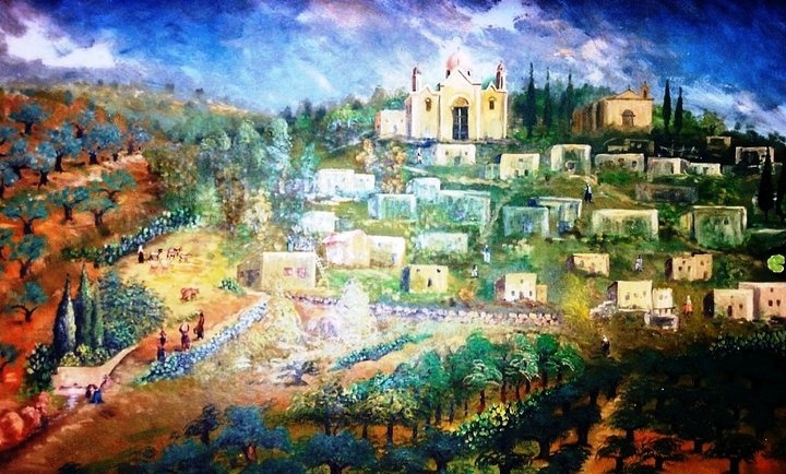
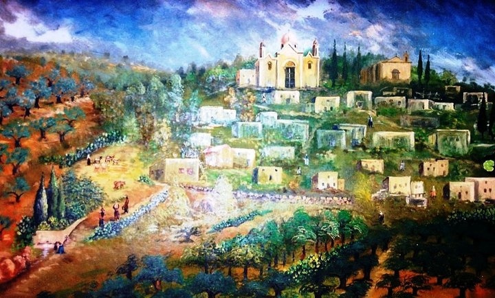
Ma'lul was a Palestinian village located 6 km west from Nazareth. The village stood on the northern edge of Wadi al-Mujaydil, facing the village of al-Mujaydil. Two springs lay in the vicinity of Ma'lul, one to the northeast and the other to the northwest. A secondary road linked it to the Nazareth-Haifa highway, which passed a short distance to the southeast.
Ma'lul was one of the village in Lower Galilee that was occupied during the second stage of operation Dekel, according to Israeli historian Benny Morris. He states that is was occupied one day before the capture of Nazareth on 15 July 1948, but a United Press report at the time indicated that Ma'lul was occupied one day earlier. Morris also states that the village was completely emptied of its residents and its houses levelled.
Morris states that an Israeli settlement, Timurim, was established at Ma'lul in June 1948, or during the month before its occupation. This earlier date for its foundation may indicate that the settlement was erected on lands belonging to the village but not on the site of the village itself. An Israeli gazetteer states that the settlement of Timorim was originally established near the village site but was later transferred to another location, north of Qiryat Gat. An agricultural training farm, Timrat, was in operation near the village during the 50's, having taken the place of the settlement of Timmorim, but it was later abandoned. The Jewish Agency made plans to reestablish the settlement of Timrat in the late 1970's, and in 1983 completed work on it. By 1988m there were 862 settlers living there. It is 1.5 km west of the village site, and part of it is on village land. A military base has also been established on village land. Kefar ha-Choresh , founded in 1933, is to the east, and Migdal ha-Emeq, founded in 1952, is to the southwest, on lands that belonged to the village of al-Mujaydil.
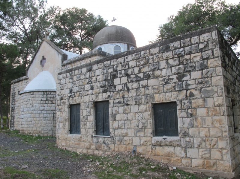
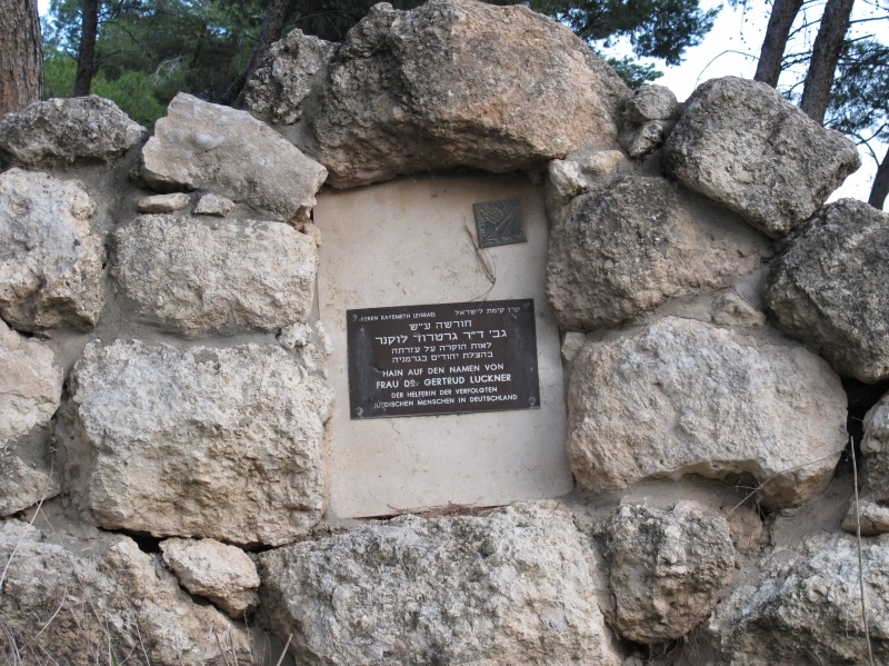
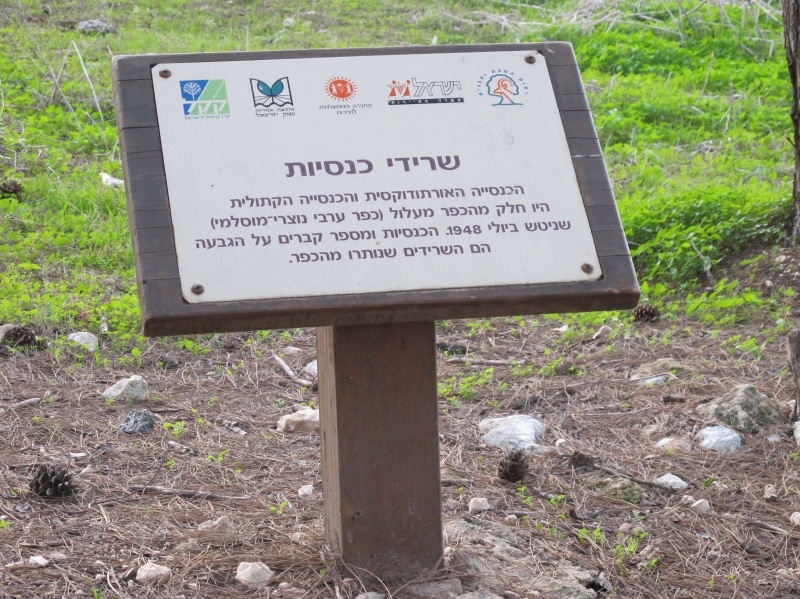
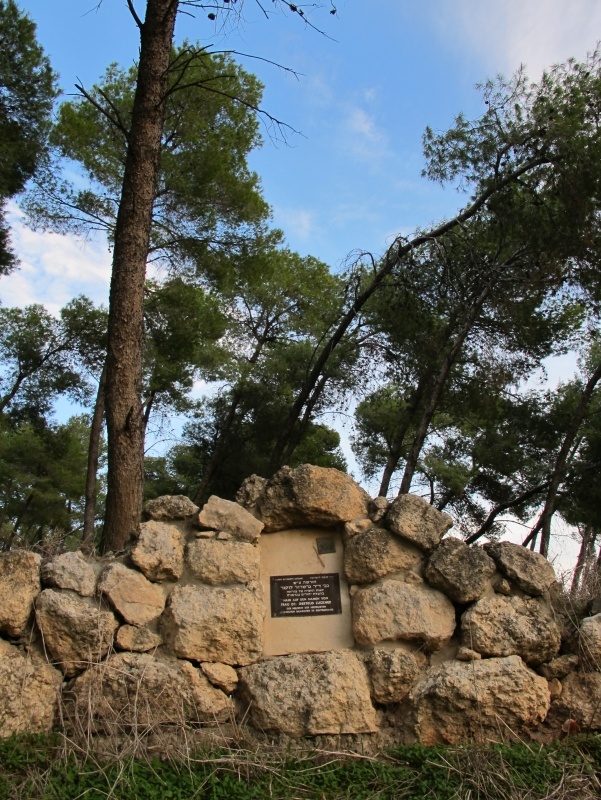
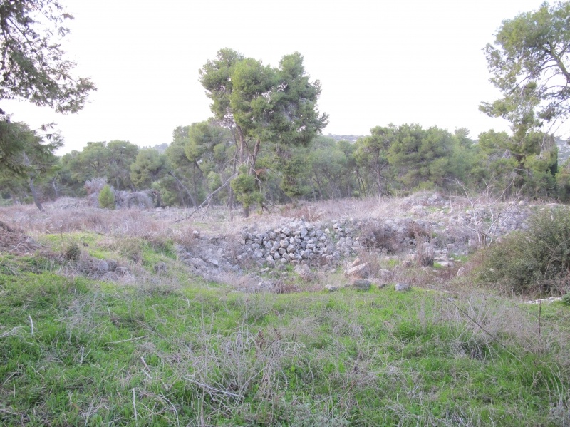
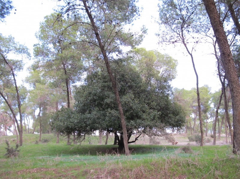
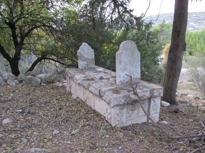
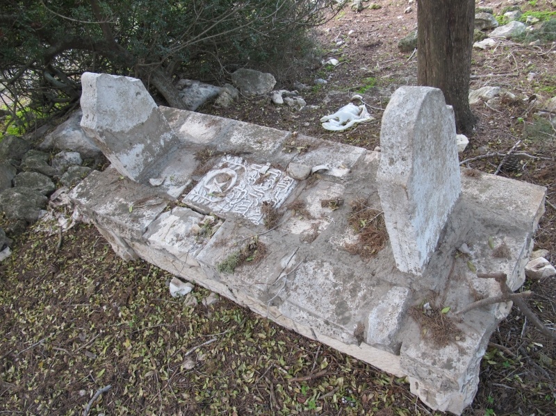
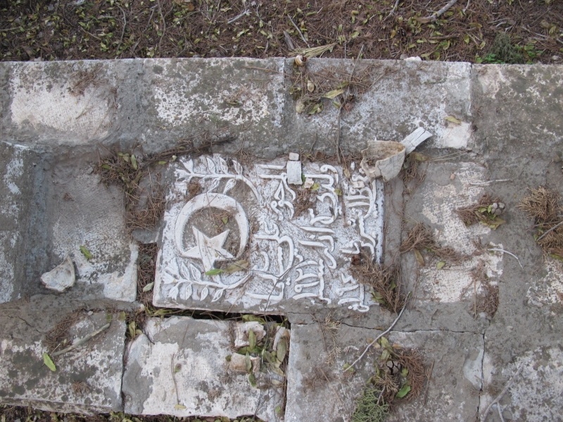
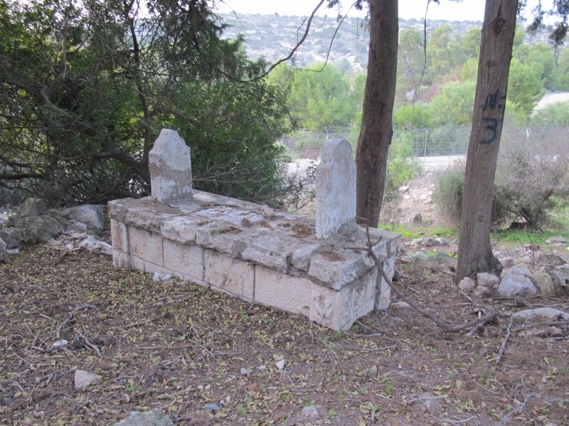
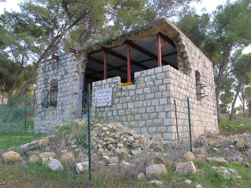
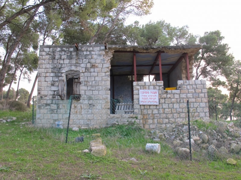
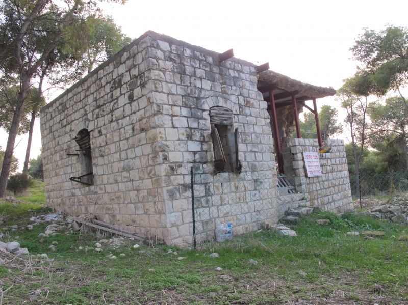
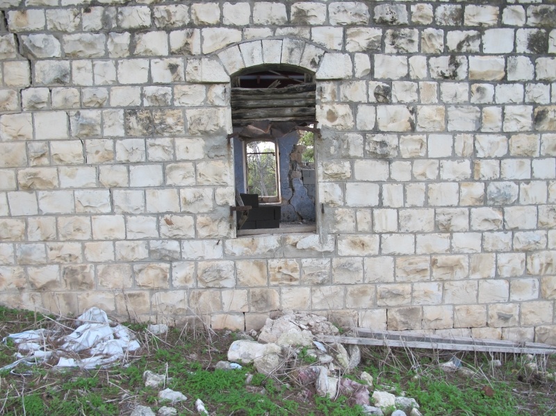
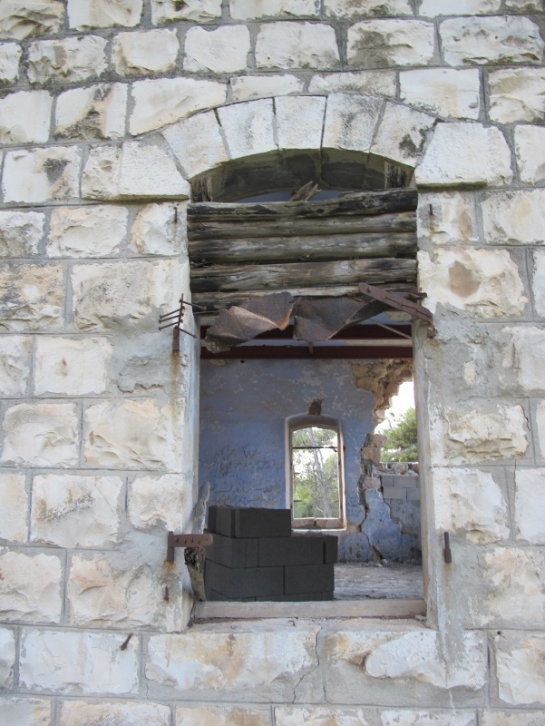
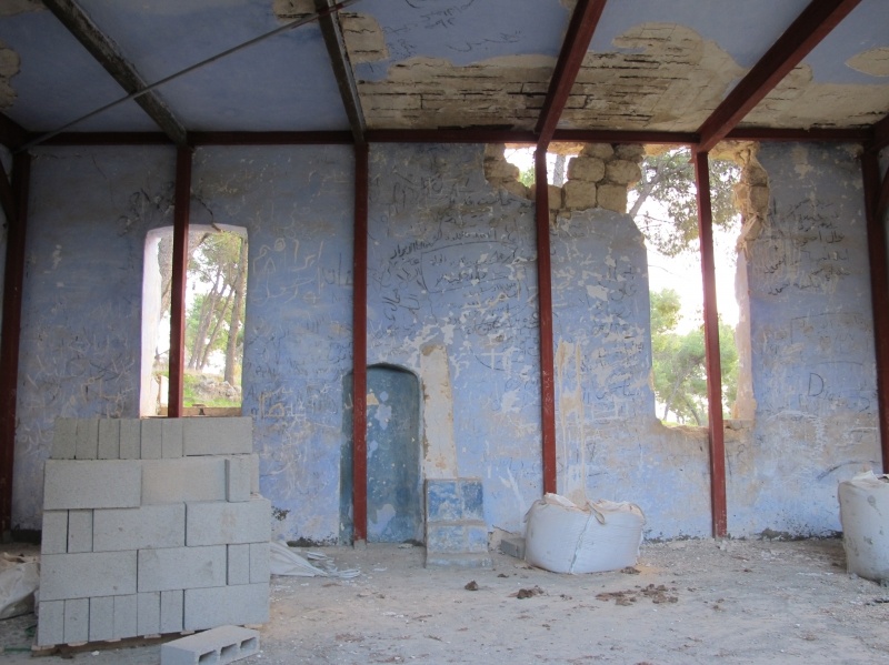
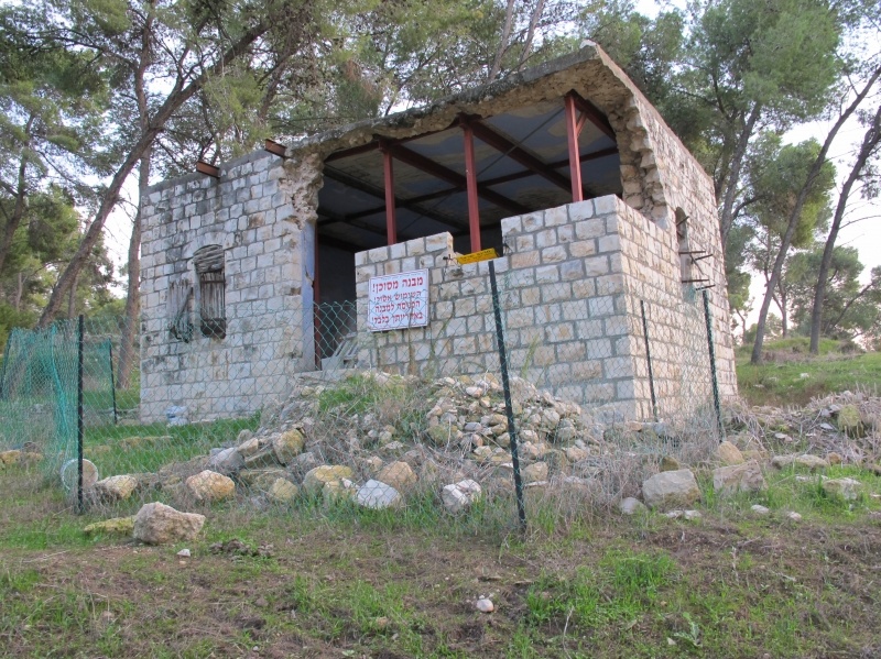
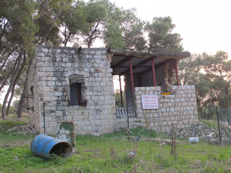
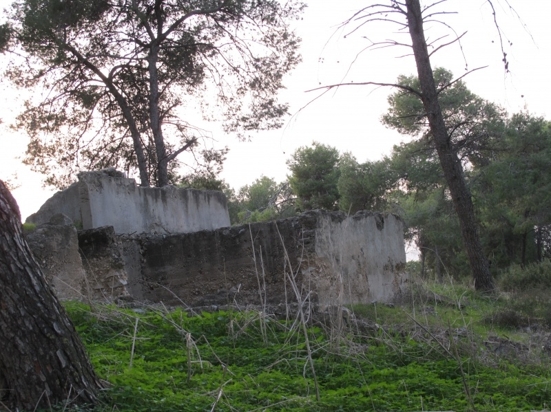
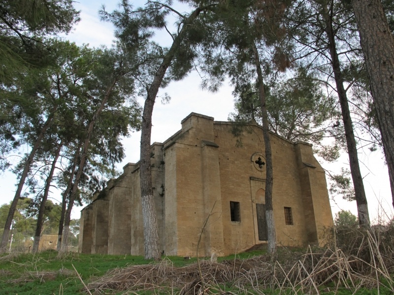
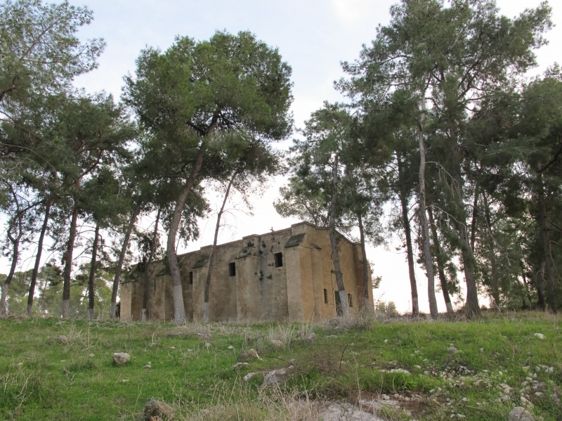
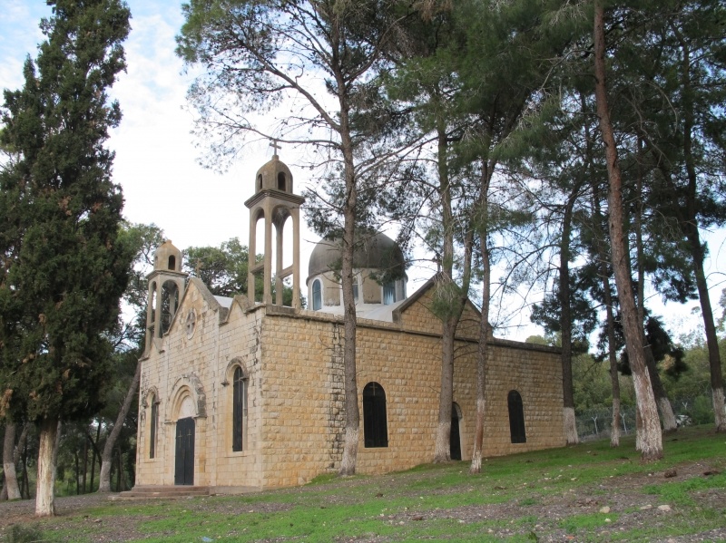
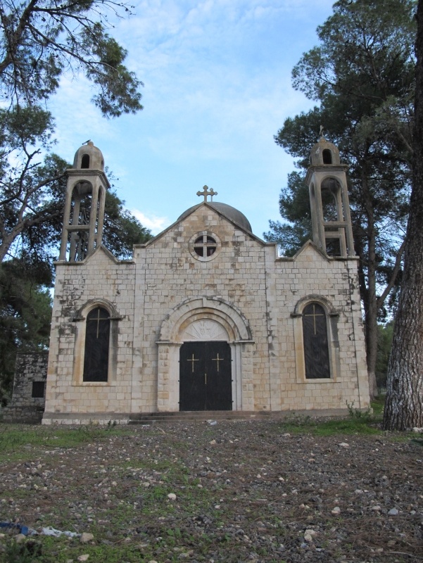
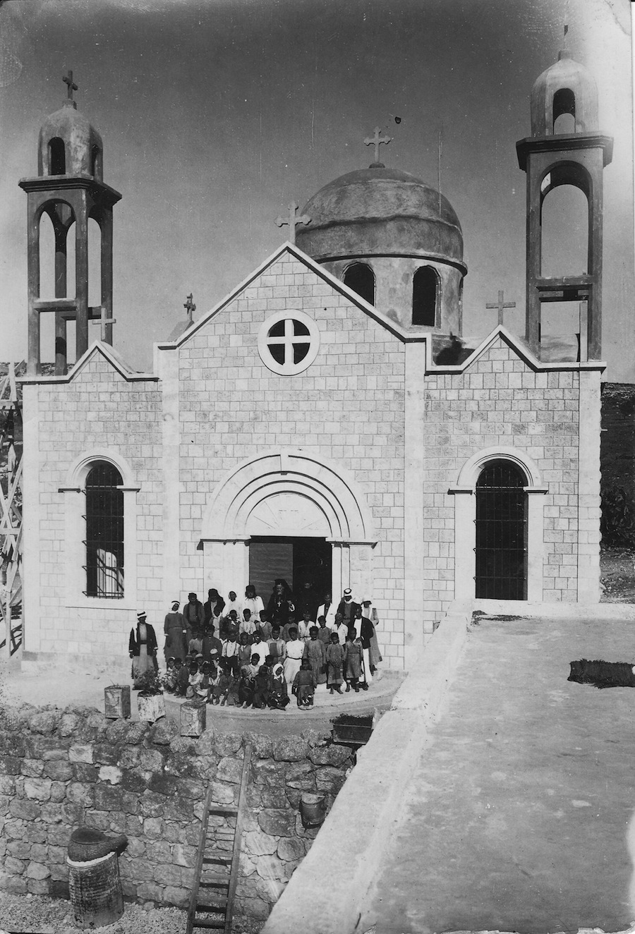
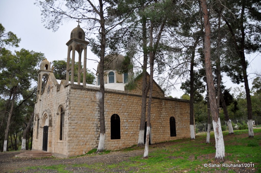
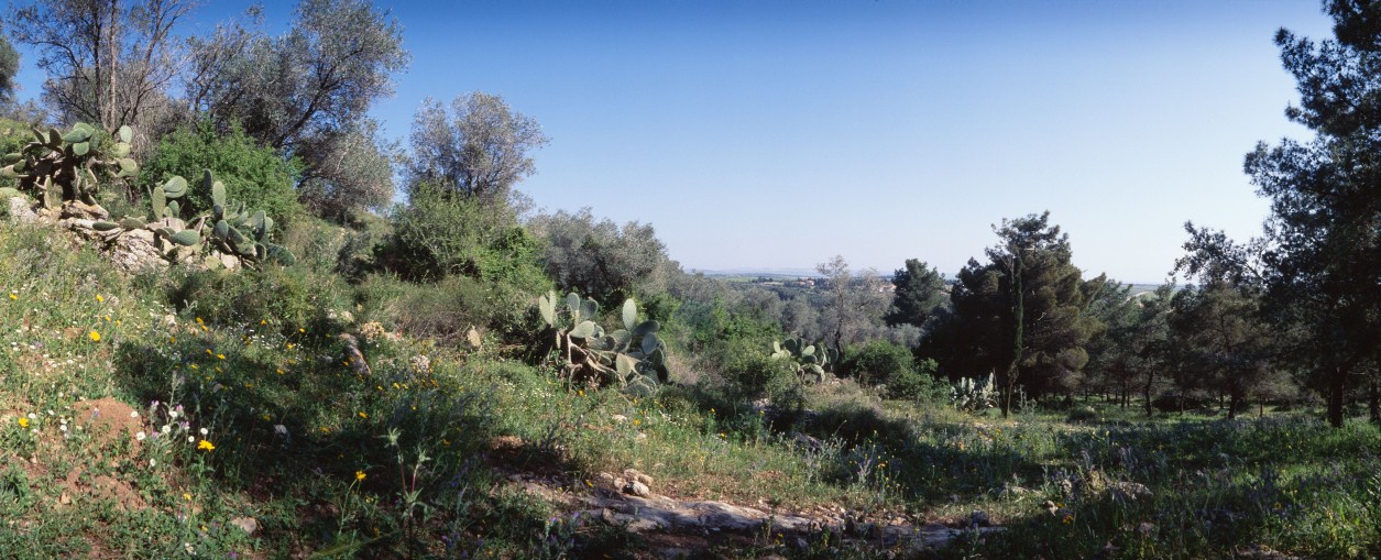
The village today is now covered by a pine forest planted by the Jewish National Fund and dedicated to the memory of prominent Jews and some non-jewish Americans and Europeans. A military base is also on the site. The mosque and two churches still stand, and are used intermittently as cow sheds by the residents of Kibbutz Kefar ha-Choresh. Overlooking Wadi al-Halabi, between the village site and the site of al-Mujaydil, is an Israeli plastics factory. Cactus, olive trees, and fig trees grow on the site, which is strewn with piles of stones. A few tombs in the Muslim cemetery across from the mosque can be seen. The main village site also contains the remains of houses.


